Loading trail…

Trillium Falls Trail
Free — you'll pick up right here.
Watch this trail
Sign up to watch it — saving subscribes you to gate, closure and report changes.
California
We won't guess. Here is exactly what we do and don't know.
What we do know
Inside Redwood National Park
National Park unit boundary is mapped — agency alerts for it feed this page automatically.
Boundary data
What's missing
No access route mapped
We don't yet know which road reaches this trailhead, so we can't tell you if it's gated.
Nobody's filed a report here yet — be the first.
Why you'll love it
Trillium Falls Trail
AI-suggested draft · review before you go
No elevation data on file for this trail.
No permit or access details on file for this trail — check with the local land manager before you go.
<strong>A Highly Recommended Walk </strong><br /> <br /> This is a family-friendly, short hike passing old-growth redwoods, maples, trillium flowers, ferns, and huge fir trees... with a small waterfall too! There are some switchbacks and an elevation gain of 200-feet to reach the falls.<br /> <br /> Trailhead parking is located at the <a href="https://www.nps.gov/places/elkmeadow.htm">Elk Meadow Day Use Area</a> - just off Davison Road, three miles north of Orick. There is drinking water, information kiosks, flush toilets, picnic tables and it has <strong>plenty of parking for vehicles of any size </strong>(busses, RV's, and trailers included).<br /> <br /> Because of the trail's beauty, and the good parking and picnic options, many rangers recommend this as the best little hike in Redwood National and State Parks. At the parking area, there is a good chance of seeing one of the <a href="https://www.nps.gov/redw/planyourvisit/safety.htm">Roosevelt elk</a> herds that live in the park.<br /> <br /> Trillium Falls is 1/2 mile from the trailhead and is a great photo stop and turn-around point. To protect the vegetation at the waterfall <strong>please stay on the hikers' bridge</strong>.<br /> <br /> If you want to see more of the 2.7 mile (4.3 km) loop, then continue past the falls. The trail will climb a few hundred feet again and lead you through more old-growth redwoods, past massive "chimney-trees" and you eventually will cross an old logging road. At this overgrown road, you can cut short your hike half a mile by following the grassy road downhill back to the parking lot. If you continue ahead on the trail, you will see more redwoods as you eventually drop down to in elevation. The trail will lead you north along the edge of Prairie Creek back to the Elk Meadow Day Use parking area.<br /> <br /> <span style="font-size:11pt"><span style="line-height:107%"><span style="font-family:Calibri,sans-serif">Safety Tips</span></span></span> <ul> <li><span style="font-size:11pt"><span style="line-height:107%"><span style="font-family:Calibri,sans-serif">We recommend you purchase and use a good map and trail guide for your adventures in Redwood National and State Parks. Don’t rely on online maps when you are here.</span></span></span></li> <li><span style="font-size:11pt"><span style="line-height:107%"><span style="font-family:Calibri,sans-serif">To protect the habitats, leave no trace also means staying on the developed trail. Please don’t go off-trail and make any new trails. These forests grow by the inch, and will die by your foot.</span></span></span></li> <li><span style="font-size:11pt"><span style="line-height:107%"><span style="font-family:Calibri,sans-serif">To protect the wildlife (and you and other visitors), pets are not allowed on park trails.</span></span></span></li> <li><span style="font-size:11pt"><span style="line-height:107%"><span style="font-family:Calibri,sans-serif">Cell coverage is very limited and cannot be relied on in an emergency. Have a plan for checking in and checking out with a friend when you are here.</span></span></span></li> </ul>
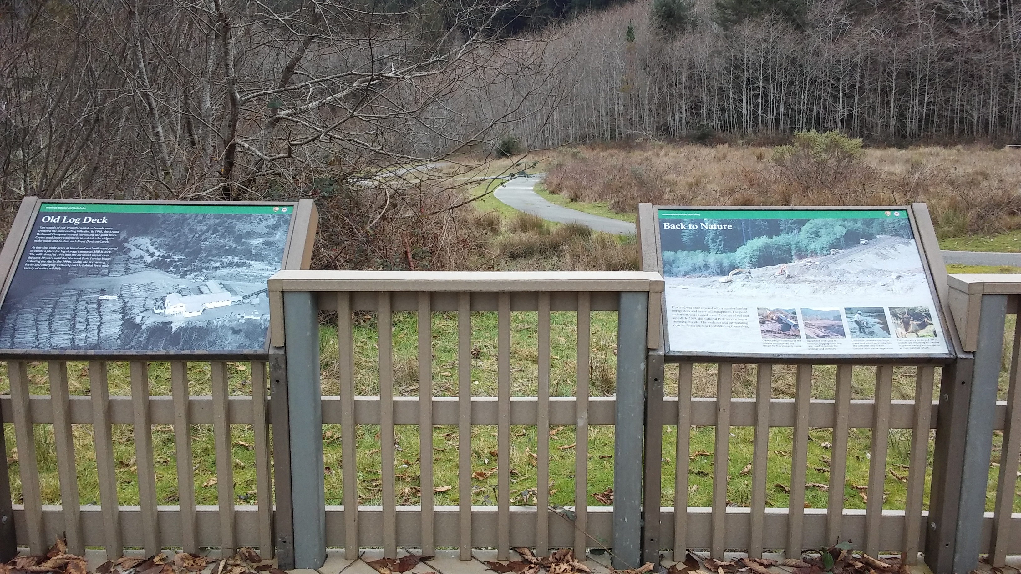
Elk Meadow Day Use Area
~0 min drive
This is a great hub for some hiking, biking, wildlife viewing AND it has plenty of parking! This combination is rare in the redwoods.<br /> <br /> Walkers and hikers love this place because it leads to the gentle Trillium Falls Trail with its old-growth redwoods, and also to t…
Blue Lake
~32 min drive
Easy 1.16-mile hike to a scenic alpine lake with 272 ft elevation gain.
East Fork Blue Creek
~32 min drive
Moderate creek-side hike with 696 ft gain near Blue Creek drainage.
Forks of Blue Creek
~41 min drive
Moderately challenging 15+ mile creek-side trek through California backcountry.
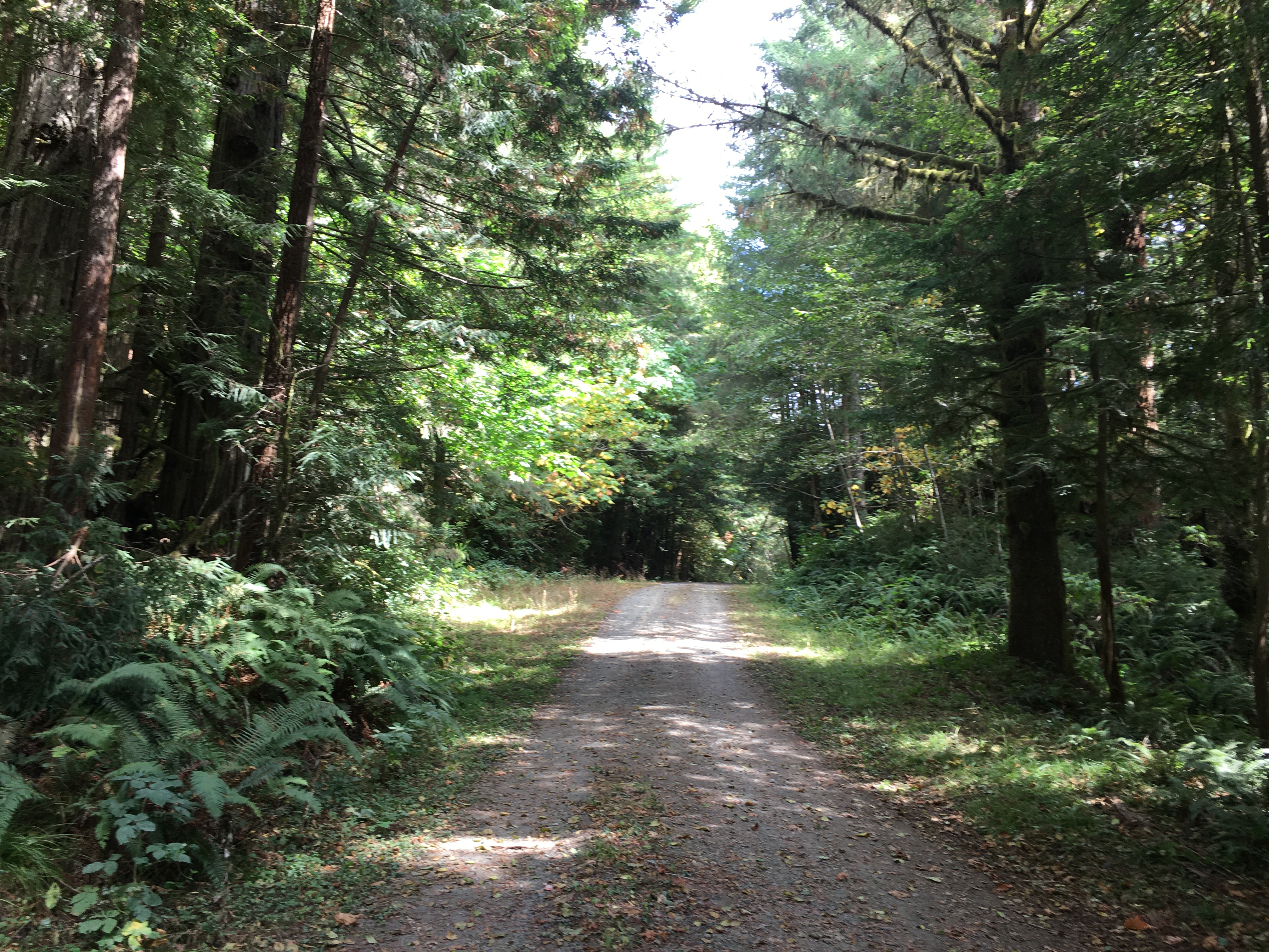
Davison Trail: South Access
~0 min drive
A short trail that is part of a of "Hike and Bike" hub in the southern end of the redwood parks. You will see first-hand the legacy of 20th century redwood logging practices.<br /> <br /> This 2.5 mile trail follows an old logging road from the Elk Meadow Day Use area to the E…
Fish Lake
~33 min drive
Easy 1.32-mile alpine lake hike with 592 ft elevation gain.
Red Mountain Lake
~33 min drive
Short alpine lake hike with steady elevation gain and mountain views.
Prospect Hill
~45 min drive
Moderate 9.12-mile foothills hike with 1,353 ft elevation gain.
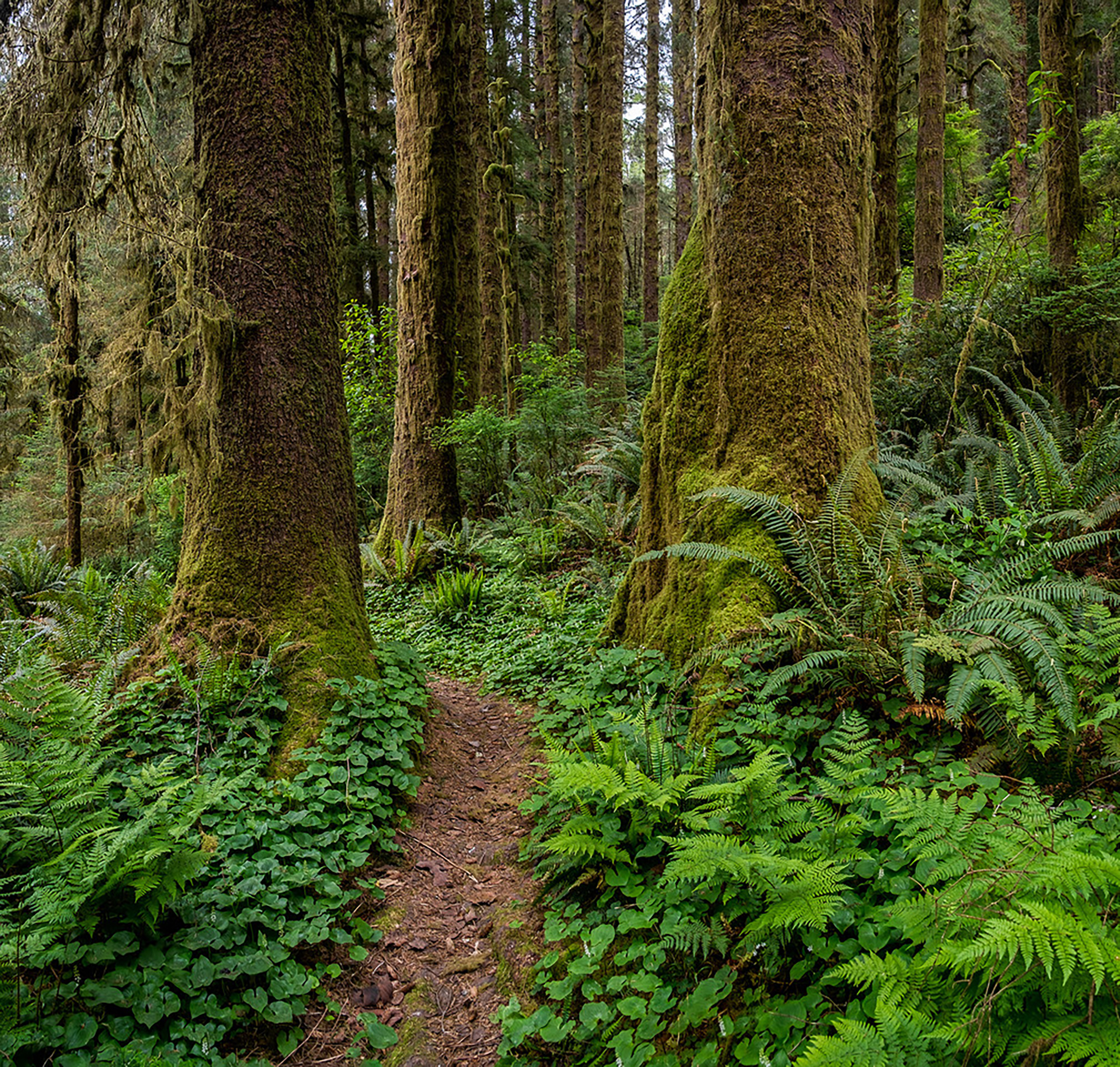
Coastal Trail: Skunk Cabbage (South)
~2 min drive
Located off HWY 101 on Robinson Road, this is the southern trailhead for the 7.5 long Skunk Cabbage Trail. The northern trailhead is on Gold Bluffs Beach - just north of the entrance kiosk. The Skunk Cabbage Trail is part of the California Coastal Trail system.<br /> <br /> Th…
Mc Clendon Ford
~42 min drive
Steep 1.95-mile foothill climb with 879 ft elevation gain.