Loading trail…

Free — you'll pick up right here.
Watch this trail
Sign up to watch it — saving subscribes you to gate, closure and report changes.
California
206 ft
Gain
We won't guess. Here is exactly what we do and don't know.
What we do know
Inside Redwood National Park
National Park unit boundary is mapped — agency alerts for it feed this page automatically.
Boundary data
What's missing
No access route mapped
We don't yet know which road reaches this trailhead, so we can't tell you if it's gated.
Nobody's filed a report here yet — be the first.
Why you'll love it
Trailhead: Karl Knapp (Prairie Creek) to Foothills Trail Loop
AI-suggested draft · review before you go
No permit or access details on file for this trail — check with the local land manager before you go.
<strong>Note: In late 2021 the Prairie Creek Trail was renamed the Karl Knapp Trail.</strong> Future publications, maps, and signs will show the new name.<br /> <br /> The Karl Knapp Trailhead is next to the Prairie Creek Visitor Center. This is a loop trail that can be completed in either direction. <br /> <br /> This loop is a combination of three, connected trails: <ol> <li><strong>Karl Knapp Trail</strong></li> <li><strong> Foothills Trail </strong></li> <li><strong>Cathedral Trees Trail (only a few hundred feet of it)</strong></li> </ol> Want to learn more about navigating the Karl Knapp (Prairie Creek) to Foothill Trail Loop? Visit our <a href="https://www.nps.gov/thingstodo/knapp_foothill-trail.htm">"Walk the Karl Knapp (Prairie Creek) to Foothill Trail Loop" page.</a><br /> <hr /> <h3><u>Parking:</u></h3> Parking close to this trailhead can be hard to find in summer. There is <strong>plenty of parking for RVs and trailers along the Elk Meadow section of Newton B. Drury Scenic Parkway.</strong> <h3><u>Map Tips:</u></h3> <ul> <li>Use the zoom feature to explore trails and other digital map features in greater detail.</li> <li>Don’t solely rely on online maps when you are here.</li> </ul> <ul> <li>We recommend you use a physical map or trail guide for your adventures in Redwood National and State Parks.</li> <li>Staff are available at visitor centers to help with additional trip planning needs.</li> </ul> <h3><u>Safety Tips:</u></h3> <ul> <li>To protect the habitats, leave no trace also means staying on the developed trail. Please don’t go off-trail and make any new trails. These forests grow by the inch, and will die by your foot.</li> </ul> <ul> <li>To protect the wildlife (and you and other visitors), pets are not allowed on park trails. <ul> <li><a href="https://www.nps.gov/redw/planyourvisit/safety.htm">Roosevelt elk </a>can be blocking the trail and it's important not to approach these large and wild animals. If you need to turn back - then that is the smartest decision to make.</li> </ul> </li> </ul> <ul> <li>Cell coverage is very limited and cannot be relied on in an emergency. Have a plan for checking in and checking out with a friend when you are here.</li> </ul> <br /> <br />
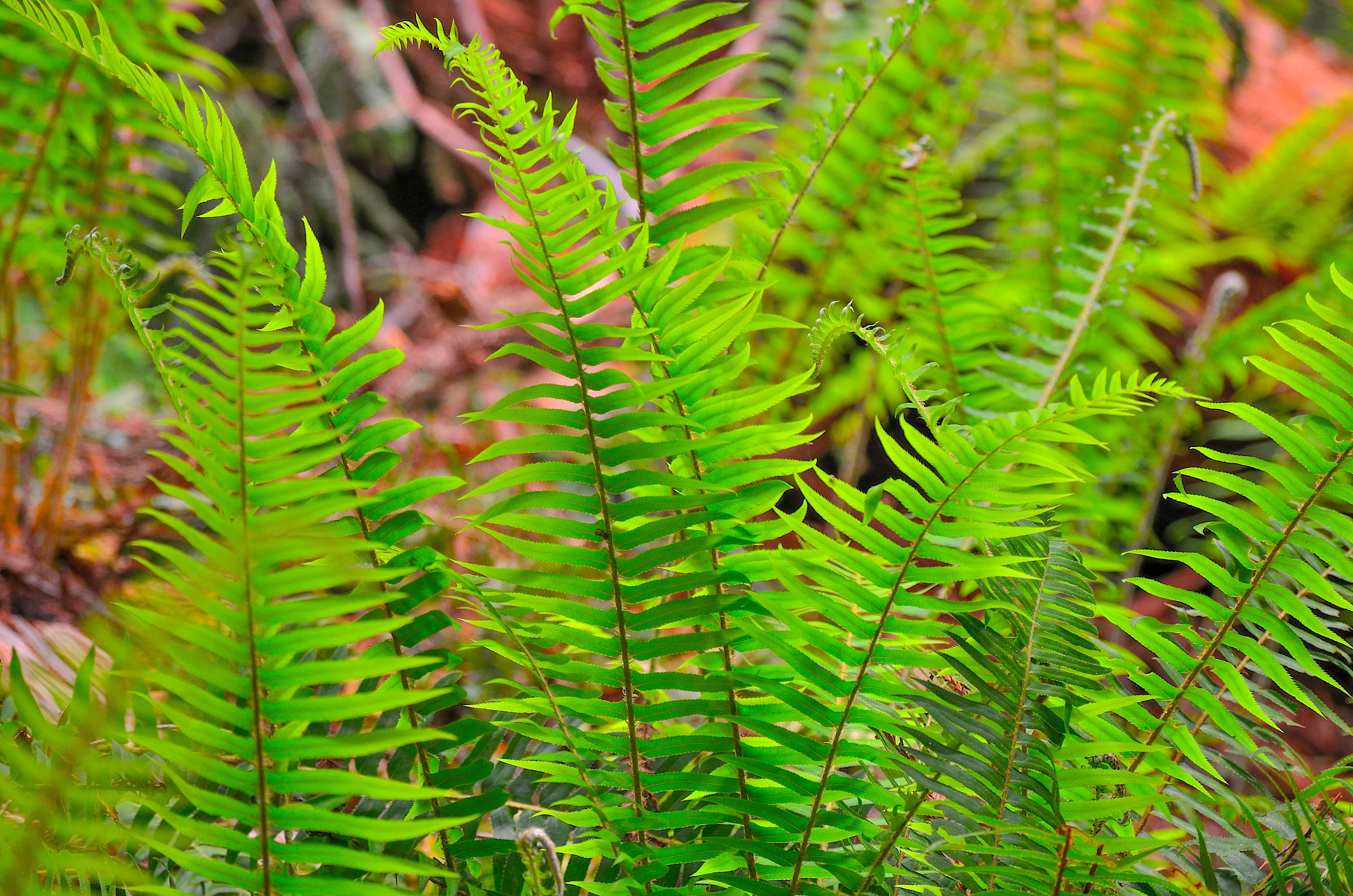
Revelation Trail
~0 min drive
<strong>A short but meaningful walk thru the redwoods.</strong><br /> <br /> This 1/4 mile long loop-trail is flat and is through some of the most beautiful, and easily accessible old-growth redwoods. Interpretive signs encourage the use of different senses to learn about and…
East Fork Blue Creek
~28 min drive
Moderate creek-side hike with 696 ft gain near Blue Creek drainage.
Blue Lake
~32 min drive
Easy 1.16-mile hike to a scenic alpine lake with 272 ft elevation gain.
Forks of Blue Creek
~37 min drive
Moderately challenging 15+ mile creek-side trek through California backcountry.
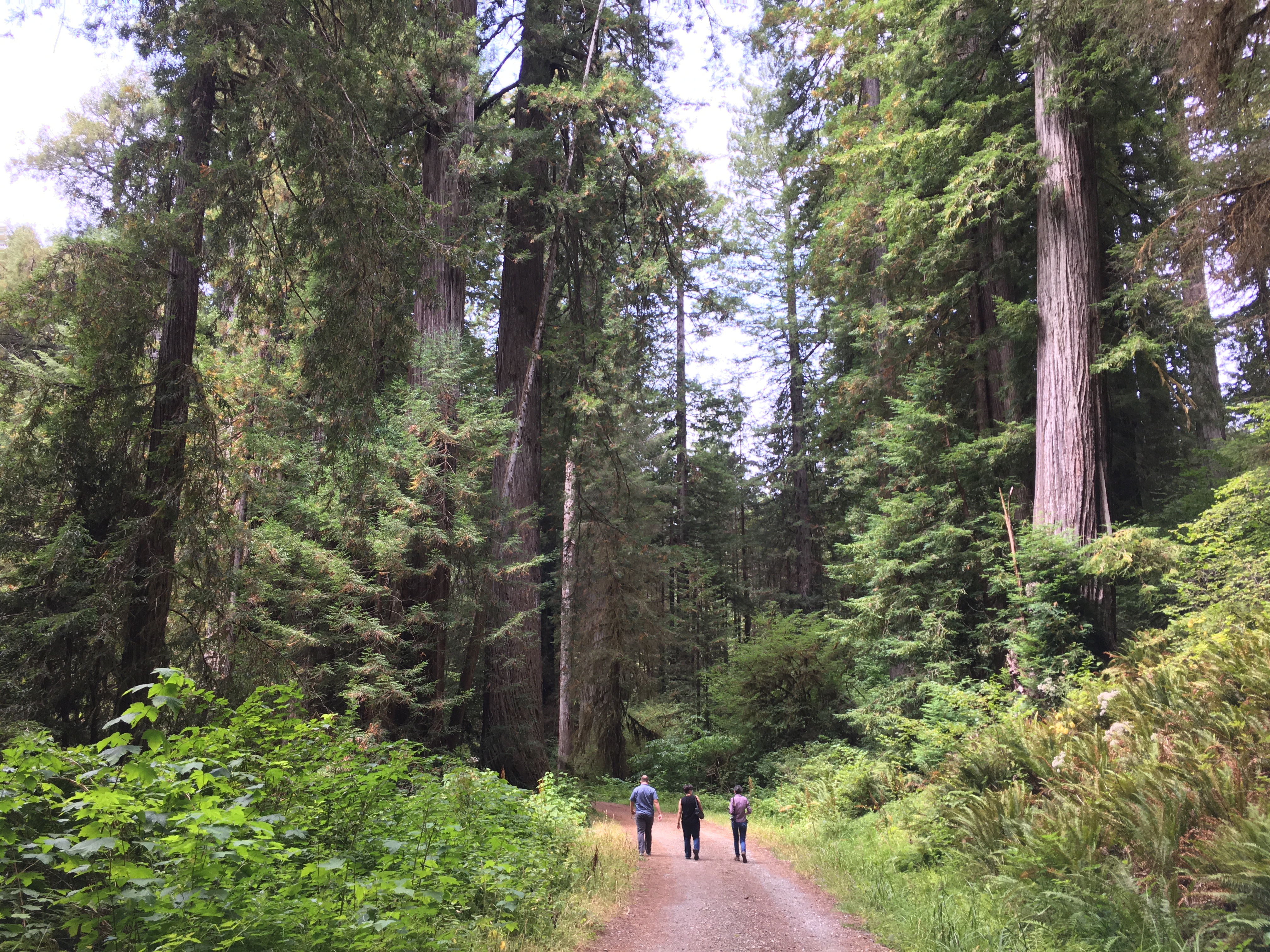
Lost Man Creek: Hike and Bike Trail
~4 min drive
An Opportunity To Ride (Or Stroll) Through A Landscape In Recovery.<br /> <br /> Lost Man Creek flows through a landscape greatly changed from the 1960s when much of this area was clearcut logged. What used to be a logging road has been converted into a hike and bike trail. Lo…
Red Mountain Lake
~33 min drive
Short alpine lake hike with steady elevation gain and mountain views.
Fish Lake
~32 min drive
Easy 1.32-mile alpine lake hike with 592 ft elevation gain.
Old South Kelsey
~40 min drive
Strenuous 15.8-mile backcountry trail with 2,396 ft elevation gain.
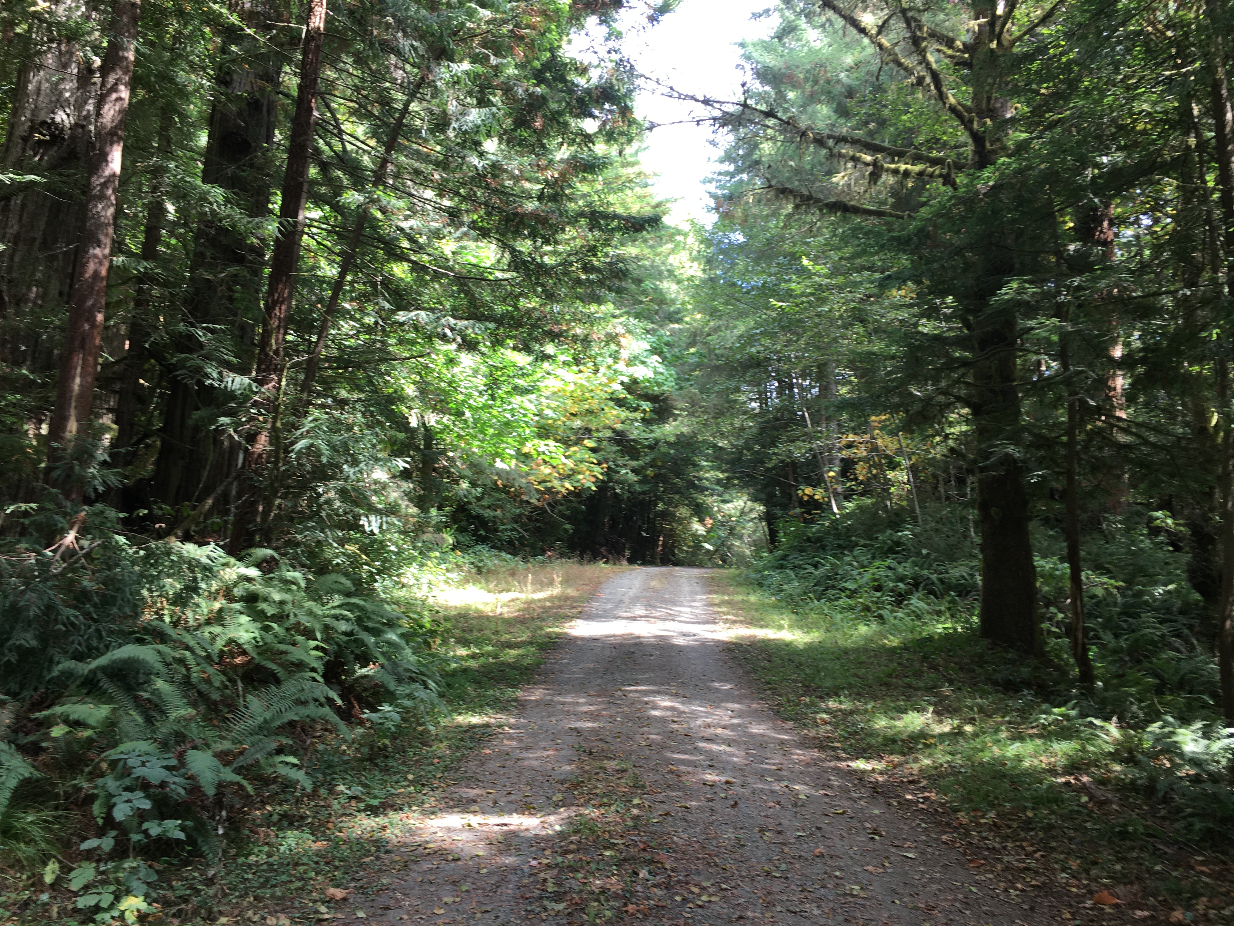
Davison Trail: South Access
~5 min drive
A short trail that is part of a of "Hike and Bike" hub in the southern end of the redwood parks. You will see first-hand the legacy of 20th century redwood logging practices.<br /> <br /> This 2.5 mile trail follows an old logging road from the Elk Meadow Day Use area to the E…
Camp Creek
~37 min drive
Moderate 5-mile climb with 1,826 ft gain through creek-side forest.