Loading trail…

Free — you'll pick up right here.
Watch this trail
Sign up to watch it — saving subscribes you to gate, closure and report changes.
California
3.9 mi
Distance
209 ft
Gain
We won't guess. Here is exactly what we do and don't know.
What we do know
Inside Shasta-Trinity National Forest
2 managing-area boundaries mapped — agency alerts for them feed this page automatically.
Boundary data
What's missing
No access route mapped
We don't yet know which road reaches this trailhead, so we can't tell you if it's gated.
Nobody's filed a report here yet — be the first.
Why you'll love it
Snow Gap
AI-suggested draft · review before you go
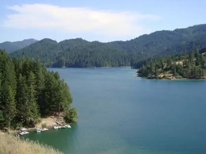
Snow Gap is a scenic 3.94-mile trail offering accessible hiking with modest elevation gain through California's varied terrain. This route provides a rewarding outdoor experience with approximately 209 feet of elevation gain, making it ideal for hikers seeking a shorter day hike without strenuous climbing.
Dog Gulch
~5 min drive
Easy 2.5-mile gulch hike with minimal elevation gain.
Smoky Creek
~6 min drive
Moderate 10.57-mile creek-side hike with 1,111 ft elevation gain.
North Fork
~11 min drive
Moderate 5-mile trail with 832 ft gain near North Fork, California.
Lake Vista Trail
~18 min drive
Scenic 1.92-mile climb with 769 ft gain and lake views.
Rough Gulch
~6 min drive
Moderate 8.5-mile gulch hike with steady elevation gain and scenic canyon views.
Trough Ridge
~14 min drive
Accessible ridgeline hike with scenic vistas and gentle elevation gain.
Blacks Camp
~20 min drive
Easy 1.36-mile trail with 195 ft gain near Blacks Camp.
Marble Caves
~14 min drive
Moderate 6.4-mile hike to marble cave formations with 2,509 ft elevation gain.
Pickett Peak Trail
~16 min drive
Moderate 5.71-mile hike to Pickett Peak with 432 ft elevation gain.
Grouse Ridge
~20 min drive
Steep Sierra foothills ridge climb with significant elevation gain in minimal distance.