Loading trail…

Free — you'll pick up right here.
Watch this trail
Sign up to watch it — saving subscribes you to gate, closure and report changes.
California
1.0 mi
Distance
411 ft
Gain
We won't guess. Here is exactly what we do and don't know.
What we do know
Inside Rogue River-Siskiyou National Forests
3 managing-area boundaries mapped — agency alerts for them feed this page automatically.
Boundary data
What's missing
No access route mapped
We don't yet know which road reaches this trailhead, so we can't tell you if it's gated.
Nobody's filed a report here yet — be the first.
Why you'll love it
Sanger Creek
AI-suggested draft · review before you go
No permit or access details on file for this trail — check with the local land manager before you go.
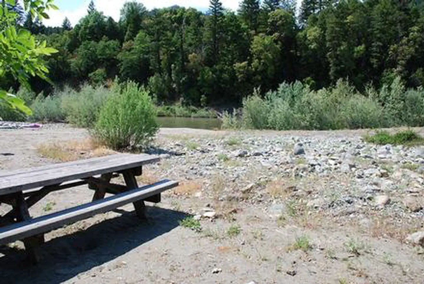
Sanger Creek is a short, accessible trail perfect for families and casual hikers seeking a quick outdoor escape in the Sierra Nevada foothills. This 1-mile route features a steady climb through mixed conifer forest with the soothing presence of creek water nearby. The modest elevation gain makes it an ideal warm-up hike or afternoon adventure.
Sanger Peak Lookout
~2 min drive
Quick steep climb to a historic fire lookout with panoramic views.
Black Butte
~2 min drive
Steady climb to a volcanic summit with panoramic views.
Osgood Ditch
~8 min drive
Moderate 3.1-mile trail with 1,079 ft gain following historic ditch infrastructure.
Franz Meadows
~25 min drive
Easy out-and-back meadow walk in Oregon.
Youngs Valley
~5 min drive
Short valley hike with gentle elevation gain near Youngs Valley.
East Fork Illinois River
~2 min drive
Moderate riverside hike along the East Fork Illinois River with steady forest terrain.
Rattlesnake Meadows
~8 min drive
Moderate meadow hike with 1,873 ft elevation gain and alpine views.
Limestone Trail
~27 min drive
Easy 0.80-mile out-and-back limestone geology walk in Oregon.
Crazy Peak
~5 min drive
Quick 1.74-mile summit hike with 315 ft gain and excellent views.
Raspberry Lake
~6 min drive
Moderate 6-mile hike to alpine lake with 1,758 ft elevation gain.