Loading trail…

Free — you'll pick up right here.
Watch this trail
Sign up to watch it — saving subscribes you to gate, closure and report changes.
California
8.1 mi
Distance
947 ft
Gain
An agency closure order is in effect for this area; weather is good
2 factors · 2 sources
Newest 7 h ago · oldest 15 d
problem: Agency alerts
13 active alerts in Stanislaus National Forest; most severe: Extension of Seasonal Road Closures
USFS15 d ago
clear: Weather
Clear, high 84°F / low 63°F, 0% precip — 93/100 for hike
OpenWeather7 h ago
Been out here in the last few days? One report keeps this current for everyone.
Why you'll love it
Preston Falls
AI-suggested draft · review before you go
No permit or access details on file for this trail — check with the local land manager before you go.
Preston Falls is a moderate 8.1-mile round-trip hike featuring nearly 1,000 feet of elevation gain through scenic California terrain. This trail leads hikers to a picturesque waterfall, offering a rewarding destination with steady climbing through mixed forest and open sections. The combination of distance and elevation gain makes this an ideal day hike for those seeking a moderate challenge with natural water features.
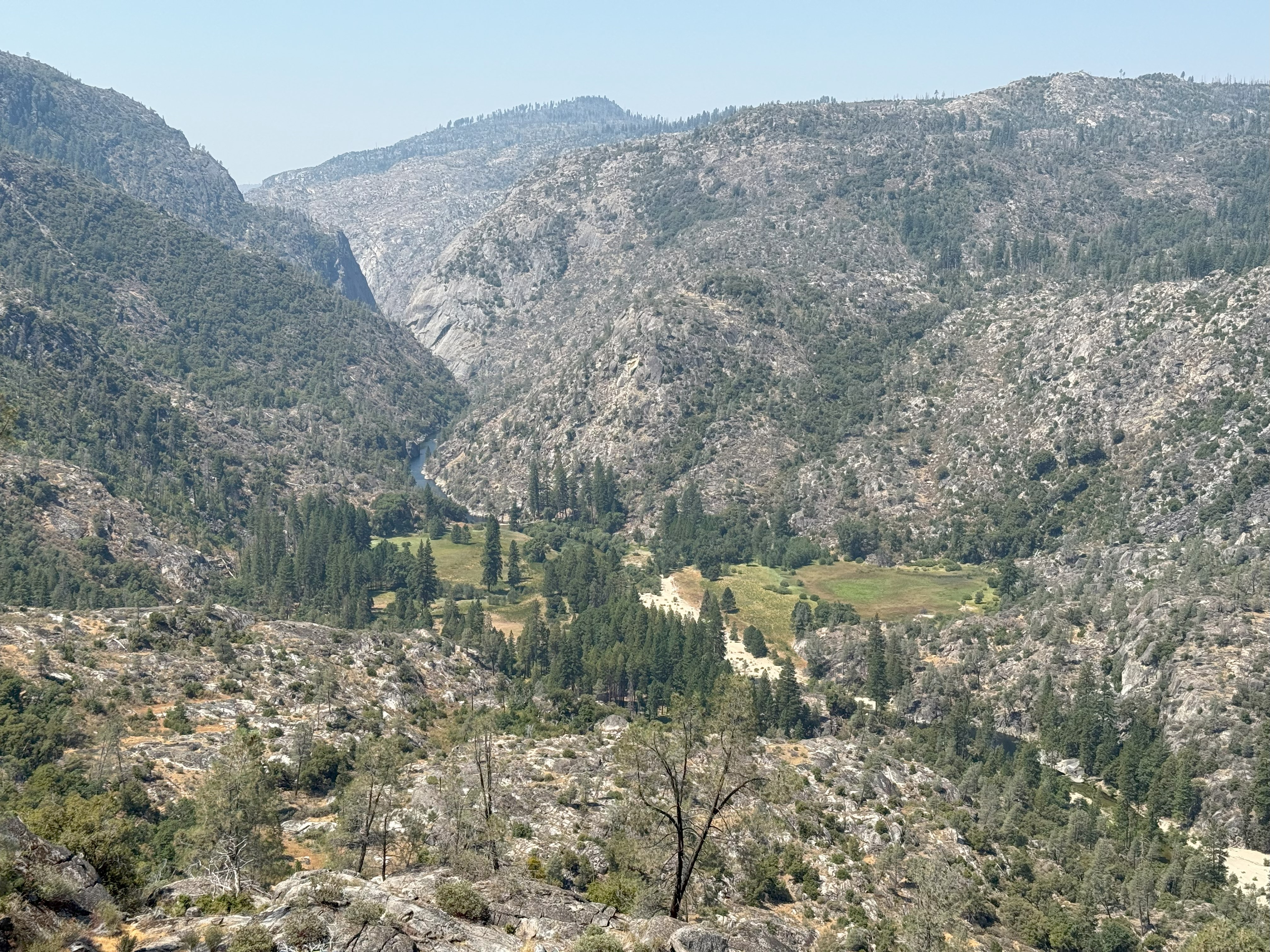
Poopenaut Valley Trailhead
~13 min drive
<p>This short, steep hike down to the Tuolumne River in Poopenaut Valley is a great spot for wildflowers in spring. Be aware that this is a steep hike on the return trip to the parking area. If you hike down, you must be able to hike back up! Parking is very limited.<br /> <br…
Cherry Creek
~2 min drive
Scenic 1.88-mile creek-side hike with steady elevation gain.
Yosemite Border
~7 min drive
Scenic 3.25-mile hike along Yosemite's border with moderate elevation gain.
Tuolumne Canyon
~12 min drive
Moderate 10.45-mile canyon hike with 2,628 ft elevation gain in the Sierra foothills.
Trail 323248010602
~6 min drive
Steep 2-mile alpine climb with 3,362 ft elevation gain.
Railroad, South Fork Tuolumne
~9 min drive
Historic railroad grade trail along South Fork Tuolumne with gentle grades and river views.
Huckleberry Trail
~13 min drive
A demanding 46-mile backcountry trail for experienced hikers seeking extended wilderness adventure.
Golden Stairs to Cherry Oil Rd
~8 min drive
Short foothill hike with steady climb and accessible terrain.
Golden Forest Interp. Trail
~16 min drive
Easy interpretive forest loop with educational signage and gentle terrain.
N. Fork Merced River (Lower)
~18 min drive
Moderate riverside hike along the North Fork Merced River with forest and canyon views.