Loading trail…

Free — you'll pick up right here.
Watch this trail
Sign up to watch it — saving subscribes you to gate, closure and report changes.
California
6.2 mi
Distance
1,158 ft
Gain
We won't guess. Here is exactly what we do and don't know.
What we do know
Inside Modoc National Forest
2 managing-area boundaries mapped — agency alerts for them feed this page automatically.
Boundary data
What's missing
No access route mapped
We don't yet know which road reaches this trailhead, so we can't tell you if it's gated.
Nobody's filed a report here yet — be the first.
Why you'll love it
Pit River Trail
AI-suggested draft · review before you go
No permit or access details on file for this trail — check with the local land manager before you go.
The Pit River Trail offers a moderate day hike through northeastern California's volcanic landscape, following the scenic Pit River corridor with views of basalt formations and riparian vegetation. This 6.18-mile route gains over 1,100 feet of elevation while traversing mixed terrain typical of the Modoc Plateau region. The trail provides an excellent opportunity to explore the geological and hydrological features that define this remote corner of California.
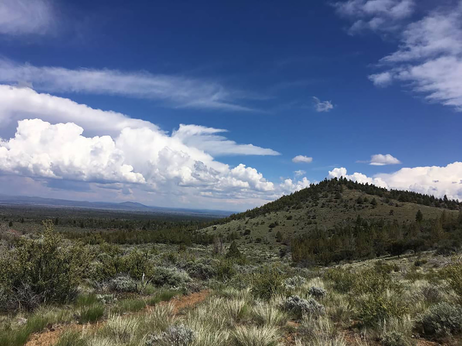
Bunchgrass Trail Start, Tulelake, CA
~57 min drive
<p>Start across from Site B-7 in the campground. Follow along the northeast side of Crescent Butte to the park road. Approximately 1 mile (1.6 km) long.</p> <p>Lava Beds has twelve hiking trails. The most popular trails are short, but lead to interesting historic sites and geo…
Howards Gulch Trail
~13 min drive
Easy 1.2-mile gulch hike with minimal elevation gain.
Red Tail Rim Trail
~32 min drive
Remote 38-mile rim trail with 3,000 ft gain for experienced backpackers.
Ml Rd 49
~58 min drive
Steady 4.6-mile foothill climb with moderate elevation gain.
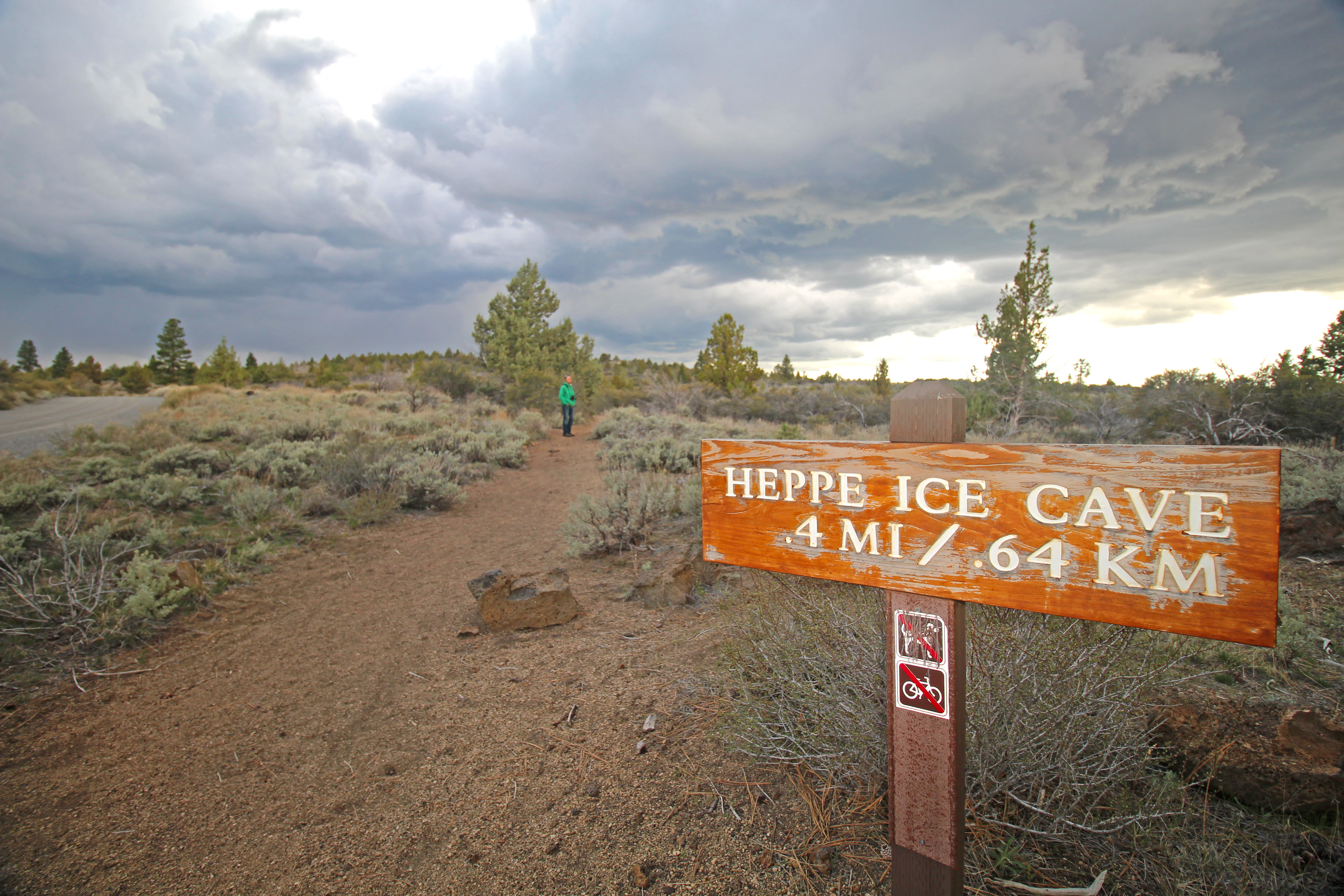
Heppe Cave Trail Start, Tulelake, CA
~58 min drive
<p><strong>Heppe Cave Trail</strong> can be found on the road to Mammoth Crater. This 0.4-mile (0.6 km) trail begins under tall Ponderosa pines. As you reach the end of the trail, you will view an enormous collapse. Follow the trail into Heppe Ice Cave that has a large opening…
Medicine Lake Glass Flow Trail
~55 min drive
Easy volcanic glass flow walk with unique obsidian landscape views.
Little Mount Hoffman Trail
~56 min drive
6.12-mile moderate hike with 678 ft gain in the Sierra Nevada.
Mill Creek North
~1h 11m drive
Moderate 5.4-mile creek-side climb with 2,000 ft elevation gain.
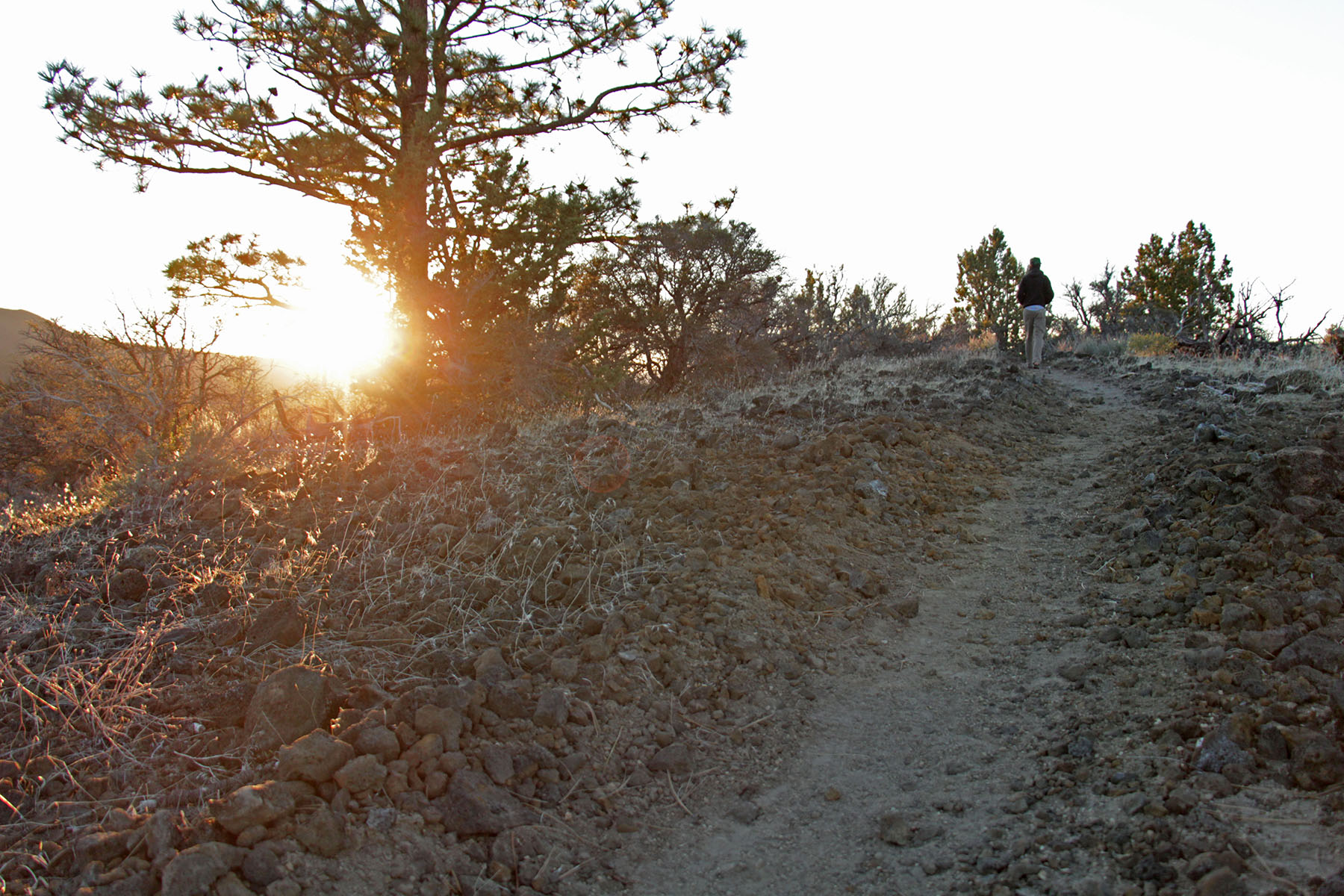
Big Nasty Trail Start, Tulelake, Ca
~58 min drive
<p>A loop trail, Big Nasty is 2 miles (3.2 km) long. Named after a brush-covered rough lava area just to the north— “it is big and it is nasty!” From the Mammoth Crater/Hidden Valley pullout, the trail starts along the crater rim. Turn left from the Mammoth Crater Trail.<br />…
Medicine Lakeshore Trail
~55 min drive
Easy lakeside loop with scenic alpine views and minimal elevation gain.