Loading trail…

Free — you'll pick up right here.
Watch this trail
Sign up to watch it — saving subscribes you to gate, closure and report changes.
California
2.6 mi
Distance
387 ft
Gain
We won't guess. Here is exactly what we do and don't know.
What we do know
Inside Stanislaus National Forest
2 managing-area boundaries mapped — agency alerts for them feed this page automatically.
Boundary data
What's missing
No access route mapped
We don't yet know which road reaches this trailhead, so we can't tell you if it's gated.
Nobody's filed a report here yet — be the first.
Why you'll love it
Mather
AI-suggested draft · review before you go
No permit or access details on file for this trail — check with the local land manager before you go.
Mather Trail is a short, accessible 2.62-mile hike with modest elevation gain, making it an excellent choice for families and casual hikers. This trail offers a pleasant walk through California terrain with approximately 387 feet of elevation gain spread across the route. The relatively gentle gradient and manageable distance make it ideal for a quick morning or afternoon outing.
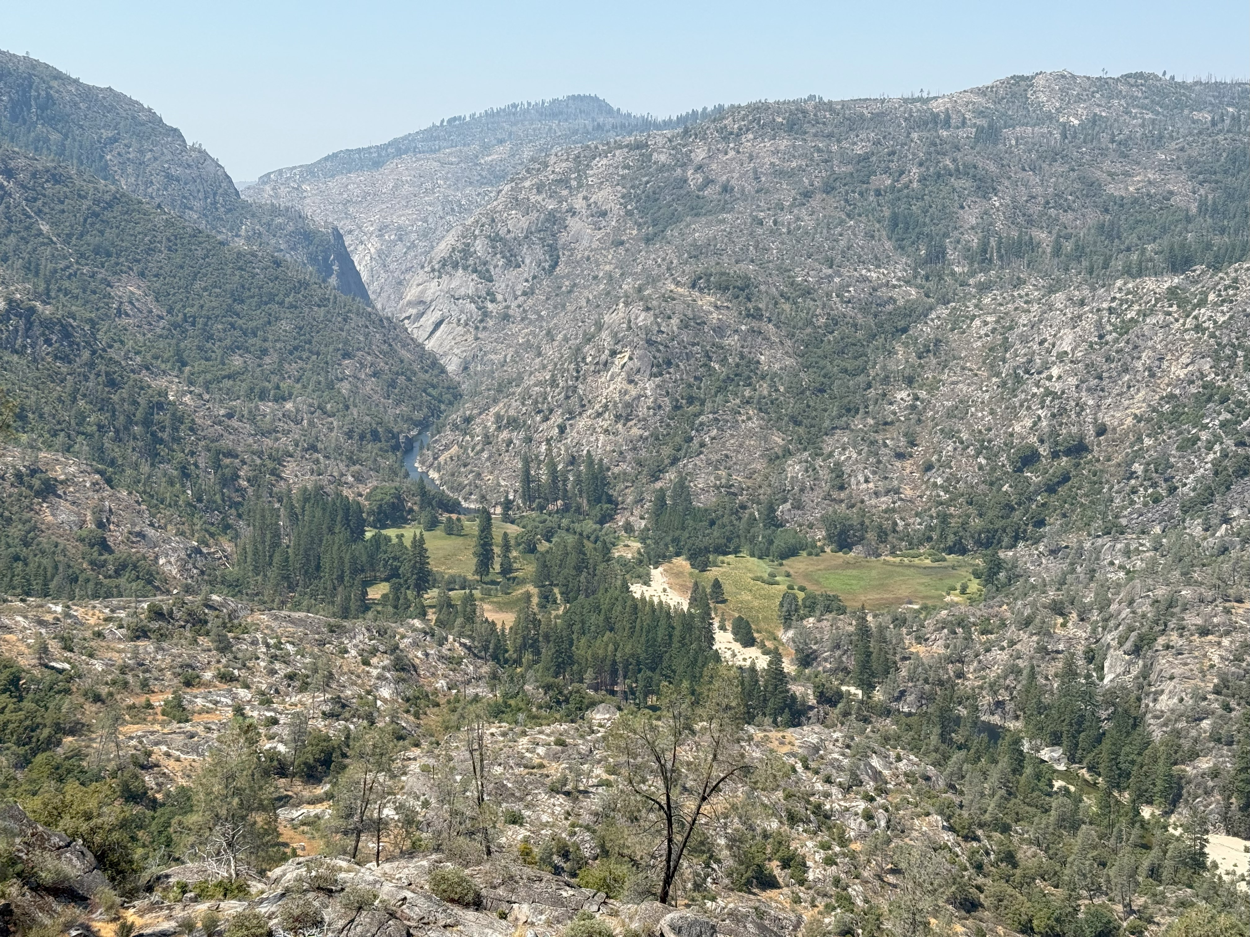
Poopenaut Valley Trailhead
~5 min drive
<p>This short, steep hike down to the Tuolumne River in Poopenaut Valley is a great spot for wildflowers in spring. Be aware that this is a steep hike on the return trip to the parking area. If you hike down, you must be able to hike back up! Parking is very limited.<br /> <br…
Yosemite Border
~4 min drive
Scenic 3.25-mile hike along Yosemite's border with moderate elevation gain.
Cherry Creek
~9 min drive
Scenic 1.88-mile creek-side hike with steady elevation gain.
Huckleberry Trail
~13 min drive
A demanding 46-mile backcountry trail for experienced hikers seeking extended wilderness adventure.
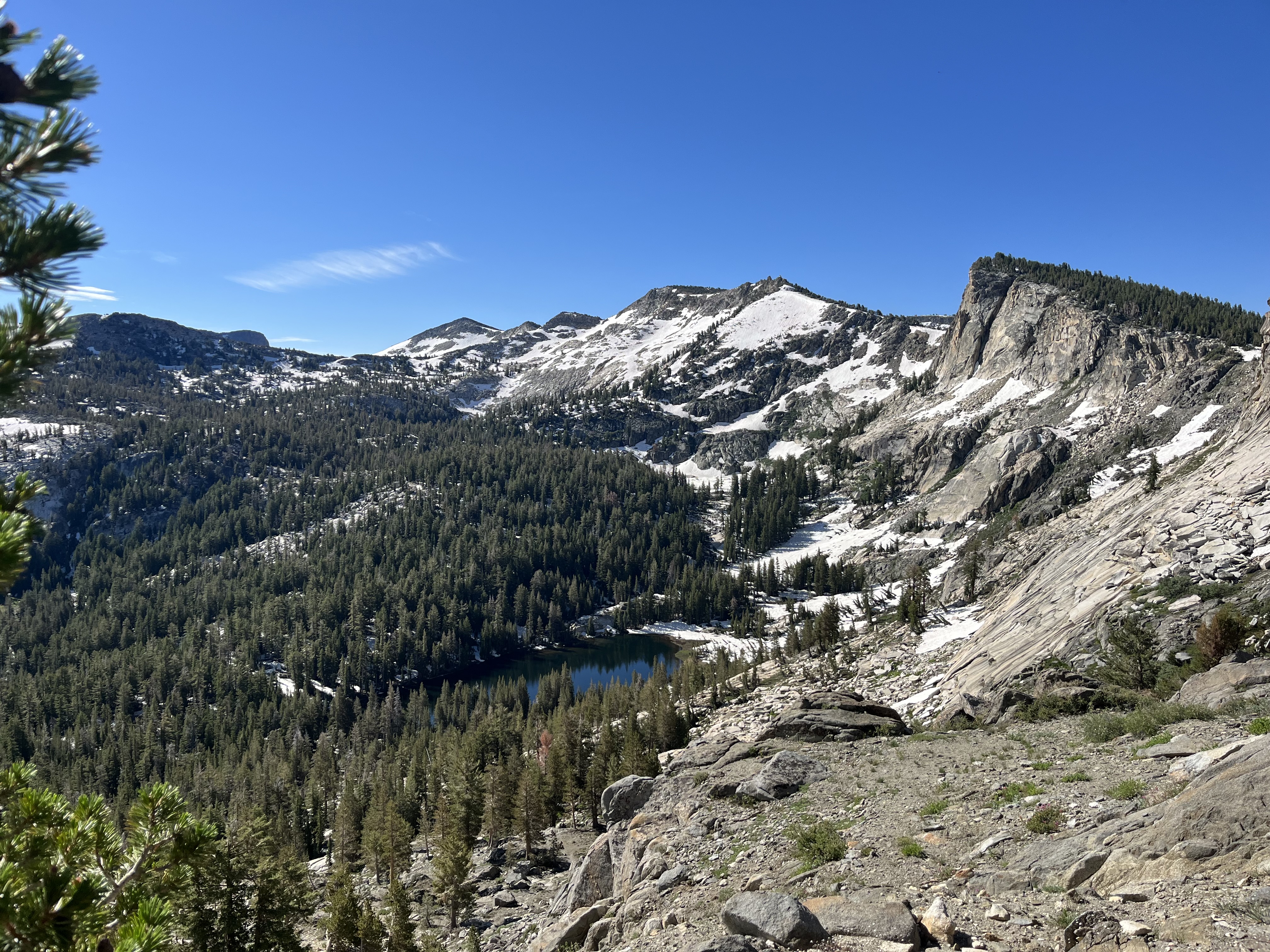
Yosemite Creek and Ten Lakes Trailhead
~26 min drive
<p>On the north side of Tioga Road, an unpaved parking lot sits next to the Ten Lakes trailhead. Directly across the street, on the south side of Tioga Road, there is a paved parking area as well as the Yosemite Creek trailhead.</p> <h2>Ten Lakes</h2> <p>To reach the lakes, fo…
Railroad, South Fork Tuolumne
~17 min drive
Historic railroad grade trail along South Fork Tuolumne with gentle grades and river views.
Trail 323248010602
~15 min drive
Steep 2-mile alpine climb with 3,362 ft elevation gain.
Tuolumne Canyon
~20 min drive
Moderate 10.45-mile canyon hike with 2,628 ft elevation gain in the Sierra foothills.
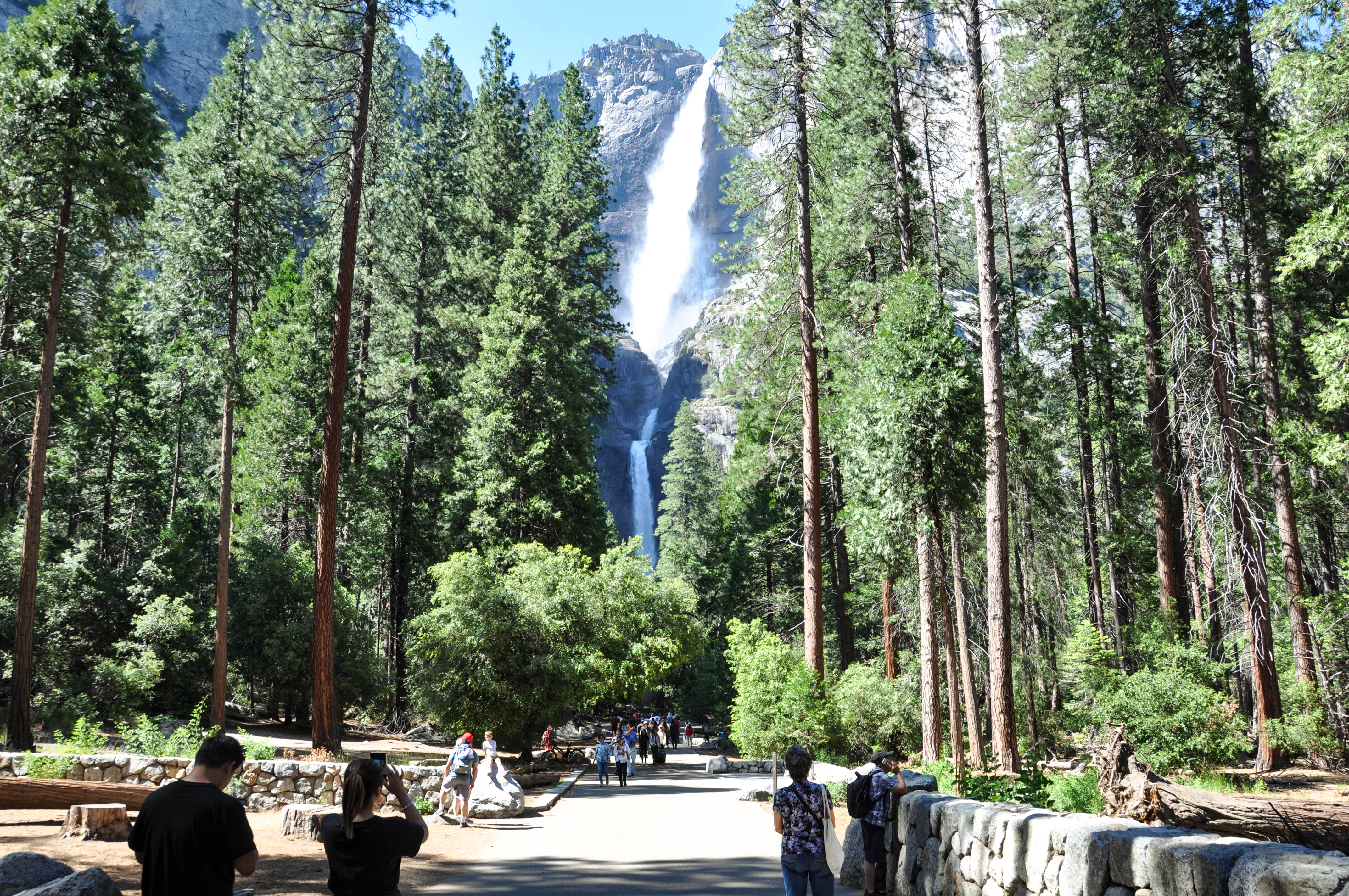
Lower Yosemite Fall Trailhead
~29 min drive
<p>This short, easy walk rewards visitors with spectacular views of both Upper and Lower Yosemite Falls. This paved loop trail offers different vantage points of Yosemite Falls and Yosemite Creek. Numerous exhibits along the trail discuss the natural and cultural history of th…
Golden Forest Interp. Trail
~24 min drive
Easy interpretive forest loop with educational signage and gentle terrain.