Loading trail…

Free — you'll pick up right here.
Watch this trail
Sign up to watch it — saving subscribes you to gate, closure and report changes.
California
0.5 mi
Distance
135 ft
Gain
We won't guess. Here is exactly what we do and don't know.
What we do know
Inside Lassen National Forest
3 managing-area boundaries mapped — agency alerts for them feed this page automatically.
Boundary data
What's missing
No access route mapped
We don't yet know which road reaches this trailhead, so we can't tell you if it's gated.
Nobody's filed a report here yet — be the first.
Why you'll love it
Magee Peak
AI-suggested draft · review before you go
No permit or access details on file for this trail — check with the local land manager before you go.
Magee Peak is a short and accessible summit hike offering quick elevation gain and panoramic views from its modest peak. This brief trail is perfect for hikers seeking a quick workout with minimal time commitment, featuring steep terrain that packs significant vertical challenge into less than half a mile. The exposed summit provides excellent vantage points of the surrounding California landscape.
Sunflower Flat
~17 min drive
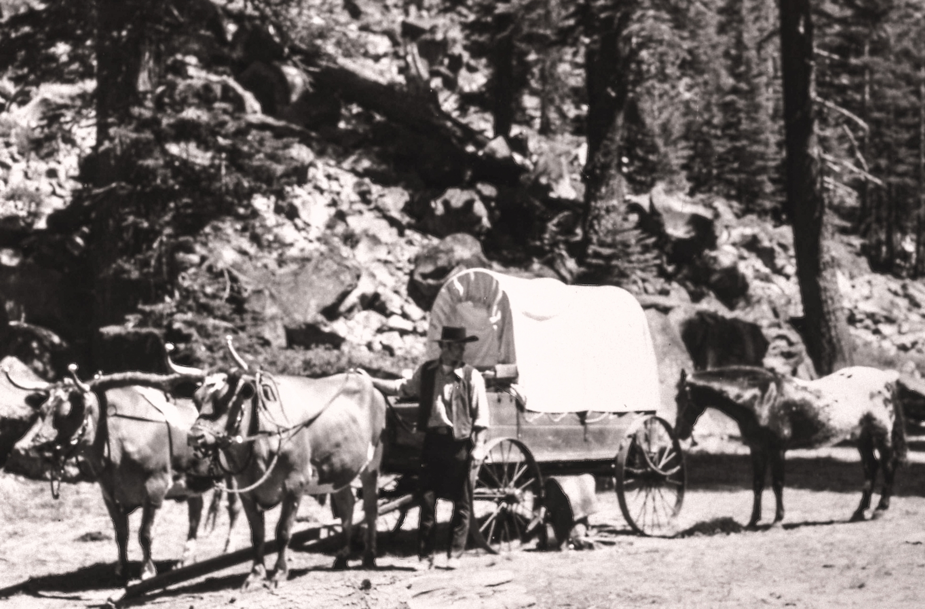
<p>A commemorative plaque marks the Nobles Emigrant Trail which was listed on the National Register of Historic Places in 1975. Twenty-four miles of the 300-mile-long wagon route skirt through the northern edge of the park. Most of the original route in the park remains intact…
Magee Lake
~5 min drive
Moderate 8-mile alpine lake hike with 2,155 ft elevation gain.
Spattercone Crest Trail
~16 min drive
Short volcanic landscape hike with spatter cone views.
Triangle-Lvnp Caribou
~40 min drive
Easy 3.5-mile trail with minimal elevation gain in Triangle-Lvnp area.
Reflection Lake
~18 min drive
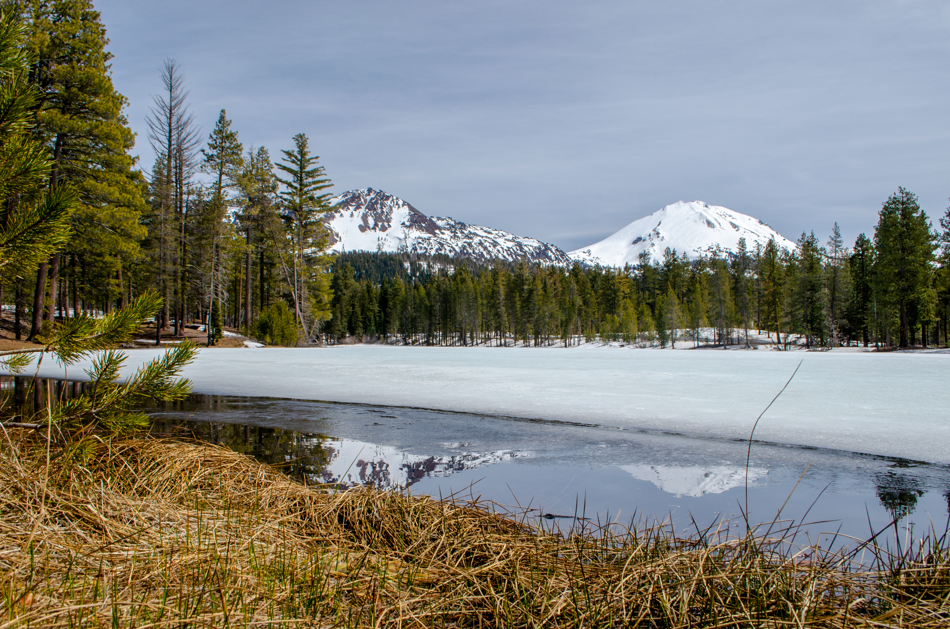
<p>Reflection Lake wasn't always named such. In the late 1800s, the lake was lower in level and more indicative of a pond and was aptly named, Mud Lake. To attract more people to the area, a channel was dug to divert water from Manzanita Creek into Mud Lake. Trout were planted…
Tamarack Magee Tie
~6 min drive
Easy 1.4-mile connector trail with minimal elevation gain.
Subway Cave Interpretive Trail
~18 min drive
Easy 1.1-mile walk through a volcanic lava tube cave with interpretive features.
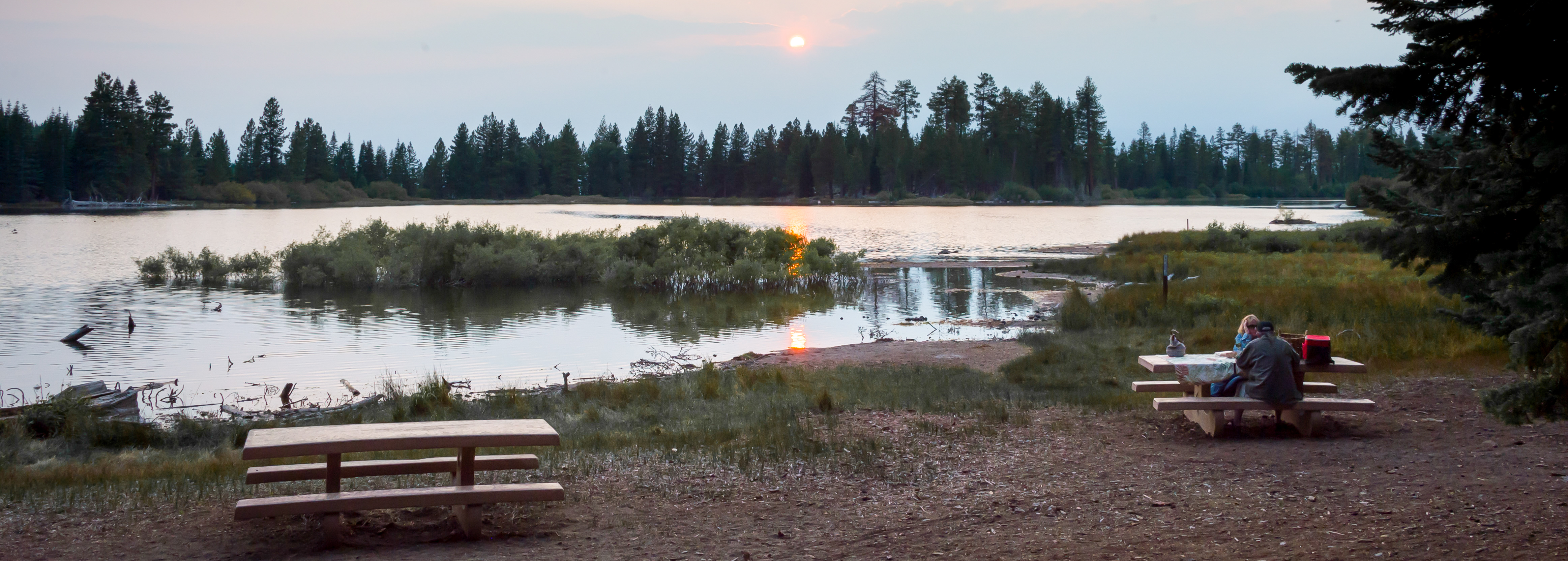
Manzanita Lake Day Use Area
~19 min drive
<p>The Manzanita Lake boat launch, trailhead, and picnic area are located on the southeast shore of Manzanita Lake. Get here by following the Manzanita Lake Campground Road off of Lassen Volcanic National Park Highway in the <a href="https://www.nps.gov/places/manzanita-lake-a…
Lake Eiler
~6 min drive
Easy alpine lake hike with minimal elevation gain near Lake Eiler.
West Triangle Lake Caribou
~40 min drive
Easy alpine lake hike with scenic mountain views and pristine waters.