Loading trail…

Free — you'll pick up right here.
Watch this trail
Sign up to watch it — saving subscribes you to gate, closure and report changes.
California
5.9 mi
Distance
634 ft
Gain
We won't guess. Here is exactly what we do and don't know.
What we do know
Inside Eldorado National Forest
2 managing-area boundaries mapped — agency alerts for them feed this page automatically.
Boundary data
What's missing
No access route mapped
We don't yet know which road reaches this trailhead, so we can't tell you if it's gated.
Nobody's filed a report here yet — be the first.
Why you'll love it
Little Silver
AI-suggested draft · review before you go
No permit or access details on file for this trail — check with the local land manager before you go.
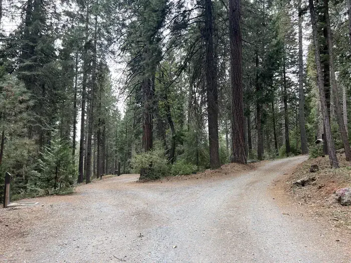
Little Silver is a moderate 5.87-mile trail offering a pleasant day hike through California terrain with nearly 650 feet of elevation gain. This out-and-back or loop route provides steady climbing with rewarding views and a good workout for intermediate hikers. The trail showcases typical California foothill or lower mountain scenery with varied terrain.
Sugarloaf
~3 min drive
Quick 2.5-mile climb with 623 ft gain near Sugarloaf, California.
Bald Mountain Canyon
~3 min drive
Scenic 4-mile canyon hike with 1,000 ft gain near Bald Mountain.
Mar Det
~5 min drive
Moderate 11.5-mile trail with 1,459 ft elevation gain in California.
Chaparral Loop
~5 min drive
Easy 1-mile loop through chaparral scrubland with minimal elevation gain.
Dru Barner
~5 min drive
Easy 3.7-mile trail with 390 ft gain, perfect for a quick day hike.
Roanoak
~10 min drive
Moderate 6.4-mile hike with 2,271 ft gain near Roanoak, California.
Traverse Creek Loop
~5 min drive
Easy creek-side loop perfect for a quick family hike.
Kelliher
~9 min drive
Moderate 4.66-mile trail with 1,406 ft elevation gain near Kelliher.
Volcanoville Tie
~10 min drive
Moderate 6.2-mile volcanic foothills trail with 1,090 ft elevation gain.
Otter Creek
~7 min drive
Accessible creek-side hike with moderate elevation gain and riparian forest scenery.