Loading trail…

Free — you'll pick up right here.
Watch this trail
Sign up to watch it — saving subscribes you to gate, closure and report changes.
California
5.5 mi
Distance
1,699 ft
Gain
Agency alerts are in effect for this area; weather is good
2 factors · 2 sources
Newest 8 h ago · oldest 15 d
caution: Agency alerts
9 active alerts in Angeles National Forest; most severe: Planning to Camp? (Stay Limits/Dispersed Camping Restrictions) until Dec. 15, 2026
USFS15 d ago
clear: Weather
Clouds, high 78°F / low 69°F, 0% precip — 97/100 for hike
OpenWeather8 h ago
Been out here in the last few days? One report keeps this current for everyone.
Why you'll love it
Hoyt Mountain Trail
AI-suggested draft · review before you go
No permit or access details on file for this trail — check with the local land manager before you go.
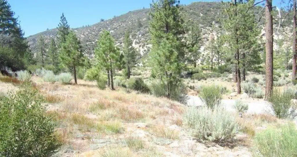
Hoyt Mountain Trail is a moderate 5.47-mile round-trip hike featuring nearly 1,700 feet of elevation gain through California's varied terrain. This trail offers a rewarding climb with scenic views and a good workout for intermediate hikers looking to gain elevation efficiently.
Hoyt Mt. to Pines Picnic Trail
~0 min drive
Easy 1.3-mile connector trail through forest to scenic picnic area.
World of Chaparral
~0 min drive
Scenic chaparral exploration with steady elevation gain and coastal sage views.
Trees for Tomorrow
~1 min drive
Short forest walk with steady elevation gain and accessible tree-focused scenery.
Colby Canyon
~3 min drive
Moderate 8.79-mile canyon hike with 2,742 ft elevation gain.
Burton
~3 min drive
Moderate 4-mile climb with 1,100 ft gain and scenic views.
Sunset Ridge Lower
~7 min drive
Short ridge trail with steady elevation gain and scenic views.
Grizzly Flats Trail
~6 min drive
Moderate 7.5-mile Sierra foothills hike with 1,681 ft elevation gain.
Strawberry Peak
~5 min drive
Moderate 4.3-mile climb to scenic San Gabriel Mountains summit.
Sunset Ridge
~7 min drive
Easy 0.2-mile walk with minimal elevation gain.
Condor Peak Trail
~6 min drive
Expert 17.2-mile peak climb with 4,915 ft gain and expansive summit views.