Loading trail…

Free — you'll pick up right here.
Watch this trail
Sign up to watch it — saving subscribes you to gate, closure and report changes.
California
2.5 mi
Distance
409 ft
Gain
We won't guess. Here is exactly what we do and don't know.
What we do know
Inside Six Rivers National Forest
2 managing-area boundaries mapped — agency alerts for them feed this page automatically.
Boundary data
What's missing
No access route mapped
We don't yet know which road reaches this trailhead, so we can't tell you if it's gated.
Nobody's filed a report here yet — be the first.
Why you'll love it
Gunbarrel
AI-suggested draft · review before you go
Gunbarrel is a short, accessible trail offering a quick escape into California's backcountry with modest elevation gain. This 2.5-mile route features steady climbing through varied terrain, making it ideal for hikers seeking a brisk workout without committing to a full day on the trail. The trail's compact distance and straightforward profile make it popular for those looking to build endurance or enjoy a morning hike.
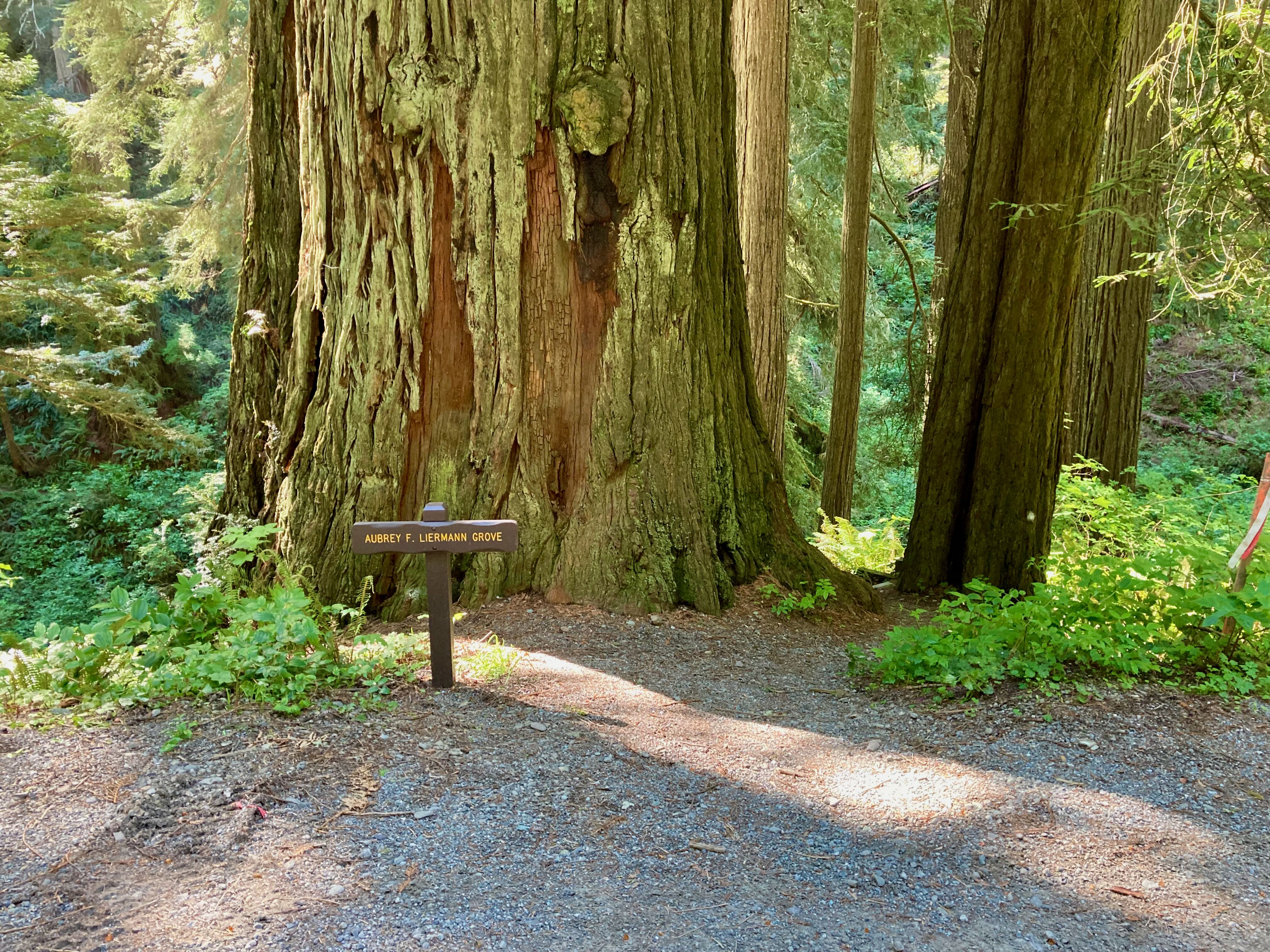
Coastal Trail: DeMartin
~29 min drive
<strong>Location</strong>: Del Norte Coast Redwoods State Park and Redwood National Park. <br /> <strong>Trailhead</strong>: Marked north trailhead is off Hwy 101 at mile marker 15.6. Look for signs marked CT. Marked south trailhead is at Hwy 101 mile marker 12.8. If you plan…
Summit Valley
~4 min drive
Steep 2.24-mile alpine climb with 1,634 ft elevation gain.
Old South Kelsey
~11 min drive
Strenuous 15.8-mile backcountry trail with 2,396 ft elevation gain.
Devil's Punchbowl
~21 min drive
Steep badlands hike with dramatic geological formations and expansive desert views.
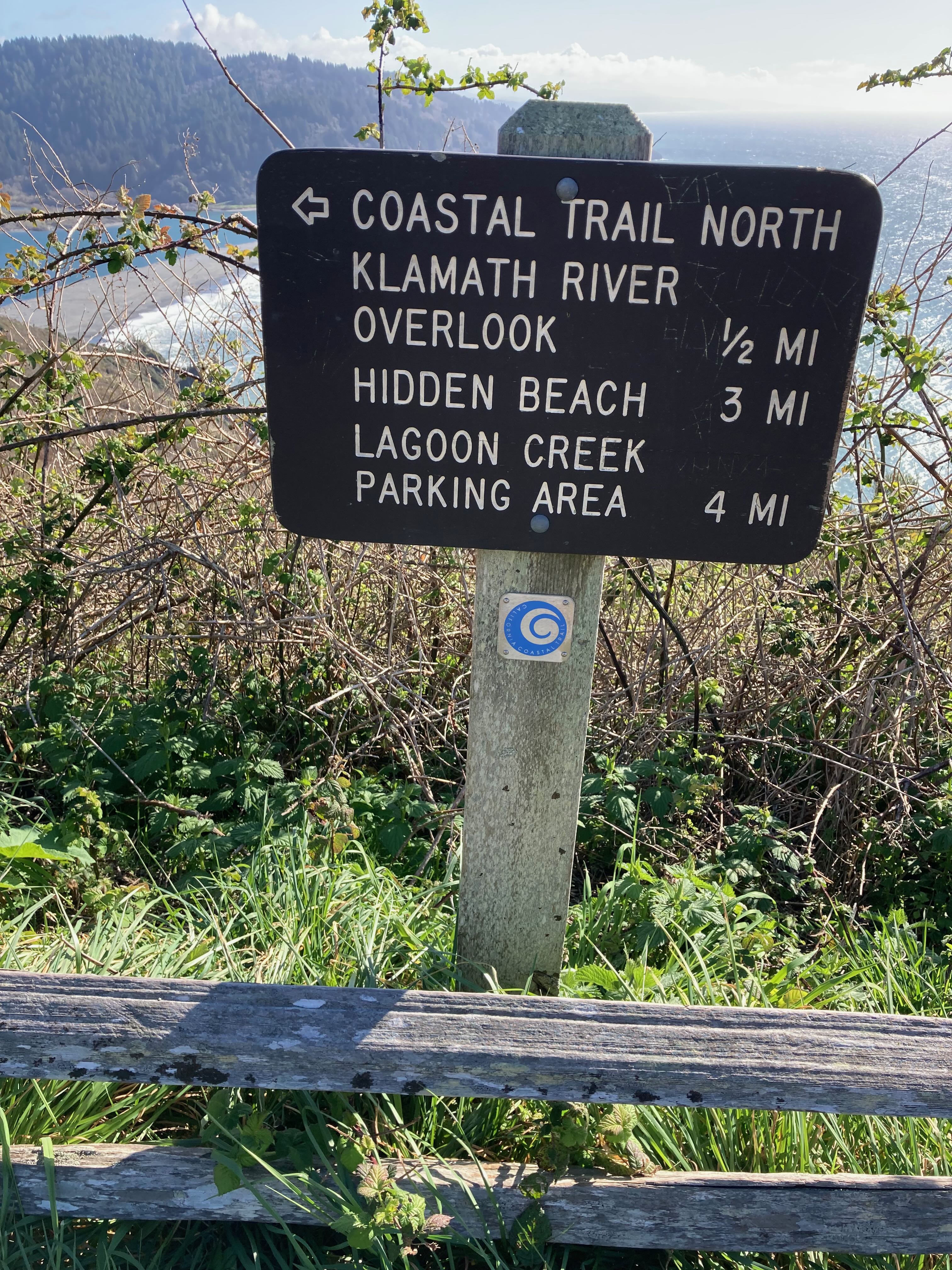
Coastal Trail: Klamath
~29 min drive
<strong>Location</strong>: Redwood National Park<br /> <strong>Trailhead</strong>: Marked north trailhead begins at Wilson Creek Picnic Area off Hwy 101. Marked south trailhead begins at the Klamath River Overlook on Requa Road.<br /> <strong>Mileage</strong>: 5.5<br /> <stron…
Mc Clendon Ford
~7 min drive
Steep 1.95-mile foothill climb with 879 ft elevation gain.
West Fork Clear Creek
~11 min drive
Scenic 14.8-mile creek drainage hike with gentle elevation gain.
East Fork Blue Creek
~23 min drive
Moderate creek-side hike with 696 ft gain near Blue Creek drainage.
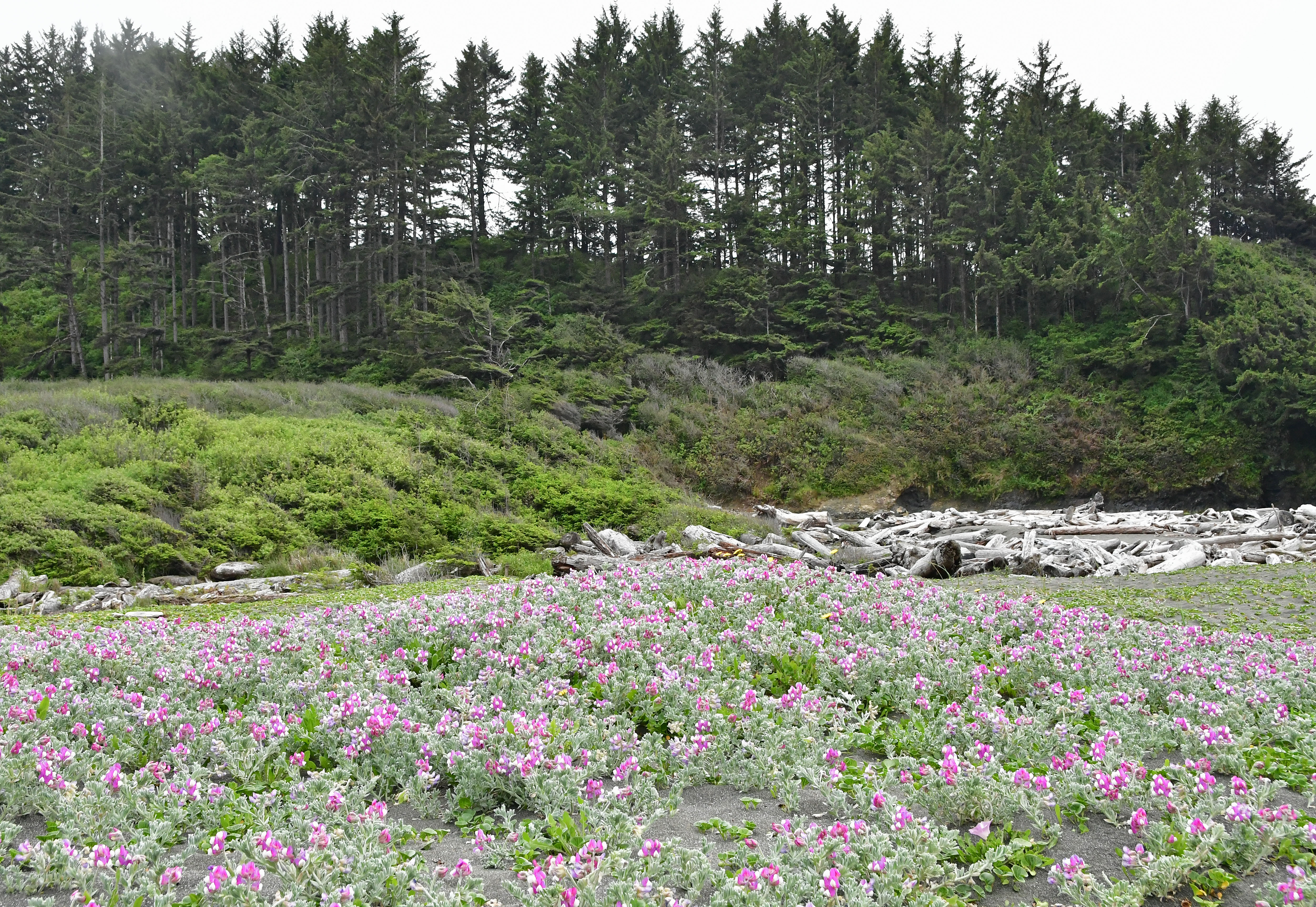
Yurok Loop Trail
~29 min drive
Take a break from driving HWY 101, and take a short walk along the coast and see crashing waves, piles of driftwood, and gaze across the parks' protected marine areas. Keep you eyes peeled for offshore wildlife. <br /> <br /> This trail is located at the west end of <a href="h…
Bear Wallow
~7 min drive
Easy 0.56-mile woodland walk near Bear Wallow.