Loading trail…

Free — you'll pick up right here.
Watch this trail
Sign up to watch it — saving subscribes you to gate, closure and report changes.
California
5.8 mi
Distance
1,154 ft
Gain
We won't guess. Here is exactly what we do and don't know.
What we do know
Inside Los Padres National Forest
2 managing-area boundaries mapped — agency alerts for them feed this page automatically.
Boundary data
What's missing
No access route mapped
We don't yet know which road reaches this trailhead, so we can't tell you if it's gated.
Nobody's filed a report here yet — be the first.
Why you'll love it
Gibraltar
AI-suggested draft · review before you go
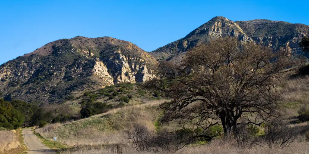
Gibraltar Trail is a moderate 5.76-mile hike gaining 1,154 feet of elevation, offering steady climbing through chaparral and oak woodland typical of the Santa Ynez Mountains. This popular Santa Barbara-area trail rewards hikers with expansive views of the surrounding ridges and valleys as elevation increases. The well-maintained path provides a solid cardiovascular workout with consistent grade and scenic vistas throughout.
Matias Potrero
~4 min drive
Moderate 9.43-mile backcountry hike with 1,427 ft elevation gain.
Indian Canyon
~7 min drive
Scenic 4.5-mile canyon hike with 575 ft elevation gain near Indian Canyon.
Caliente
~15 min drive
Short, easy hike near Caliente with minimal elevation gain.
Snyder
~8 min drive
Moderate 7-mile hike with 2,369 ft elevation gain in Snyder area.
Rattlesnake
~9 min drive
Steep 4.8-mile climb with 2,000 ft gain in Rattlesnake area.
Mission Pine
~23 min drive
Steep 1-mile climb through pine forest with 500+ ft elevation gain.
Jesusita
~10 min drive
Moderate 8.6-mile Santa Barbara foothills hike with 1,894 ft elevation gain.
Madulce Peak
~22 min drive
Steep 4.11-mile summit hike with 1,700 ft elevation gain.
Tequepis
~24 min drive
Easy 1.1-mile hike with 326 ft elevation gain near Tequepis.
Mono-Alamar
~10 min drive
Challenging 15-mile high desert traverse with 1,762 ft elevation gain.