Loading trail…

Free — you'll pick up right here.
Watch this trail
Sign up to watch it — saving subscribes you to gate, closure and report changes.
California
9.4 mi
Distance
1,348 ft
Gain
We won't guess. Here is exactly what we do and don't know.
What we do know
Inside Klamath National Forest
2 managing-area boundaries mapped — agency alerts for them feed this page automatically.
Boundary data
What's missing
No access route mapped
We don't yet know which road reaches this trailhead, so we can't tell you if it's gated.
Nobody's filed a report here yet — be the first.
Why you'll love it
Davis Road
AI-suggested draft · review before you go
No permit or access details on file for this trail — check with the local land manager before you go.
Davis Road is a moderate 9.4-mile trail offering a solid day hike through California terrain with nearly 1,350 feet of elevation gain. This route provides a good balance of distance and climbing, making it ideal for hikers looking to build endurance without extreme technical demands. The trail traverses typical California foothill or mountain landscape with steady elevation change throughout.
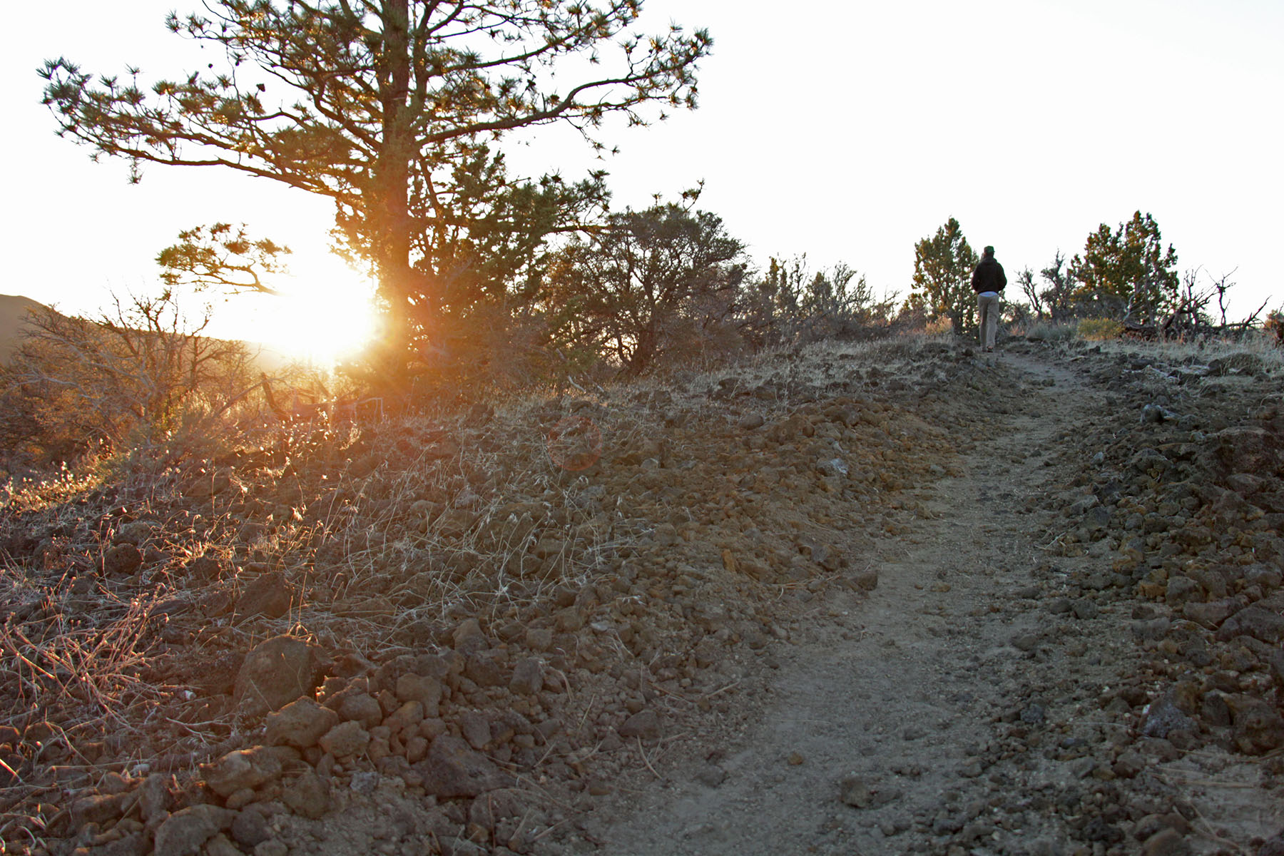
Big Nasty Trail Start, Tulelake, Ca
~18 min drive
<p>A loop trail, Big Nasty is 2 miles (3.2 km) long. Named after a brush-covered rough lava area just to the north— “it is big and it is nasty!” From the Mammoth Crater/Hidden Valley pullout, the trail starts along the crater rim. Turn left from the Mammoth Crater Trail.<br />…
Lower Rr Grade
~0 min drive
24-mile backcountry trail with gentle grades and extended distance.
Cinder Butte
~10 min drive
Short volcanic summit hike with panoramic views and moderate climbing.
Ml Rd 49
~11 min drive
Steady 4.6-mile foothill climb with moderate elevation gain.
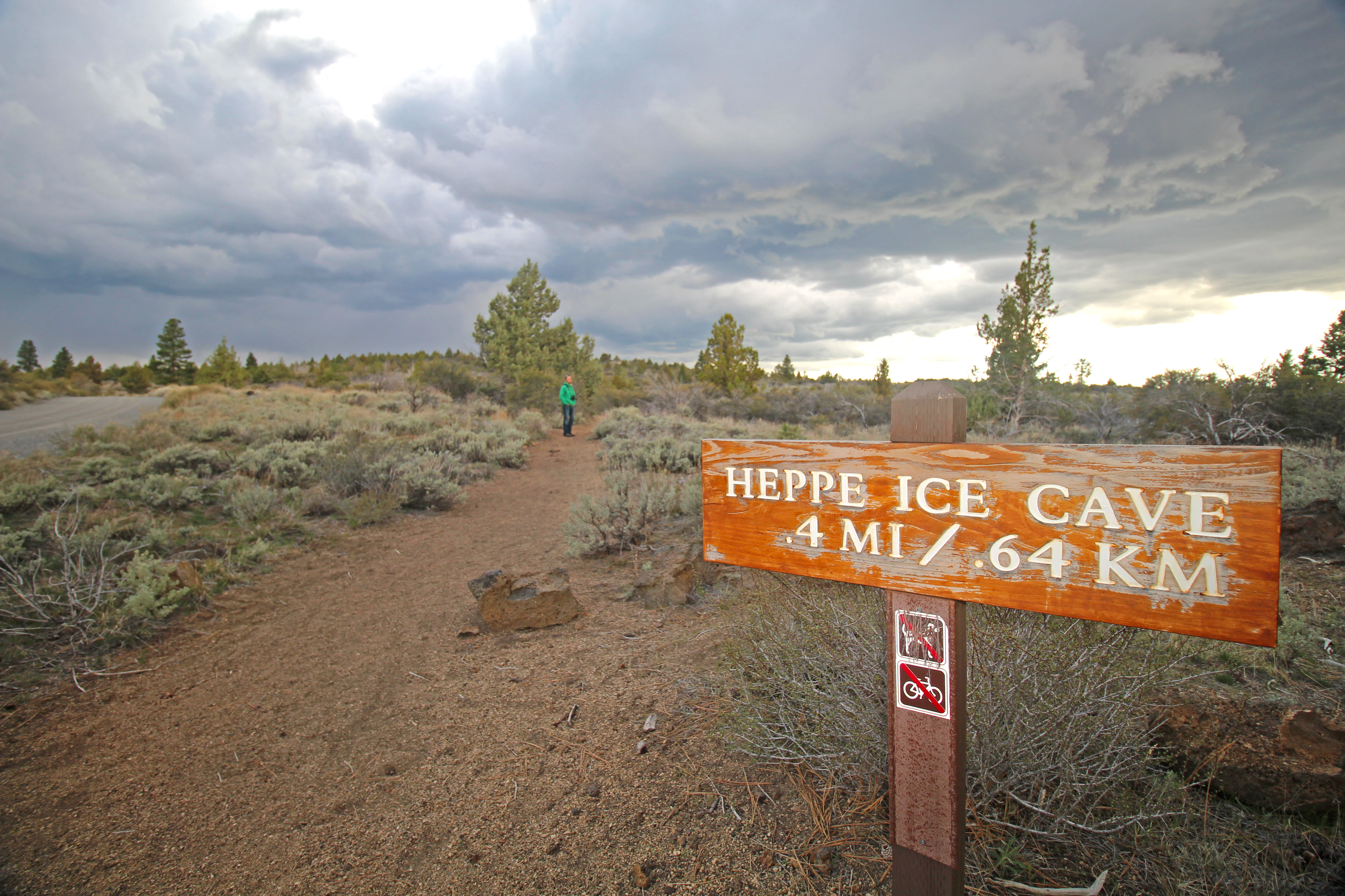
Heppe Cave Trail Start, Tulelake, CA
~19 min drive
<p><strong>Heppe Cave Trail</strong> can be found on the road to Mammoth Crater. This 0.4-mile (0.6 km) trail begins under tall Ponderosa pines. As you reach the end of the trail, you will view an enormous collapse. Follow the trail into Heppe Ice Cave that has a large opening…
Little Mt. Hoffman
~7 min drive
9-mile moderate hike with 794 ft gain near Little Mt. Hoffman.
Crystal Springs Trail
~12 min drive
Easy 2-mile trail with 372 ft gain leading to natural springs.
Baird Rr Grade Tie
~13 min drive
Easy 3.2-mile walk along a historic railroad grade with minimal elevation gain.
Whitney Butte Trail Start, Tulelake, Ca
~20 min drive
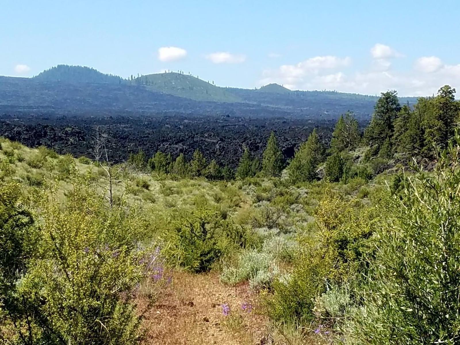
<p>From Merrill Cave parking area to the west boundary of the monument, this trail crosses the wilderness in an east-west direction, curving around Whitney Butte. Enjoy an impressive view of Mount Shasta and the Callahan Lava Flow. This trail is 3.3 miles (5.3 km) one way.<br…
Tamarack Lake
~9 min drive
Moderate 6-mile alpine lake hike with 357 ft elevation gain.