Loading trail…

Cottonwood Spring
Free — you'll pick up right here.
Watch this trail
Sign up to watch it — saving subscribes you to gate, closure and report changes.
California
We won't guess. Here is exactly what we do and don't know.
What we do know
Inside Joshua Tree National Park
National Park unit boundary is mapped — agency alerts for it feed this page automatically.
Boundary data
What's missing
No access route mapped
We don't yet know which road reaches this trailhead, so we can't tell you if it's gated.
Nobody's filed a report here yet — be the first.
Why you'll love it
Cottonwood Spring
AI-suggested draft · review before you go
No elevation data on file for this trail.
No permit or access details on file for this trail — check with the local land manager before you go.
<p>Cottonwood Spring is a lush desert oasis located in the southern portion of the Joshua Tree National Park near the Cottonwood Visitor Center off Cottonwood Spring Road. The spring is a short walk down a dirt path from the parking area, providing an opportunity to see a wide range of plant and wildlife. This trailhead also provides access to longer hikes on the Mastodon Peak Loop and Lost Palms Oasis Trail. The Cottonwood Spring Wilderness Backpacking Board is located at the trailhead for backpackers to self register for overnight backpacking trips in the area.</p>
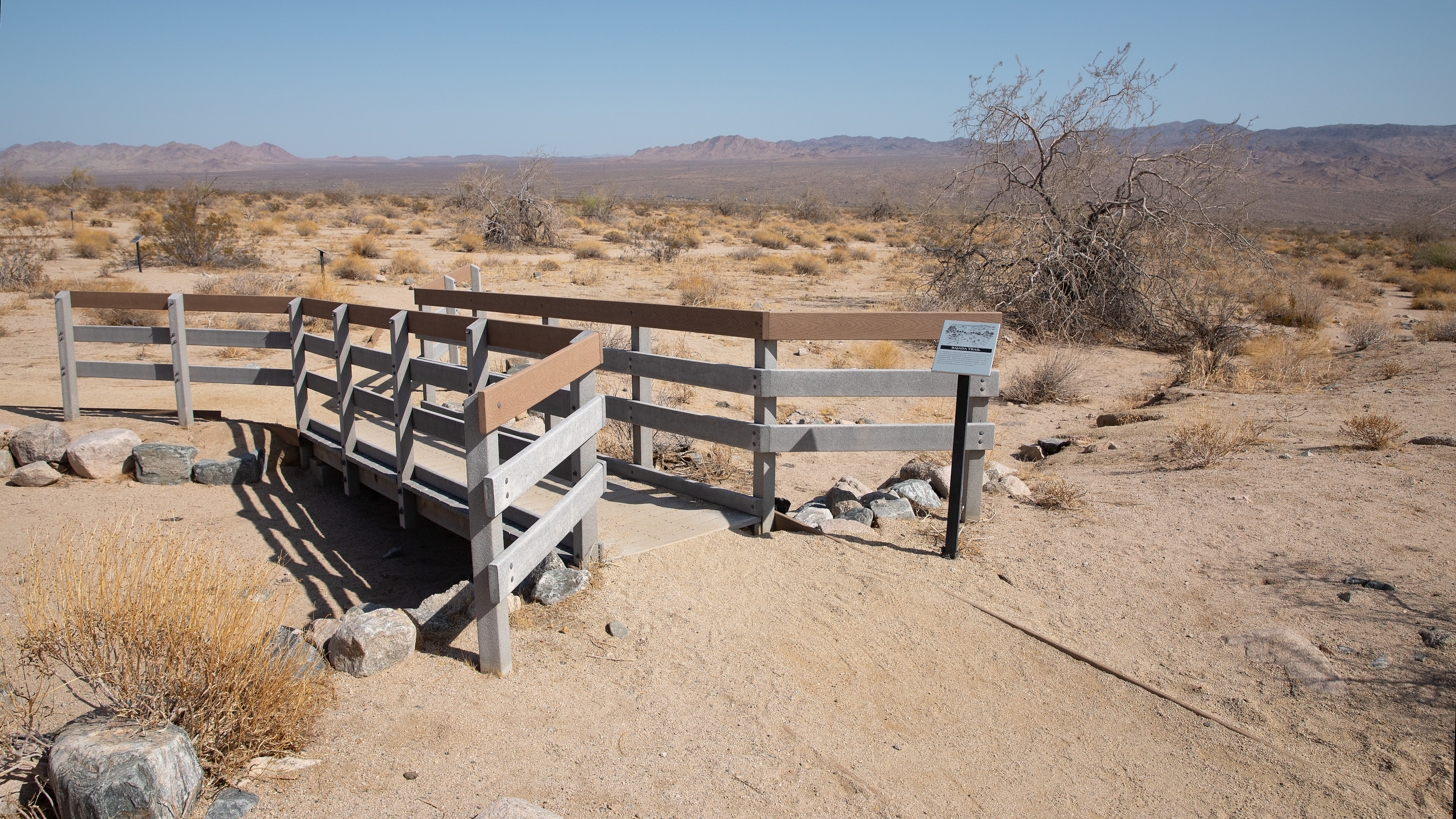
Bajada Trailhead
~7 min drive
<p>The Bajada Nature Trail is a short, flat, quarter-mile nature trail that meanders through common vegetation found in the Colorado Desert. Along the trail are interpretive signs highlighting different plants and their adaptations and uses. The trail is located near the south…
Cactus Springs
~58 min drive
Easy desert hike through cactus-studded landscape with natural springs.
Pinyon
~1h 10m drive
10.6-mile moderate desert trail through pinyon-juniper woodland with steady elevation gain.
Wildflowers (Bajada Nature Trail)
~7 min drive
The Bajada Nature Trail is a short, flat, quarter-mile nature trail that meanders through common vegetation found in the Colorado Desert. Along the trail are interpretive signs highlighting different plants and their adaptations and uses. The trail is located near the southern…
Sawmill
~1h 6m drive
Moderate 5-mile climb with 1,816 ft gain through forest and chaparral.
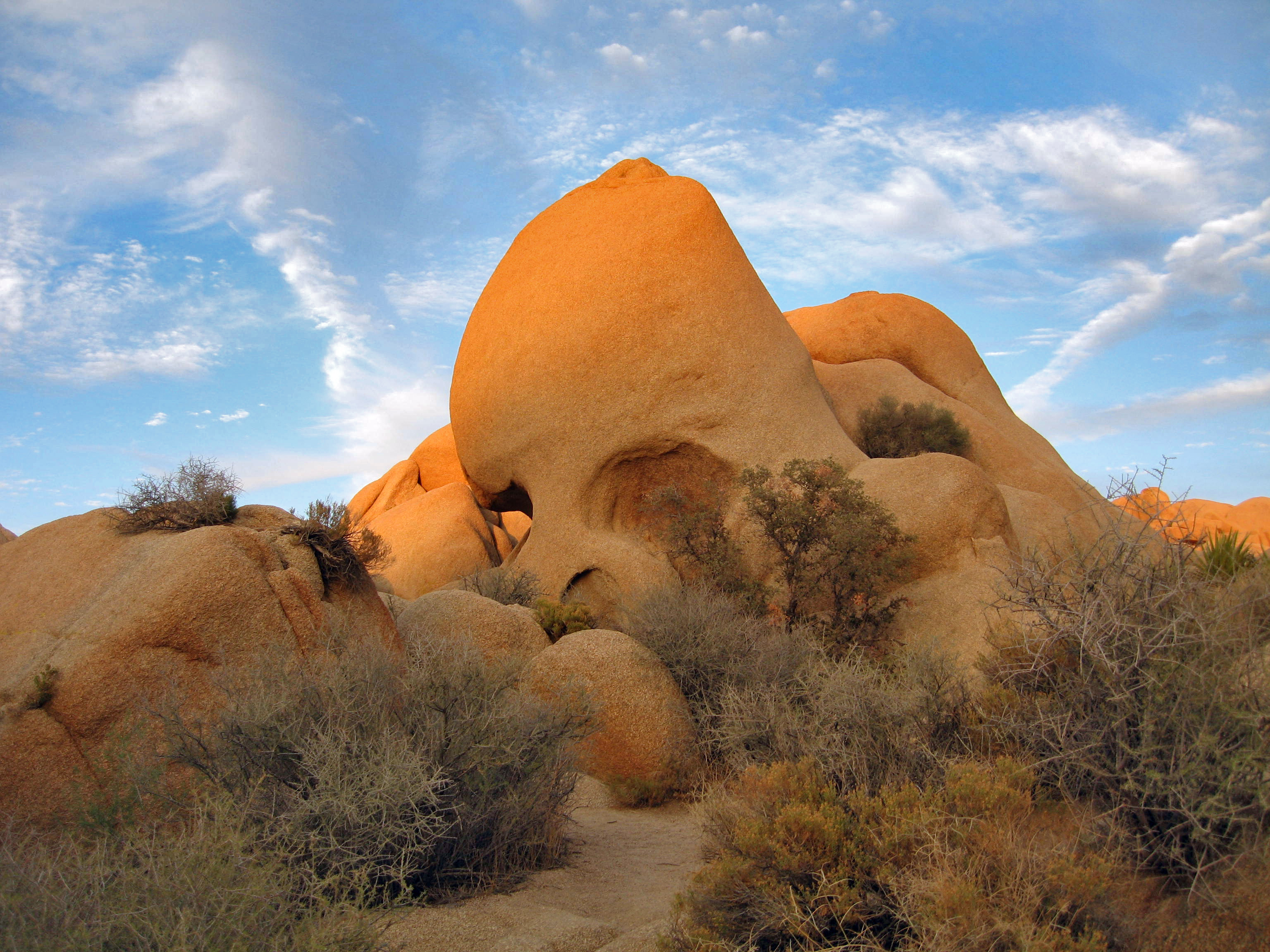
Geology (Skull Rock)
~39 min drive
Skull Rock is a popular destination along Park Boulevard just east of Jumbo Rocks Campground. Formed over many millennia, water drops have slowly eroded two large holes into the rock to make the rock resemble a skull. Skull Rock can be reached by the Skull Rock Nature Trail ju…
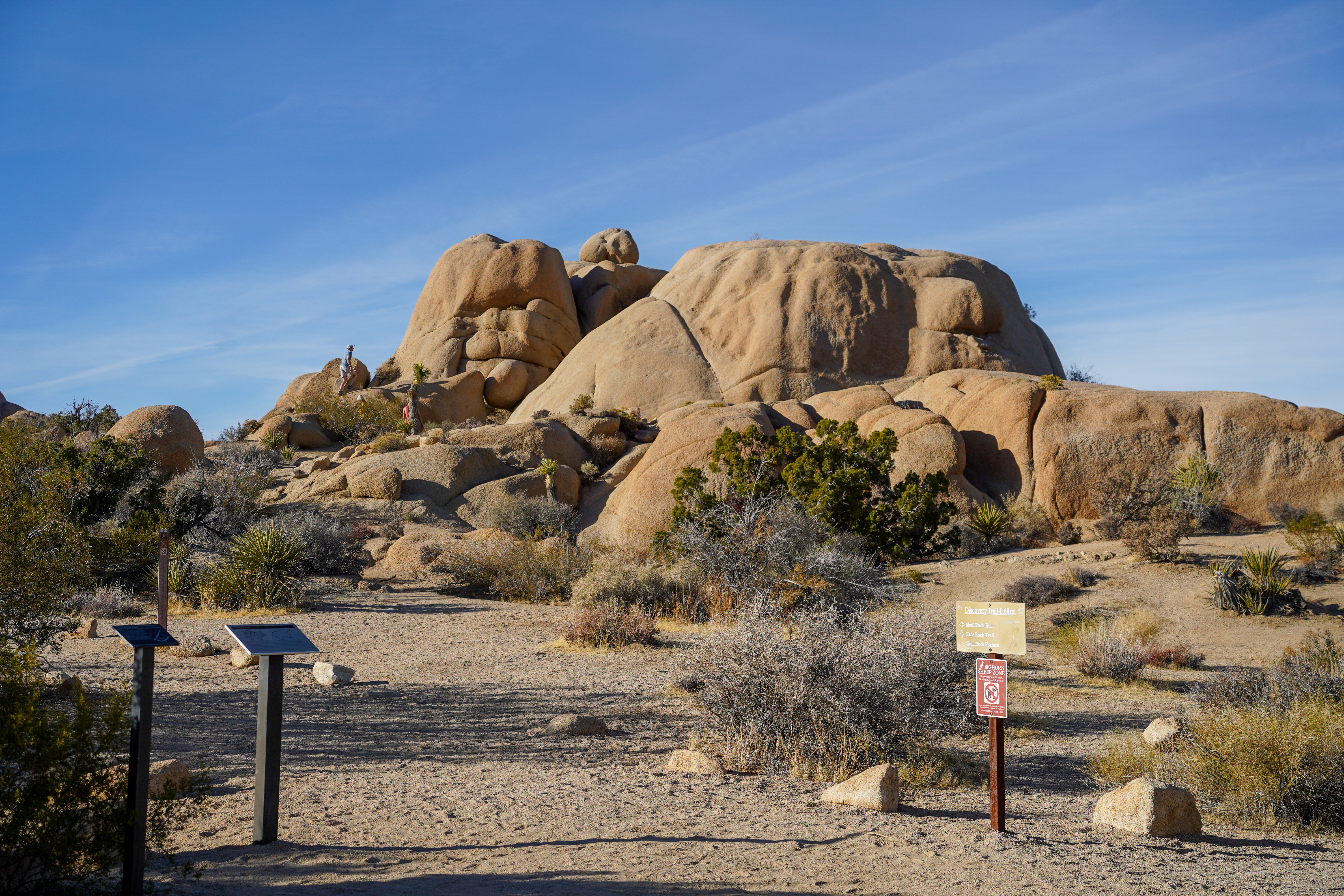
Discovery Trailhead
~39 min drive
<p paraeid="{a6af408c-b51b-47d4-92a5-8619324a9b92}{204}" paraid="862142058">The Discovery Trail is a 0.7-mile (1.1km) loop hike with 70ft (21.3m) of elevation gain and diverse views of the jumbo rocks area. Hike this trail through sandy washes, boulder piles, and unique rock f…
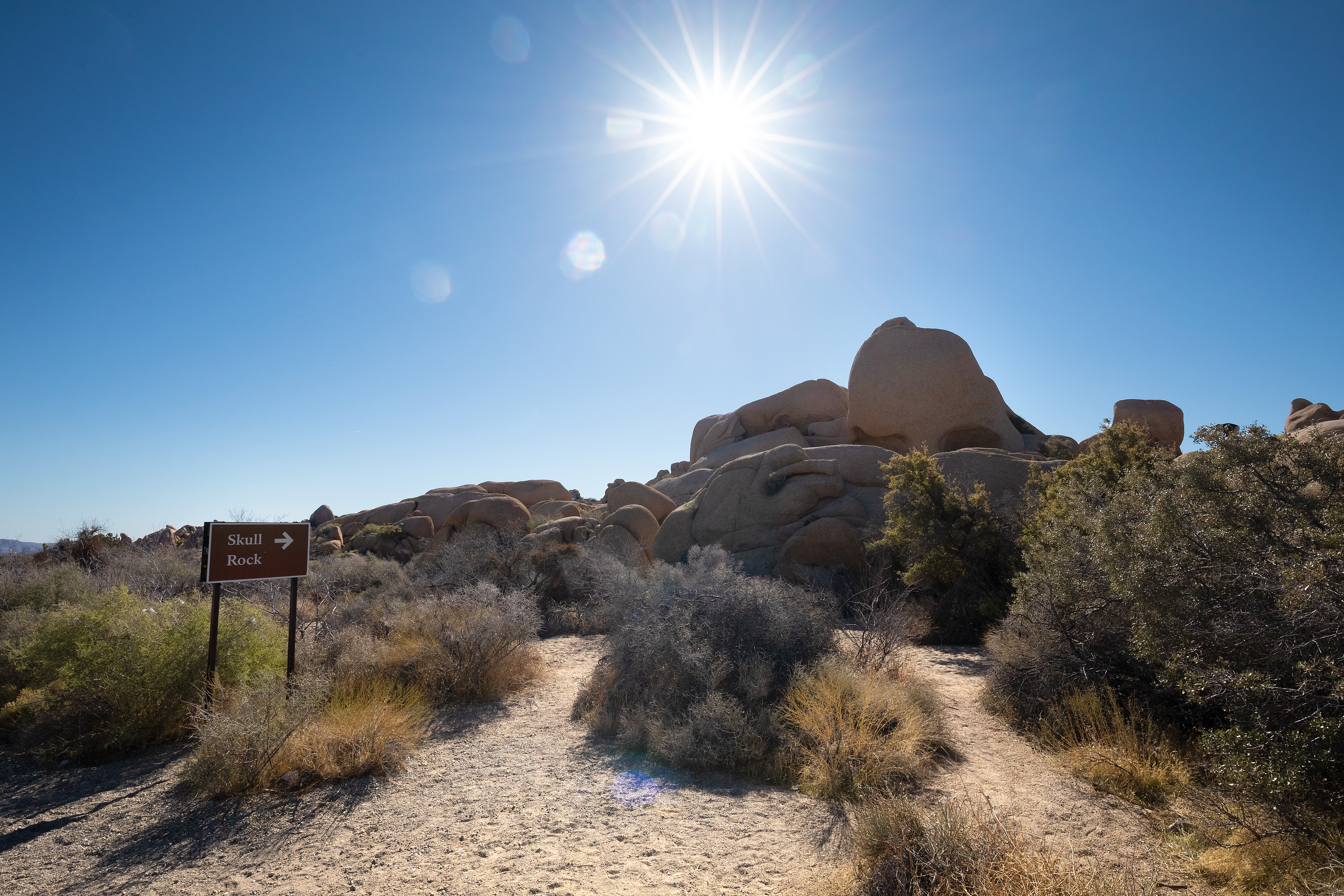
Skull Rock and Discovery Trail Trailheads
~39 min drive
Located along Park Boulevard between Jumbo Rocks and Live Oak, these trailheads provide access to the Skull Rock Nature Trail and the Discovery Trail. The Skull Rock Nature Trail is a 1.7 mile loop that can be started from trailheads on either side of the road. The north side…
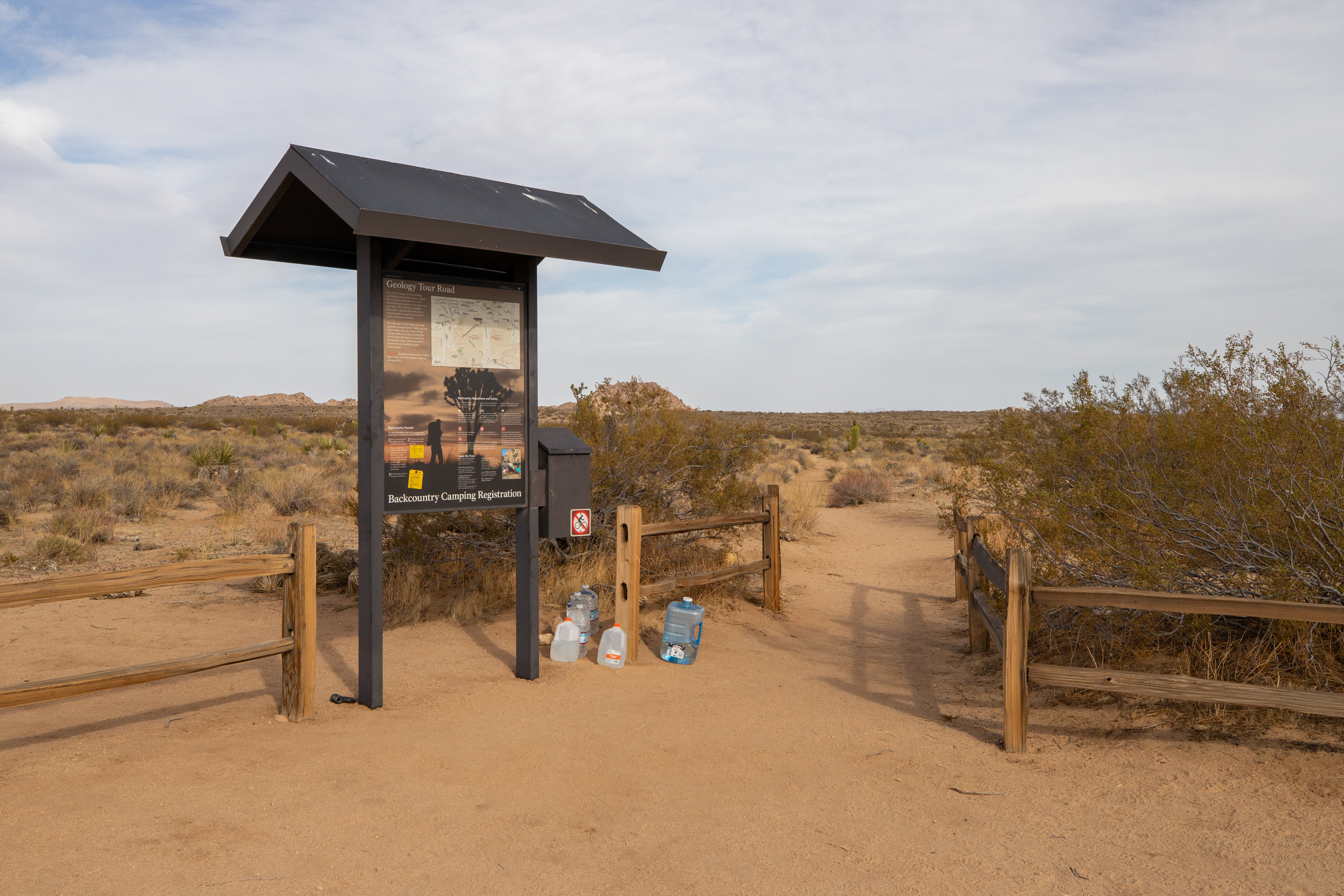
California Riding and Hiking Trail at Geology Tour Road
~40 min drive
<p>Take a hike east or west from here on the California Riding and Hiking Trail. Carry water with you. The California Riding and Hiking Trail is 37 miles total, but smaller sections are popular day-hikes. This trailhead is in the middle of the California Riding and Hiking Trai…
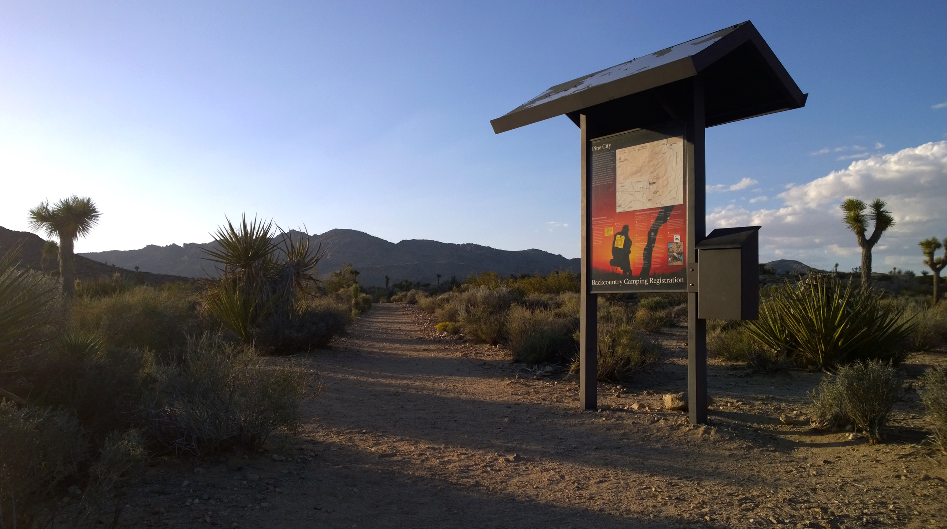
Lucky Boy Loop Trailhead
~43 min drive
<p paraeid="{52b92e0a-0a54-4723-a658-5668a4beb5b9}{82}" paraid="1852801838">Lucky Boy Loop is a 3.25-mile hike with 555 ft of elevation gain. This loop leads hikers through diverse scenery of desert vegetation, rock formations, vista points, and the remains of Elton Mine. Look…