Loading trail…

Free — you'll pick up right here.
Watch this trail
Sign up to watch it — saving subscribes you to gate, closure and report changes.
California
3.6 mi
Distance
2,184 ft
Gain
We won't guess. Here is exactly what we do and don't know.
What we do know
Inside Angeles National Forest
2 managing-area boundaries mapped — agency alerts for them feed this page automatically.
Boundary data
What's missing
No access route mapped
We don't yet know which road reaches this trailhead, so we can't tell you if it's gated.
Nobody's filed a report here yet — be the first.
Why you'll love it
Acorn
AI-suggested draft · review before you go
No permit or access details on file for this trail — check with the local land manager before you go.
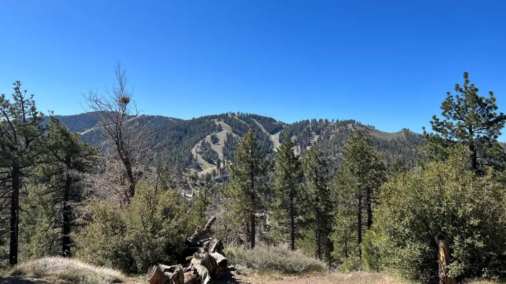
The Acorn Trail is a moderately challenging hike featuring significant elevation gain through oak-dotted terrain typical of California's foothills. This 3.6-mile route climbs over 2,100 feet, rewarding hikers with expansive views and the natural beauty of the region's oak woodland ecosystem. The steady ascent makes it an excellent choice for hikers building endurance and enjoying California's diverse landscapes.
North Devils Backbone
~2 min drive
Steep ridgeline climb with 3,395 ft gain; challenging day hike for experienced hikers.
Prairie Fork
~5 min drive
Easy 4.9-mile grassland trail through California foothills with minimal elevation gain.
Jackson Lake Interpretive
~10 min drive
Easy lakeside loop with interpretive signage and scenic views.
Fish Fork
~3 min drive
Challenging 9.7-mile alpine climb with 3,080 ft elevation gain.
Blue Ridge
~6 min drive
Steep 4-mile ridge climb with 2,048 ft gain and panoramic views.
Jackson Flat Geological
~10 min drive
Easy geological loop through Jackson Flat with scenic rock formations.
Dawson Peak
~5 min drive
Strenuous 8.62-mile Sierra climb with 3,549 ft elevation gain.
Baldy Bowl Trail
~8 min drive
Steep 3-mile climb with 2,275 ft gain in the San Gabriel Mountains.
Telegraph Peak Trail
~11 min drive
Quick, steep summit climb with rewarding panoramic views.
Three T's
~10 min drive
Moderate 6.25-mile loop with 1,519 ft gain and scenic ridge views.