Loading trail…

Free — you'll pick up right here.
Watch this trail
Sign up to watch it — saving subscribes you to gate, closure and report changes.
Arizona
1.6 mi
Distance
280 ft
Gain
41 min
Time
An agency closure order is in effect for this area; weather is good
2 factors · 2 sources
Newest 14 h ago · oldest 4 d
problem: Agency alerts
14 active alerts in Santa Catalina Ranger District; most severe: Marshall Gulch Closure Order
USFS4 d ago
clear: Weather
Clouds, high 95°F / low 85°F, 24% precip — 74/100 for hike
OpenWeather14 h ago
Been out here in the last few days? One report keeps this current for everyone.
Why you'll love it
Upper 50 Year
AI-suggested draft · review before you go
No permit or access details on file for this trail — check with the local land manager before you go.
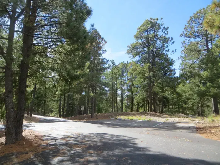
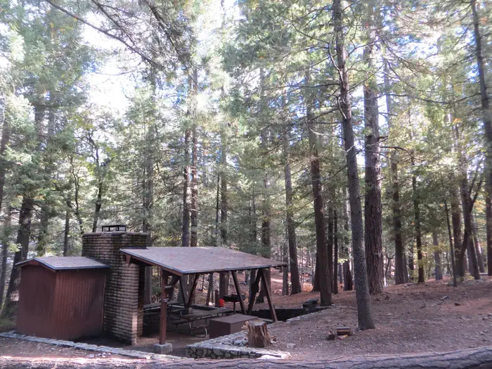
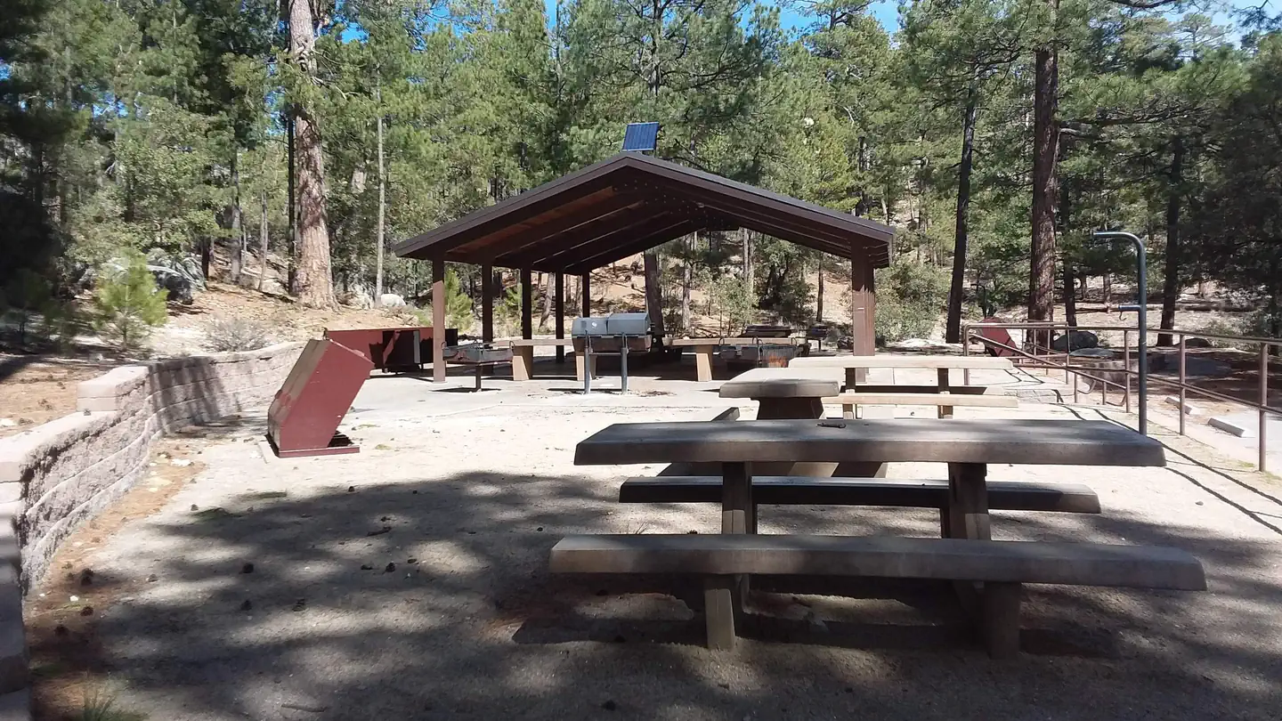
Upper 50 Year is a 1.6-mile out-and-back trail located in Arizona. The route features 280 feet of elevation gain, making it a moderate hike suitable for those seeking a shorter adventure with some climbing. The out-and-back format allows hikers to turn around at any point, providing flexibility in distance covered. This trail offers access to the Arizona landscape, with elevation changes that provide some physical challenge over the relatively compact route. The combination of distance and elevation gain creates a hike that can typically be completed in one to two hours, depending on pace and fitness level. The trail is ideal for hikers looking for a quick outdoor excursion without committing to a full day on the trail. Whether you're building endurance, breaking in new hiking boots, or simply seeking a brief escape into nature, Upper 50 Year provides a straightforward Arizona hiking option with moderate terrain.
Cowboy Slick Rock
~1 min drive
2.1 mi · Easy
Dynamite
~1 min drive
3.2 mi · Moderate
Stone Cactus Loop
~2 min drive
8.1 mi · Hard
Mount Lemmon Trail #5
~11 min drive
A 1.71-mile out-and-back trail on Mount Lemmon in Arizona.
Meadow
~10 min drive
1.7 mi · Easy
Middle Gate
~1 min drive
3.8 mi · Moderate
Sutherland
~7 min drive
7.1 mi · Hard
East Ski Run Road
~12 min drive
A brief 0.69-mile out-and-back trail in Arizona that connects to the Aspen Draw Trail system.
Bigelow
~18 min drive
1.7 mi · Easy
Around the Mountain
~1 min drive
4.0 mi · Moderate