
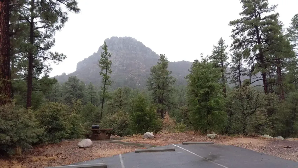
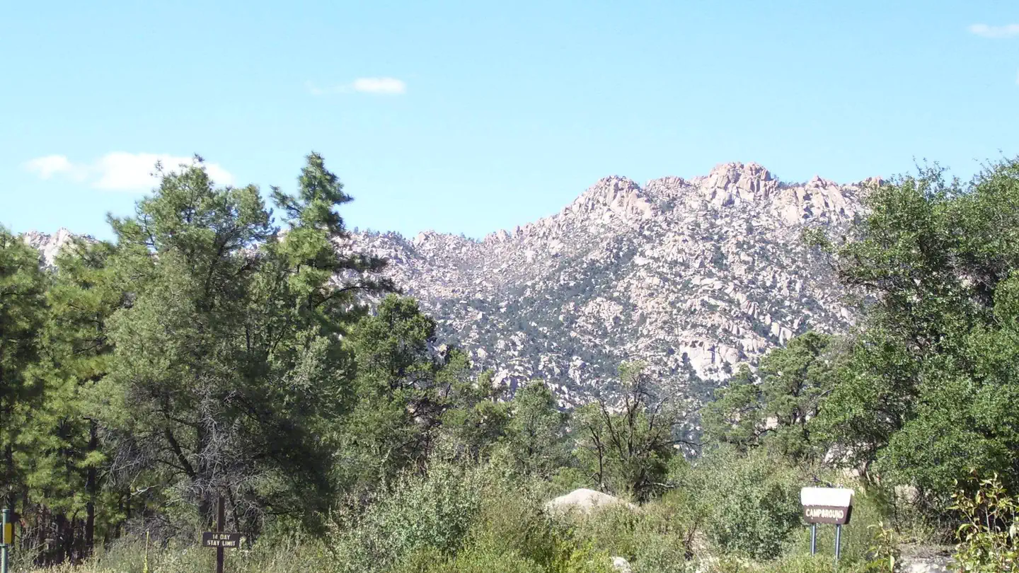
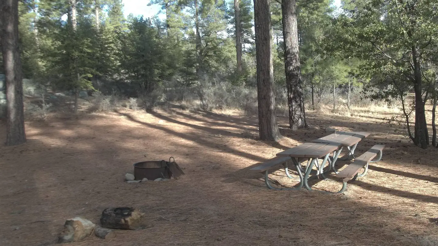
Black Canyon Campground
Hiking business nearby (~40 mi away) — hasn't claimed their Roamze page yet
Free — you'll pick up right here.
Watch this trail
Sign up to watch it — saving subscribes you to gate, closure and report changes.
Arizona
2.0 mi
Distance
400 ft
Gain
51 min
Time
We won't guess. Here is exactly what we do and don't know.
What we do know
Inside Prescott National Forest
2 managing-area boundaries mapped — agency alerts for them feed this page automatically.
Boundary data
What's missing
No access route mapped
We don't yet know which road reaches this trailhead, so we can't tell you if it's gated.
Nobody's filed a report here yet — be the first.
Why you'll love it
Thumb Butte
AI-suggested draft · review before you go
No permit or access details on file for this trail — check with the local land manager before you go.
Thumb Butte is a 2.0-mile loop trail located near Prescott, Arizona. The route gains 400 feet of elevation and offers hikers access to a distinctive rock formation that rises prominently above the surrounding landscape. The trail is popular for its relatively short distance and moderate elevation gain, making it accessible to a wide range of fitness levels. The loop format allows hikers to experience different perspectives of the butte and surrounding terrain without backtracking. The trail takes approximately 1-2 hours to complete depending on pace and photo stops. Well-maintained and clearly marked, Thumb Butte draws both local residents and visitors seeking a quick outdoor excursion near Prescott. The area offers typical Arizona high desert scenery with juniper and ponderosa pine forest. Early morning or late afternoon hikes provide the best lighting for viewing the distinctive rock formations. The trail is accessible year-round, though summer temperatures can be intense at lower elevations, while winter may bring occasional snow at higher points.
Pine Lakes
~0 min drive
3.2 mi · Moderate
Water Tower
~0 min drive
1.4 mi · Easy
Thumb Butte Spur
~1 min drive
Short out-and-back spur trail with scenic views and rock formations.
Balancing Rock
~7 min drive
6.3 mi · Hard
West
~1 min drive
4.2 mi · Moderate
Miller Creek
~0 min drive
1.3 mi · Easy
Prescott Circle Trail
~7 min drive
55 mi · Hard
Ridge Top
~2 min drive
4.1 mi · Moderate
Firewater
~1 min drive
2.4 mi · Easy
Mint Wash
~8 min drive
8.2 mi · Hard
Local operatorsoffering guided trips. You book directly with them — Roamze doesn’t take a cut.
Black Canyon Campground
Hiking business nearby (~40 mi away) — hasn't claimed their Roamze page yet
Camp Avalon Spiritual Nature Retreat
Hiking business nearby (~44 mi away) — hasn't claimed their Roamze page yet
Canyon Outfitters Sedona
Hiking business nearby (~46 mi away) — hasn't claimed their Roamze page yet