Loading trail…

Free — you'll pick up right here.
Watch this trail
Sign up to watch it — saving subscribes you to gate, closure and report changes.
Arizona
5.0 mi
Distance
24 ft
Gain
1h 41m
Time
An agency closure order is in effect for this area; weather is good
2 factors · 2 sources
Newest 4 h ago · oldest 4 d
problem: Agency alerts
14 active alerts in Santa Catalina Ranger District; most severe: Marshall Gulch Closure Order
USFS4 d ago
clear: Weather
Rain, high 79°F / low 79°F, 24% precip — 88/100 for hike
OpenWeather4 h ago
Been out here in the last few days? One report keeps this current for everyone.
Why you'll love it
Soldier
AI-suggested draft · review before you go
No permit or access details on file for this trail — check with the local land manager before you go.
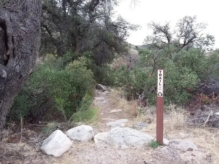
The Soldier Trail is a 5.0-mile out-and-back hike located in Arizona. This relatively flat route features minimal elevation gain of just 24 feet, making it accessible for hikers of various skill levels. The gentle terrain and manageable distance make it suitable for a moderate day hike or morning outing. As an out-and-back trail, you'll travel to a turnaround point before retracing your steps, allowing you to control your distance and turn back at any point if needed. The low elevation gain means you can expect a steady, easy walking pace without significant climbs or descents. This trail offers a straightforward hiking experience in the Arizona landscape. Whether you're looking for a casual walk or prefer a less strenuous option, the Soldier Trail provides an approachable outdoor experience with a predictable route and minimal technical difficulty.
Molino Basin Trail #11
~3 min drive
A 2.75-mile out-and-back trail in Arizona connecting to the Arizona Trail and Sycamore Reservoir Trail system.
Milagrosa
~4 min drive
7.5 mi · Hard
Bug Springs Trail
~6 min drive
8.8 mi · Moderate
Sabino Canyon
~6 min drive
5.0 mi · Easy
Bellota Trail #15
~3 min drive
A 10.57-mile out-and-back trail in Arizona that connects to the Arizona National Scenic Trail system.
Palisade
~7 min drive
13 mi · Hard
Blacketts Ridge
~9 min drive
3.1 mi · Moderate
Rose Canyon Lake
~6 min drive
0.3 mi · Easy
Sycamore Reservoir Trail #39
~4 min drive
A 3.14-mile out-and-back trail in Arizona near Sycamore Reservoir.
Knagge
~9 min drive
8.4 mi · Hard