Loading trail…

Free — you'll pick up right here.
Watch this trail
Sign up to watch it — saving subscribes you to gate, closure and report changes.
Arizona
0.1 mi
Distance
7 ft
Gain
2 min
Time
We won't guess. Here is exactly what we do and don't know.
What we do know
Inside Coronado National Forest
3 managing-area boundaries mapped — agency alerts for them feed this page automatically.
Boundary data
What's missing
No access route mapped
We don't yet know which road reaches this trailhead, so we can't tell you if it's gated.
Nobody's filed a report here yet — be the first.
Why you'll love it
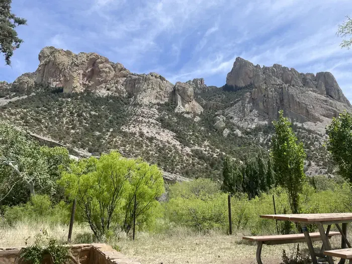
Sentinel Peak Trail
AI-suggested draft · review before you go
Sentinel Peak Trail is a short lollipop loop located in Arizona and managed by the U.S. Forest Service. At just 0.1 miles, this is an extremely brief outing ideal for visitors seeking a quick walk rather than an extended hike. The trail features no elevation gain, making it accessible to hikers of all fitness levels, including families with young children and those with mobility considerations. The lollipop configuration means you'll follow a single approach before looping back on a slightly different return route. Given its minimal distance and flat terrain, Sentinel Peak Trail works well as a supplementary walk during a visit to the area or as a warm-up before tackling longer trails nearby. The U.S. Forest Service maintains this route as part of its public land management responsibilities. Conditions and accessibility may vary seasonally, so checking with the managing agency before your visit is recommended.
Horseshoe Ridge Trail #282
~1 min drive
7.2 mi · Moderate
Baker Canyon Trail #225
~1 min drive
5.4 mi · Easy
Snowshed Trail #246
~4 min drive
17 mi · Hard
Price Canyon Trail #224
~1 min drive
11 mi · Moderate
Jones Ridge Trail #365
~1 min drive
2.8 mi · Easy
Price Shake
~6 min drive
6.9 mi · Hard
Rucker Trail #222
~3 min drive
9.4 mi · Moderate
Ojo Agua Fria
~6 min drive
A 2-mile out-and-back singletrack in Arizona that connects to the Crest Trail and Chiricahua Peak Bypass Trail.
Green House
~7 min drive
6.5 mi · Hard
Burro Trail #240
~3 min drive
11 mi · Moderate
Also worth it near here