Loading trail…

Free — you'll pick up right here.
Watch this trail
Sign up to watch it — saving subscribes you to gate, closure and report changes.
Arizona
0.3 mi
Distance
50 ft
Gain
5 min
Time
No agency boundary, access route or field report is mapped to it — so there is no verdict, and we won't guess. We'll tell you the moment this trail has something to say.
Covered nearby
Trails within 25 miles where we do have a current picture.
Nobody's filed a report here yet — be the first.
Why you'll love it
Owl Creek Trail
AI-suggested draft · review before you go
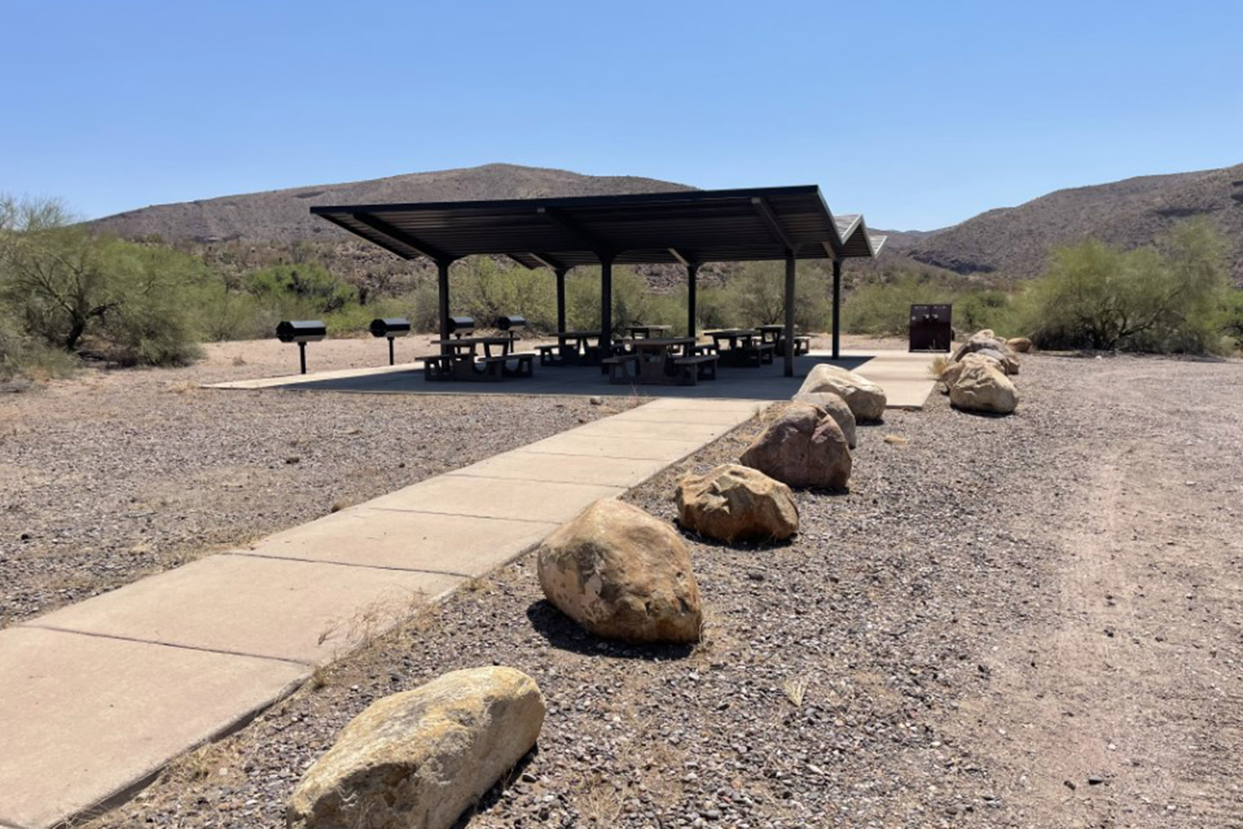
Owl Creek Trail is a short out-and-back hike located in Arizona, managed by the Bureau of Land Management. At just 0.3 miles, it's an ideal option for hikers seeking a quick walk with minimal time commitment. The trail features no elevation gain, making it accessible for visitors of all fitness levels, including families with young children and those looking for a leisurely stroll. The flat terrain means you can focus on enjoying the surrounding landscape without the physical demands of climbing. As an out-and-back route, you'll retrace your path on the return journey, so plan accordingly for your total hiking time. This short trail works well as a warm-up hike, a break during a longer outdoor adventure day, or a standalone visit when time is limited. Given its modest distance and gentle terrain, Owl Creek Trail is suitable for early morning or evening hikes.
Pleasant Valley
~13 min drive
13 mi · Hard
Brushy
~20 min drive
3.6 mi · Moderate
Santa Cruz Trail
~26 min drive
1.4 mi · Easy
Hickey Springs
~14 min drive
20 mi · Hard
Sardine
~26 min drive
3.8 mi · Moderate
Safford-Morenci Trail
~26 min drive
1.9 mi · Easy
Grand Enchantment Trail: Lower Eagle Creek Road Spur
~17 min drive
19 mi · Hard
Grand Enchantment Trail Alternative 12
~26 min drive
8.1 mi · Moderate
Falls
~27 min drive
1.7 mi · Easy
Grand Enchantment Trail Segment 13: Old Safford-Morenci Trail
~21 min drive
Historic 30.69-mile backcountry segment through southeastern Arizona high country.