
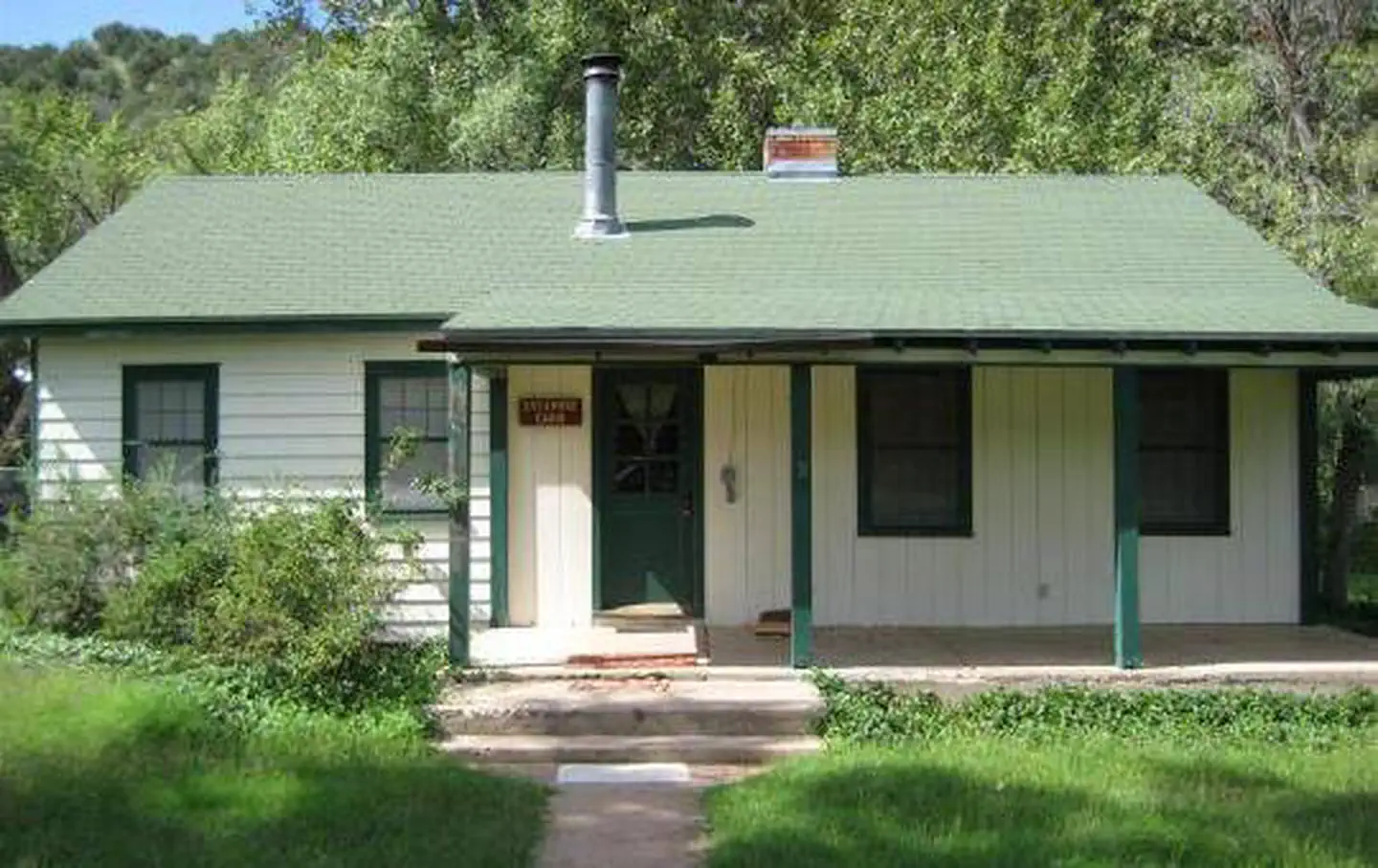
Black Canyon Campground
Hiking business nearby (~25 mi away) — hasn't claimed their Roamze page yet
Free — you'll pick up right here.
Watch this trail
Sign up to watch it — saving subscribes you to gate, closure and report changes.
Arizona
15.9 mi
Distance
870 ft
Gain
5h 44m
Time
We won't guess. Here is exactly what we do and don't know.
What we do know
Inside Prescott National Forest
2 managing-area boundaries mapped — agency alerts for them feed this page automatically.
Boundary data
What's missing
No access route mapped
We don't yet know which road reaches this trailhead, so we can't tell you if it's gated.
Nobody's filed a report here yet — be the first.
Why you'll love it
Nelson
AI-suggested draft · review before you go
No permit or access details on file for this trail — check with the local land manager before you go.
The Nelson Trail is a 15.9-mile out-and-back hike located in Arizona. With 870 feet of elevation gain spread across the route, this trail offers a moderate challenge suitable for hikers with basic endurance. The out-and-back format means you'll cover the same terrain on your return, allowing for flexibility in how far you venture before turning back. The trail's relatively modest elevation gain compared to its distance makes it accessible to a wider range of skill levels, though the overall mileage requires adequate preparation and fitness. The Arizona location provides desert or high-desert scenery typical of the region, with the terrain and environment varying based on specific elevation and season. Before heading out, plan for plenty of water and sun protection, as Arizona trails often involve exposure. The out-and-back structure is ideal if you prefer a straightforward route without the logistics of a shuttle or loop. Starting early in the day is recommended given the distance, allowing ample time to complete your hike before sunset.
Pine Flat
~1 min drive
6.5 mi · Hard
Double T
~2 min drive
3.8 mi · Moderate
Pine Mountain
~4 min drive
2.5 mi · Easy
Verde Rim
~4 min drive
12 mi · Hard
Short Cut
~4 min drive
2.9 mi · Moderate
Lower Cedar Bench
~11 min drive
A moderate 2.6-mile out-and-back trail in Arizona that links to Goat Springs Trail #542 and Chasm Creek Trail #164.
Buck Basin
~6 min drive
1.3 mi · Hard
Willow Springs
~6 min drive
3.1 mi · Moderate
Gap Creek
~11 min drive
1.1 mi · Easy
Oxbow
~11 min drive
15 mi · Hard
Local operatorsoffering guided trips. You book directly with them — Roamze doesn’t take a cut.
Black Canyon Campground
Hiking business nearby (~25 mi away) — hasn't claimed their Roamze page yet
Camp Avalon Spiritual Nature Retreat
Hiking business nearby (~34 mi away) — hasn't claimed their Roamze page yet
Canyon Outfitters Sedona
Hiking business nearby (~37 mi away) — hasn't claimed their Roamze page yet