
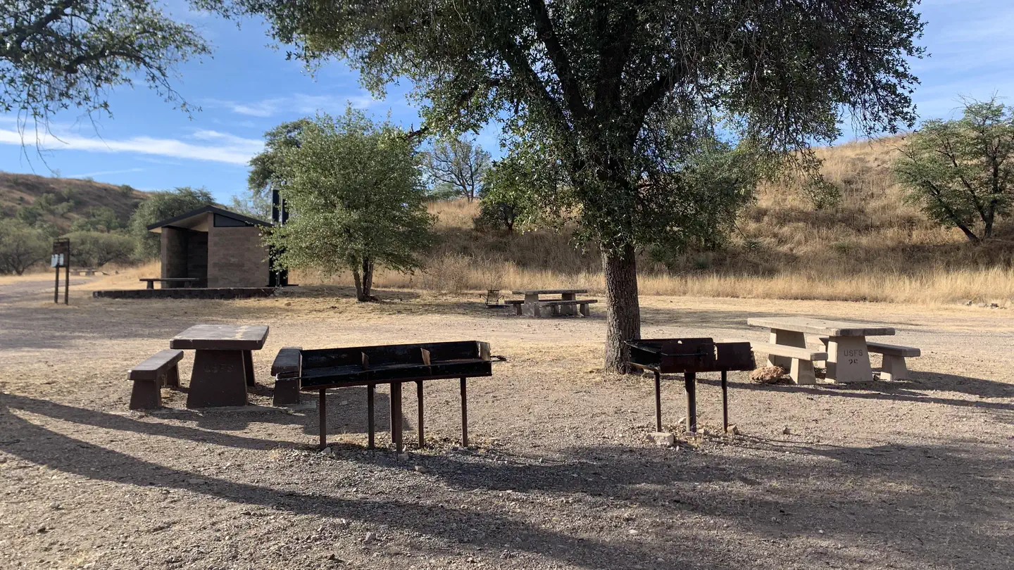
Patagonia RV Park
Hiking business nearby (~37 mi away) — hasn't claimed their Roamze page yet
Free — you'll pick up right here.
Watch this trail
Sign up to watch it — saving subscribes you to gate, closure and report changes.
Arizona
0.9 mi
Distance
92 ft
Gain
19 min
Time
No agency boundary, access route or field report is mapped to it — so there is no verdict, and we won't guess. We'll tell you the moment this trail has something to say.
Covered nearby
Trails within 25 miles where we do have a current picture.
Nobody's filed a report here yet — be the first.
Why you'll love it
Arivaca Creek Trail
AI-suggested draft · review before you go
No permit or access details on file for this trail — check with the local land manager before you go.
Arivaca Creek Trail is a short out-and-back hike in southern Arizona that follows a scenic creek drainage through riparian habitat. This easy walk offers a refreshing escape into a water-rich environment, where you may encounter native vegetation and wildlife typical of Arizona's creek corridors. The modest distance makes it perfect for families or those seeking a quick nature outing.
Arivaca Cienega Nature Trail
~5 min drive
Easy out-and-back nature walk through Arizona desert wetland habitat.
Sycamore Canyon
~26 min drive
20 mi · Hard
Pena Blanca
~36 min drive
1.8 mi · Easy
Quantrell Mine
~46 min drive
5.6 mi · Moderate
Ranch Loop Trail
~14 min drive
Easy 0.78-mile out-and-back trail in Arizona.
Border
~42 min drive
17 mi · Hard
Petes Mountain
~50 min drive
2.6 mi · Easy
Josephine Canyon
~51 min drive
5.0 mi · Moderate
Aguirre Lake Trail
~14 min drive
Short out-and-back hike to a scenic alpine lake in Arizona.
Agua Caliente
~45 min drive
10 mi · Hard
Local operatorsoffering guided trips. You book directly with them — Roamze doesn’t take a cut.
Patagonia RV Park
Hiking business nearby (~37 mi away) — hasn't claimed their Roamze page yet