Loading trail…

Free — you'll pick up right here.
Watch this trail
Sign up to watch it — saving subscribes you to gate, closure and report changes.
AZ
We won't guess. Here is exactly what we do and don't know.
What we do know
Inside Apache-Sitgreaves National Forests
2 managing-area boundaries mapped — agency alerts for them feed this page automatically.
Boundary data
What's missing
No access route mapped
We don't yet know which road reaches this trailhead, so we can't tell you if it's gated.
Nobody's filed a report here yet — be the first.
Why you'll love it
Canyon Point
AI-suggested draft · review before you go
We don't have curated regulation data for AZ yet. Check Arizona Game & Fish for current rules before fishing.
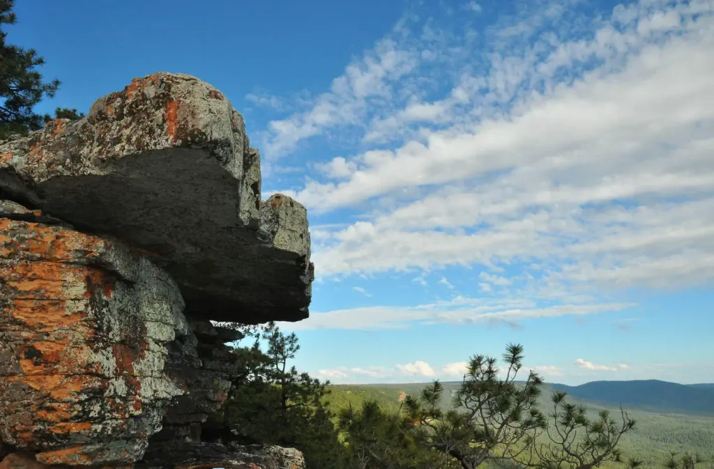
See full state regulationsOverview Located in the scenic Apache-Sitgreaves National Forest in north central Arizona near the town of Heber, Canyon Point has a range of individual and group campsites to suit many visitors. The campground sits in a heavily wooded pine and aspen area 5 miles from the popular Willow Springs Lake. Campers enjoy trout fishing (both lake and stream), hiking, boating and photography.Recreation Hikers enjoy staying at Canyon Point because of its access to trails to the Sinkhole and the edge of the Mogollon Rim, which offers a spectacular view. Its proximity to Willow Springs Lake also draws boaters and anglers. Families who stay on the weekends often attend educational programs given by Forest Service rangers at the facility's amphitheater.Facilities Canyon Point has 113 campsites, 32 of which have electricity. Tents, trailers and motor homes up to 75 ft. are allowed at the campground. Three of the single unit sites are accessible. Larger families can be accommodated at the five double sites which can hold up to 16 people each, and there are two group sites that can host up to 25 or 55 people, respectively. Each site has a picnic table and campfire ring with grill. Showers and restrooms are provided, and firewood is available for sale.Natural Features Canyon Point lies in a forested area above the Mogollon Rim at an elevation of 7,500 ft. The Mogollon Rim, pronounced by locals as "muggy-own," is a 200-mile long escarpment in northern Arizona that ranges between 5,000 and 7,000 ft in elevation. The unique landscape was created by the uplift of the Colorado Plateau followed by erosion and faulting that has sculpted spectacular canyons and buttes. The rim serves as the geographical divide between the cool high country above and the hot, dry desert below. Summer daytime temperatures are generally 20 - 40 degrees cooler than the greater Phoenix Area. However, the rainy season often brings afternoon thunderstorms from late June through August. Visitors should come prepared for possible rain and cool nighttime temperatures. Contact Info For facility specific information, please call (928) 535-0181. Nearby Attractions Forest Lakes, Arizona is located approximately 2 miles east of the campground. Visitors can find food, fuel, telephones, and groceries. The nearest full service community is Overgaard, 22 miles east on Highway 260.
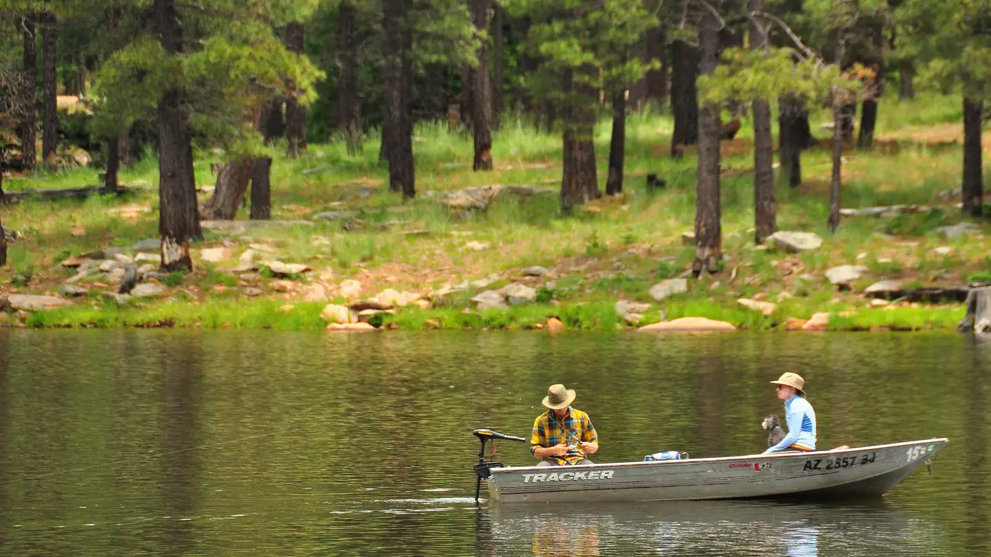
Spillway
~11 min drive
A worthwhile stop near AZ.
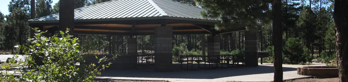
Crook Campground
~11 min drive
A worthwhile stop near AZ.
Willow Springs Lake Fishing and Boating Site
~6 min drive
A worthwhile stop near AZ.
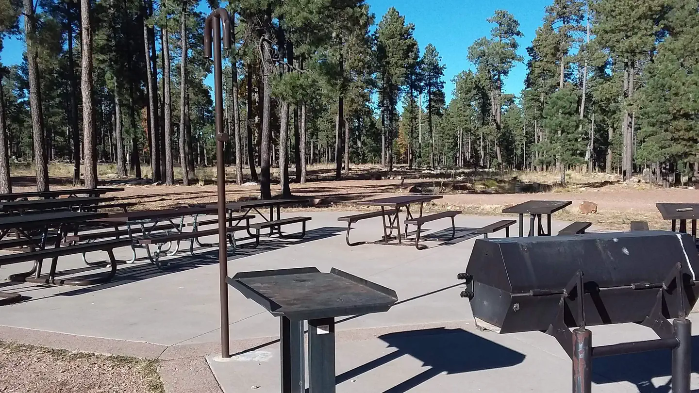
Woods Canyon Lake Group
~11 min drive
A worthwhile stop near AZ.
Willow Springs Lake
~4 min drive
A worthwhile stop near AZ.
Woods Canyon Lake Recreation Area
~12 min drive
A worthwhile stop near AZ.
Black Mesa Ranger District
~33 min drive
A worthwhile stop near AZ.
Willow Springs Lake
~5 min drive
A worthwhile stop near AZ.
Sardine Point Day Use Area
~5 min drive
A worthwhile stop near AZ.
Woods Canyon Lake Area Boating Site
~12 min drive
A worthwhile stop near AZ.
Also worth it near here