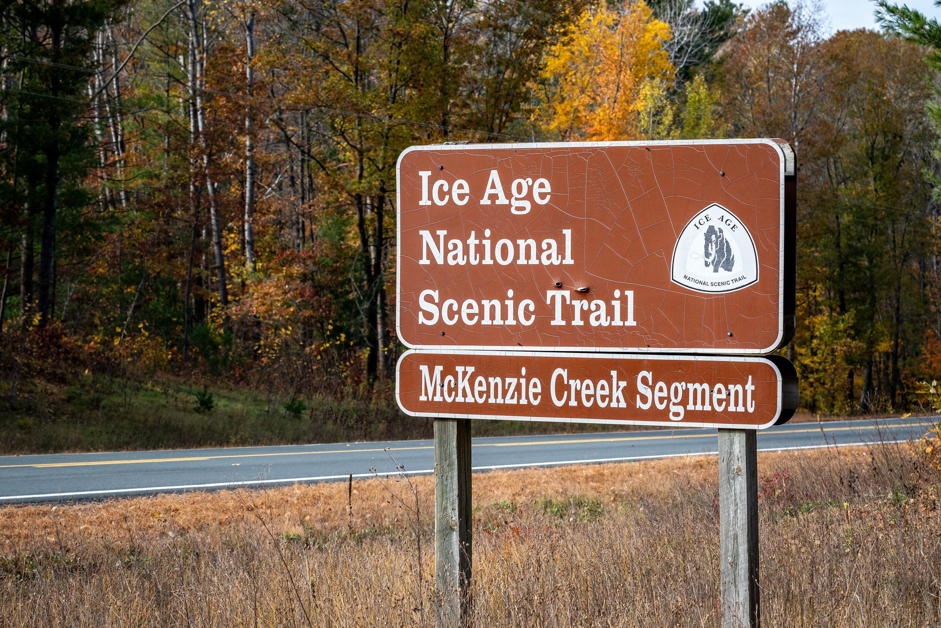
Ice Age National Scenic Trail
WI
Park Alerts (11)
About Ice Age National Scenic Trail
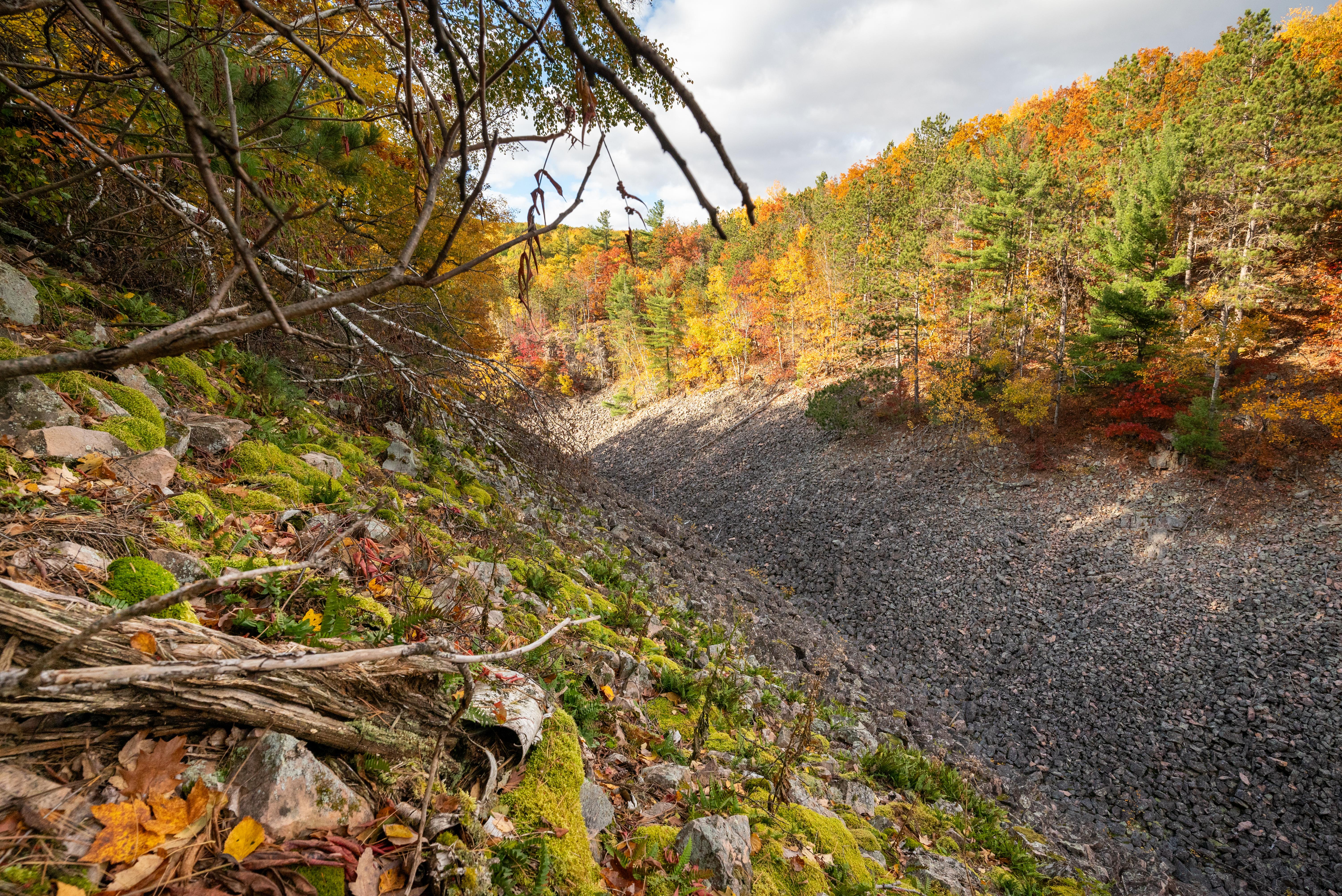
The Ice Age National Scenic Trail spans 1,200 miles, traverses some of Wisconsin's finest geologic and glacial features, and passes through the ancestral lands of 15 Tribes. The Trail is built, managed and maintained by dedicated volunteers, Ice Age Trail Alliance, Wisconsin Department of Natural Resources, local partners, and the National Park Service.
Available Activities
Weather
Wisconsin has four distinct seasons. Summers are generally warm, while winters are cold, often bringing significant snowfall. Weather conditions can vary widely throughout the year and location on the trail.
Prepare accordingly for each season when visiting the Ice Age National Scenic Trail.
Getting There
Ice Age National Scenic Trail spans nearly 1,200 miles across Wisconsin. Major commercial airports are located in cities and regional hubs throughout the state, offering access to the trail. Numerous trailheads with parking are available, allowing you to explore the trail at various entry points along the route.
Plan Your Visit
Let Roamze help you plan the perfect trip to Ice Age National Scenic Trail with AI-powered itineraries.
Hours
Trail
The Ice Age National Scenic Trail is not your 'typical' park. The trail is almost 1,200 miles long and crosses the state of Wisconsin north to south and east to west. The Trail is open year round. However some segments may be closed during Wisconsin's November 9-day gun deer hunting season. Additional information about hunting seasons, trail conditions and closures along the rest of the trail is available from the Wisconsin Department of Natural Resources and the Ice Age Trail Alliance.
National Park Service Office
The operating hours for the National Park Service office located at 8075 Old Sauk Pass Road in Cross Plains, Wisconsin are Monday through Friday from 8:00 a.m. to 4:30 p.m., except holidays.
