Chiricahua National Monument
AZ
Park Alerts (1)
About Chiricahua National Monument
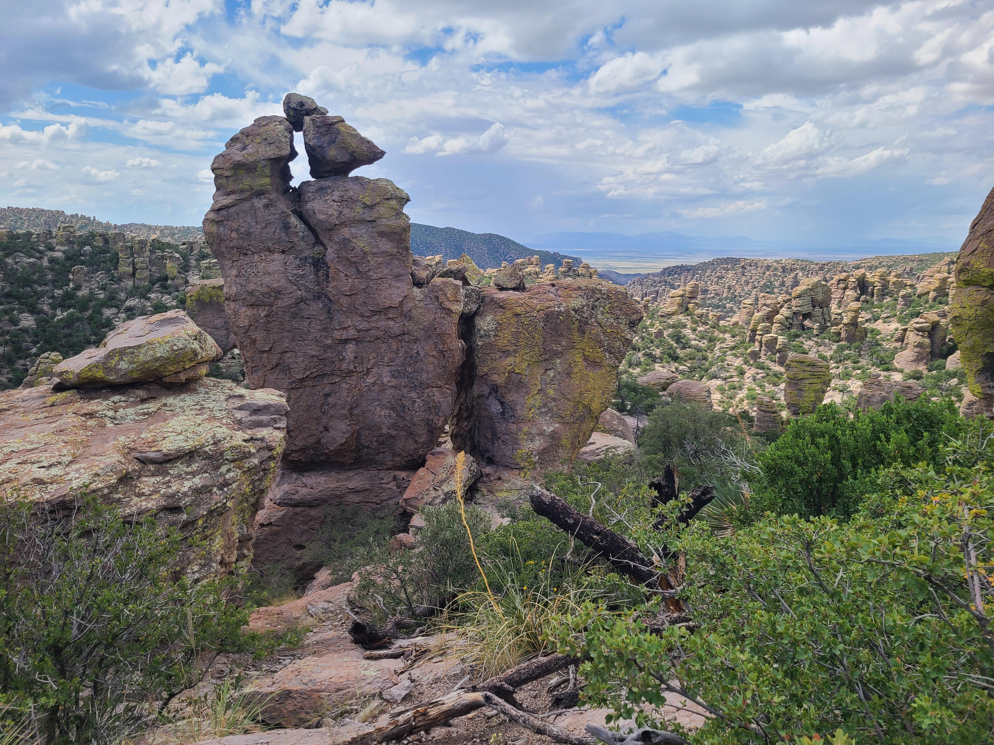
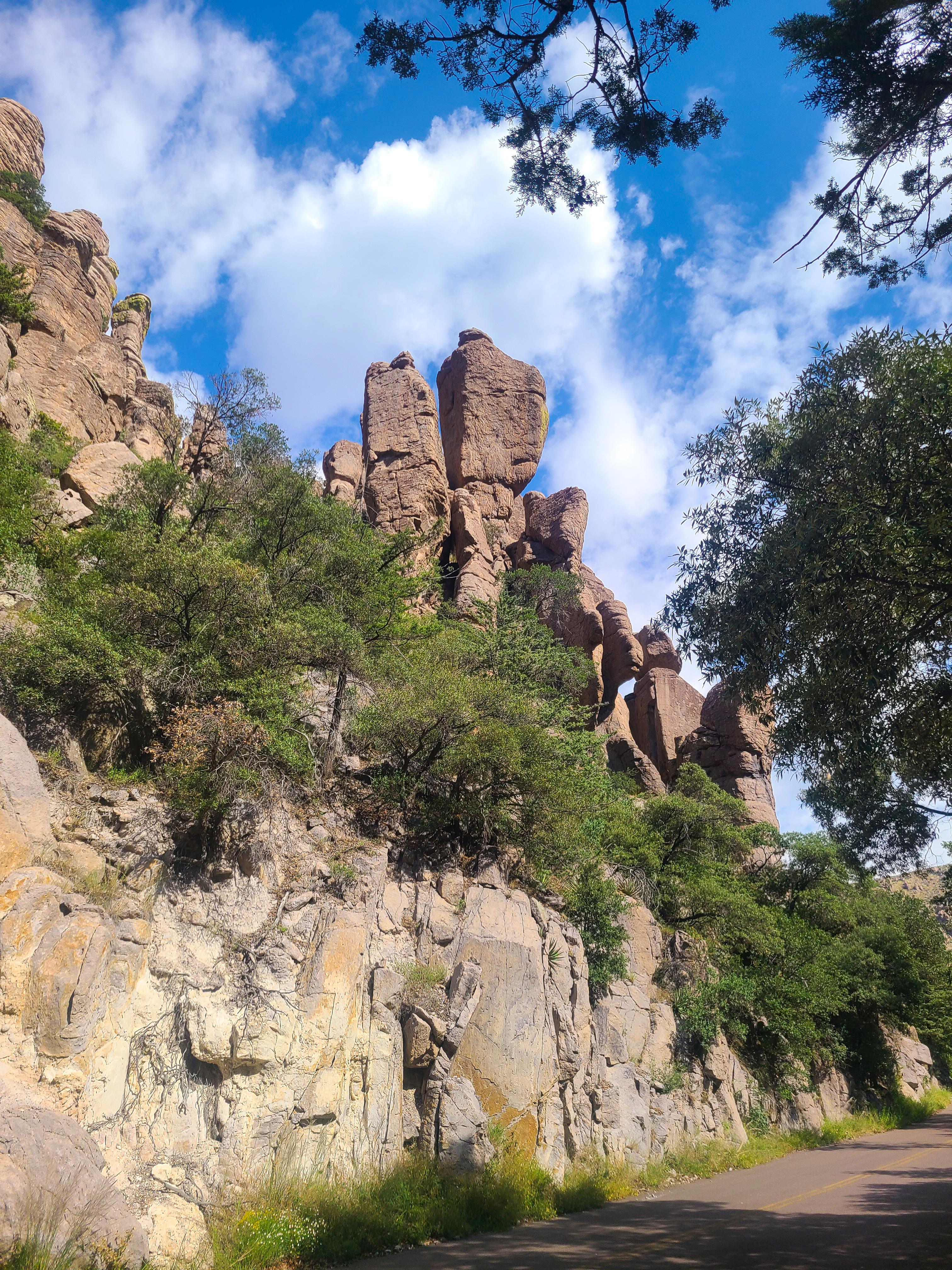
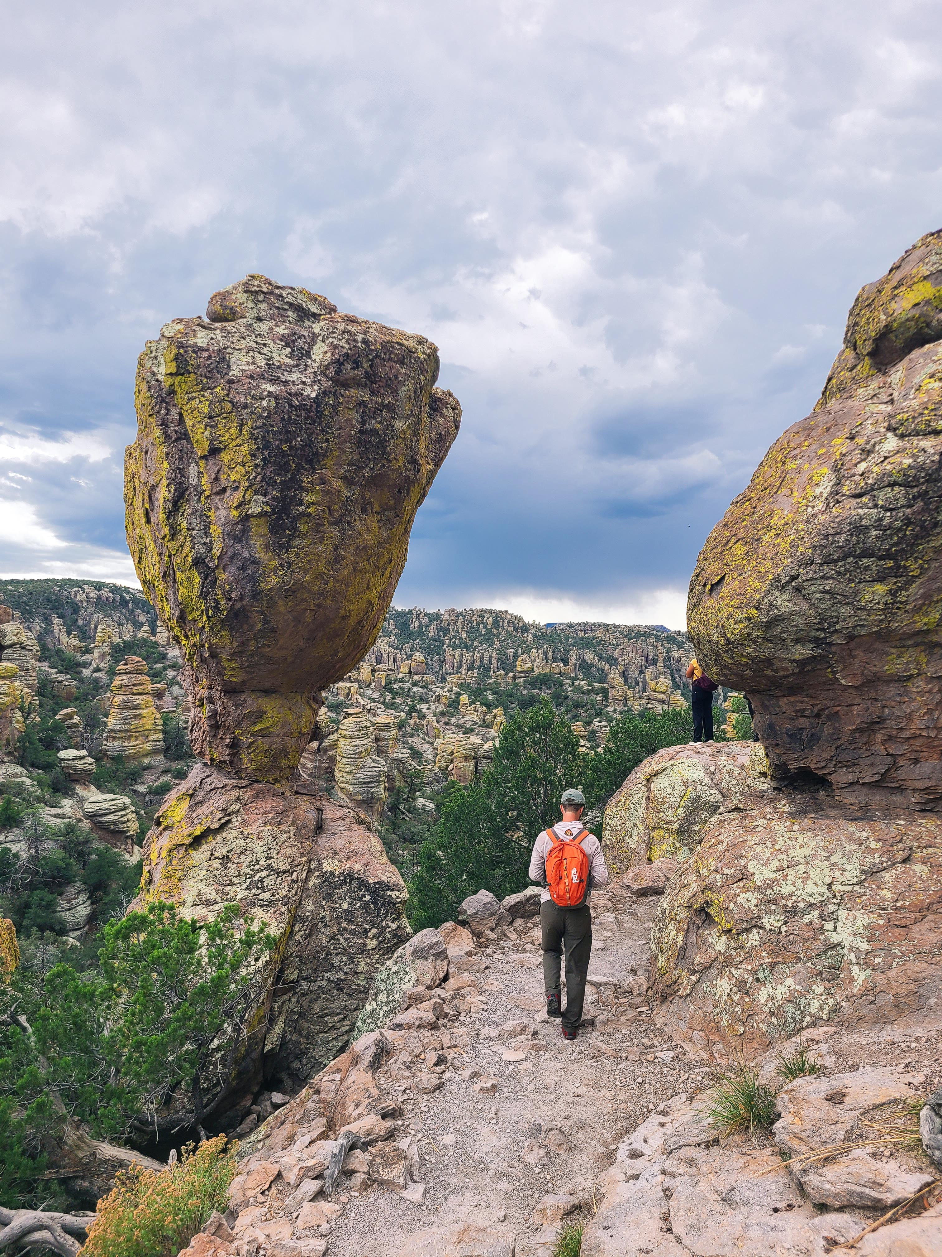
Explore rhyolite pinnacles and balanced rocks on foot or by car. Relax at the campground under star-filled, dark skies. See how a mountain range rising between two deserts creates a home for diverse wildlife.
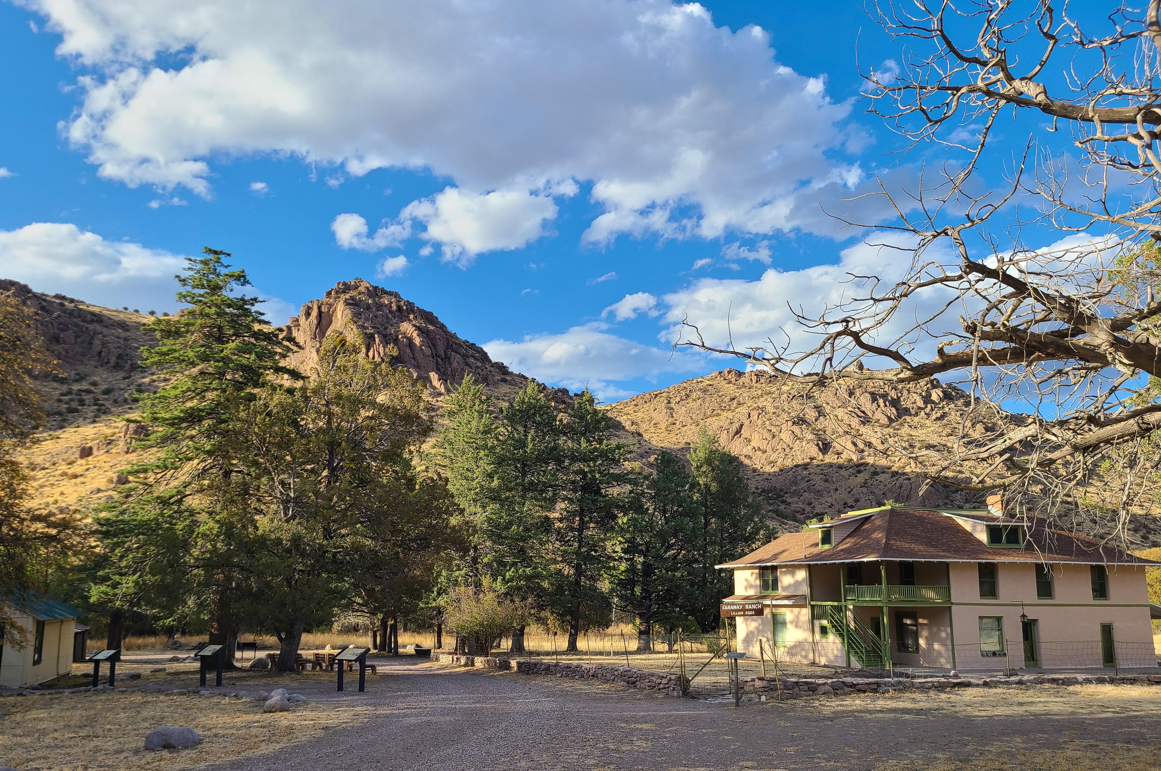
Imagine history here. Prehistoric peoples, Apaches, Buffalo Soldiers, Civilian Conservation Corps, ranchers, and homesteaders inhabited Chiricahua.
Things To Do
Showing 6 of 19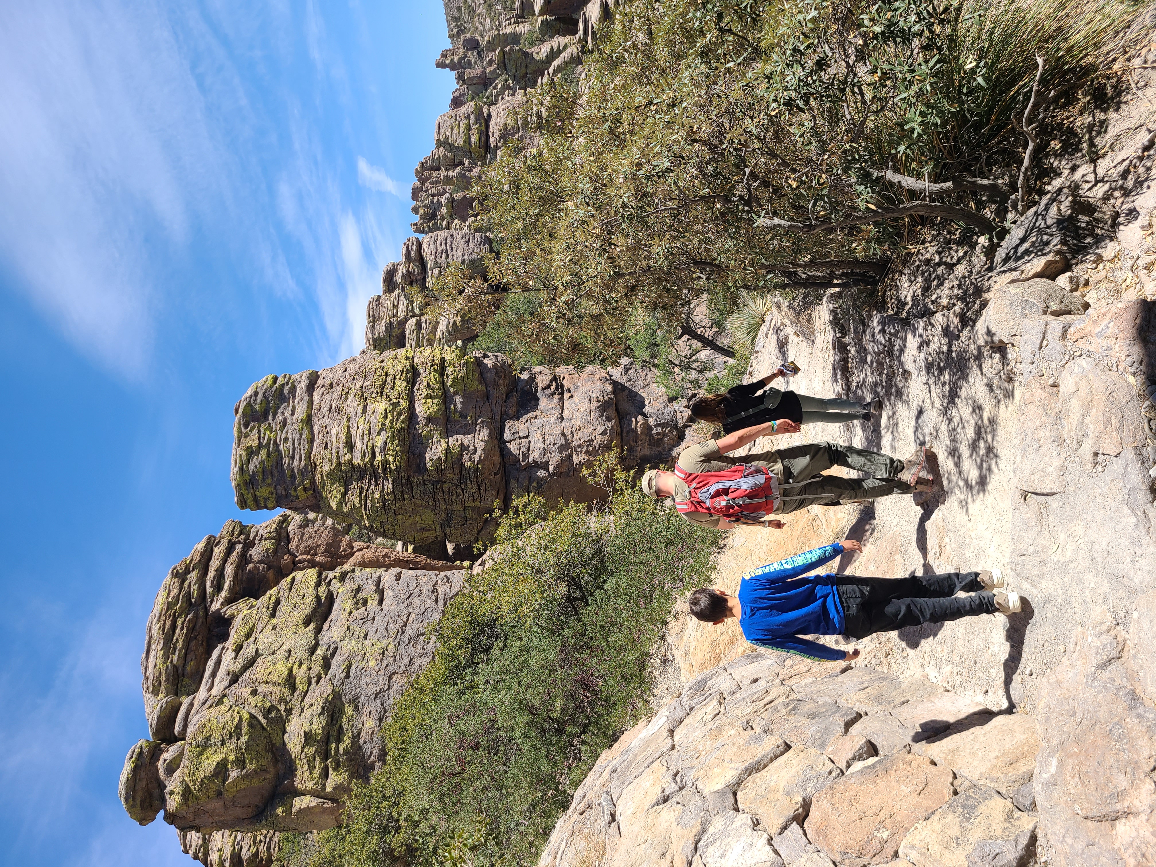
Hike the Trails at Chiricahua
17 miles of trails will take you into a wilderness of rocks. Chiricahua offers a range of day hiking options from easy to strenuous.
Lower Rhyolite Canyon Trail
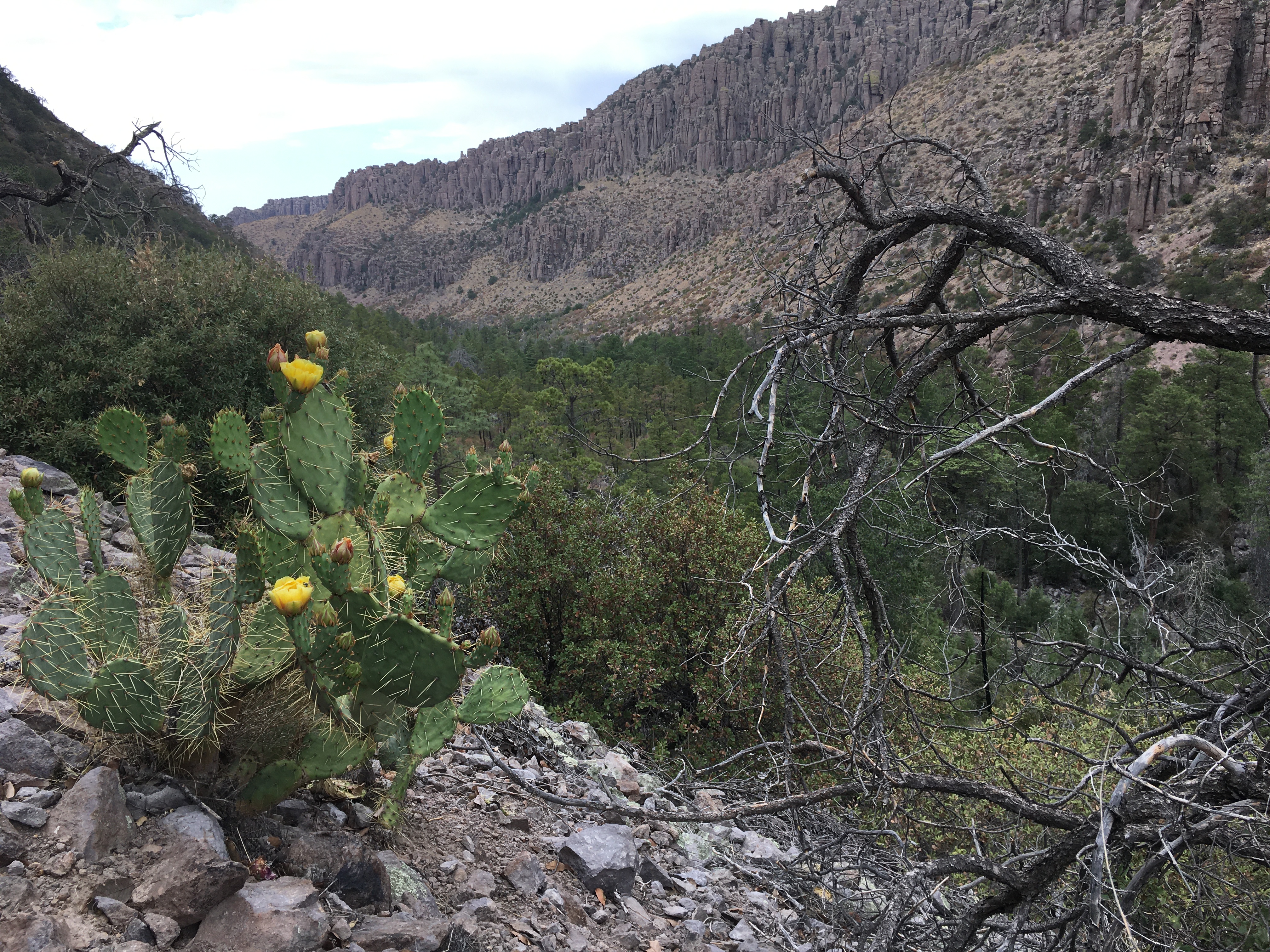
A good way to view the rocks without driving up the road, this mostly-level trail takes you to Rhyolite Canyon, a canyon lined with rock pinnacles. Walk 1.5 miles / 2.4 km until you reach the junction between Upper Rhyolite Canyon and Sarah Deming trails. Return the same way.
Sugarloaf Mountain Trail
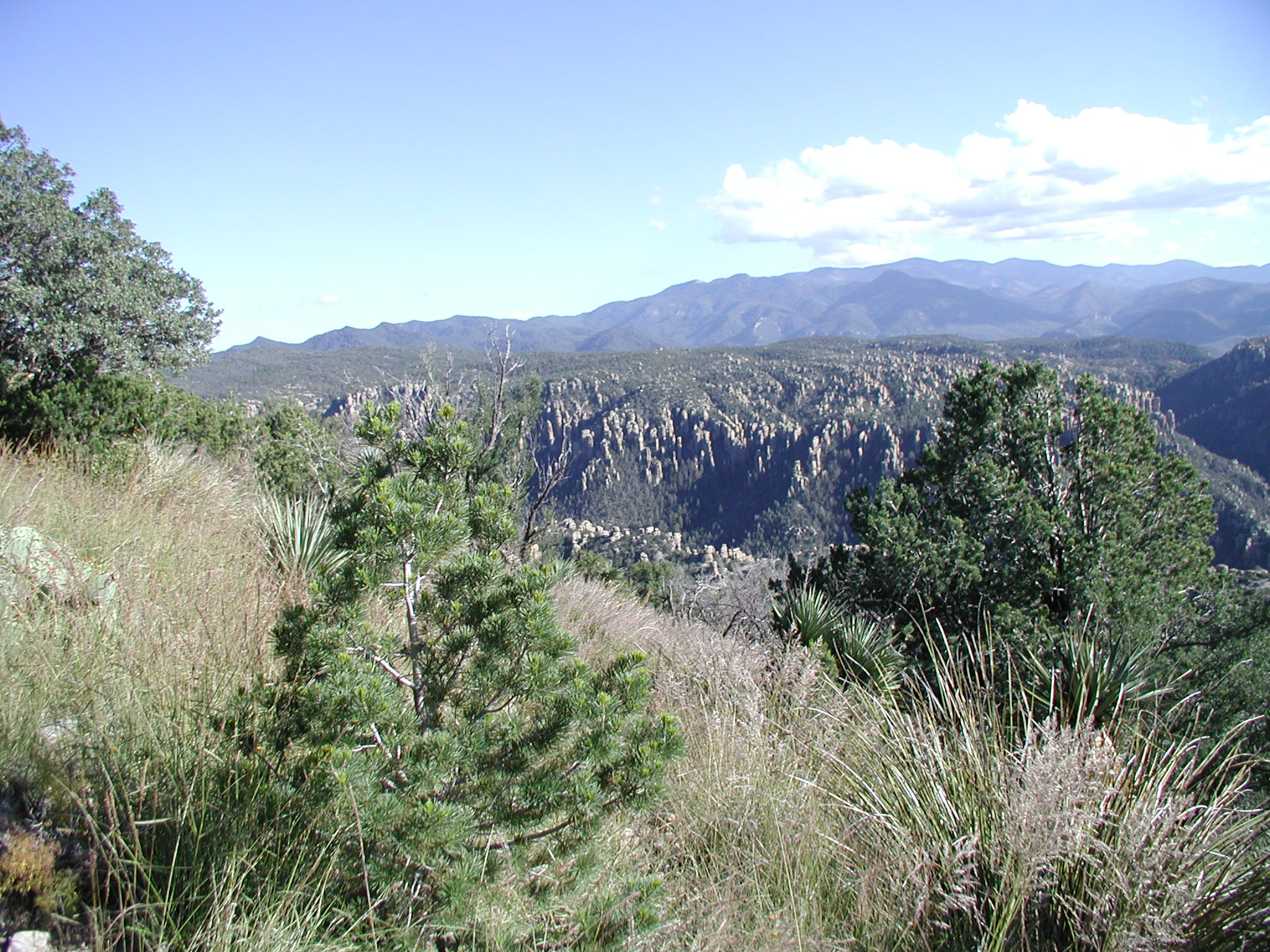
This moderate trail to the top of Sugarloaf Mountain is 1.8 miles/2.8 kilometers roundtrip. Rising above the surrounding canyons, the summit of Sugarloaf Mountain at 7,310ft/2,228m is one of the highest points in the monument. The dark rock is dacite, evidence of a lava flow. Lightning activity is monitored from the Civilian Conservation Corps constructed fire lookout during the summer. Return the same way. Access is from the Sugarloaf parking lot.
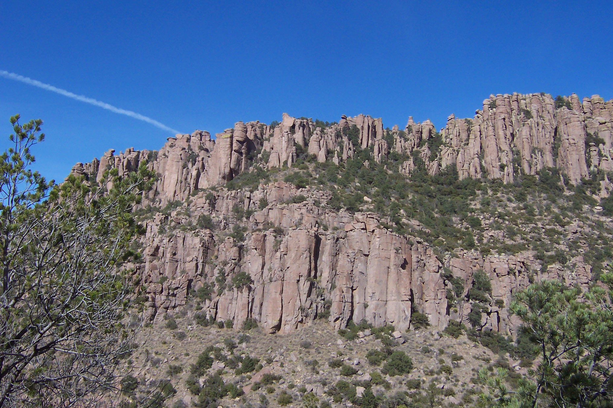
Echo Canyon to Visitor Center
This moderate, 4.2 mile/6.8 kilometer trail begins at Echo Canyon trailhead and consists of Echo Canyon, Upper Rhyolite Canyon, and Lower Rhyolite Canyon trails ending at the Visitor Center. It goes downhill through spectacular rock formations in Echo Canyon. The last half of the hike is in shaded oak woodlands. Make sure you have transportation back to your vehicle or ride the seasonal hikers' shuttle at 9:00 am.
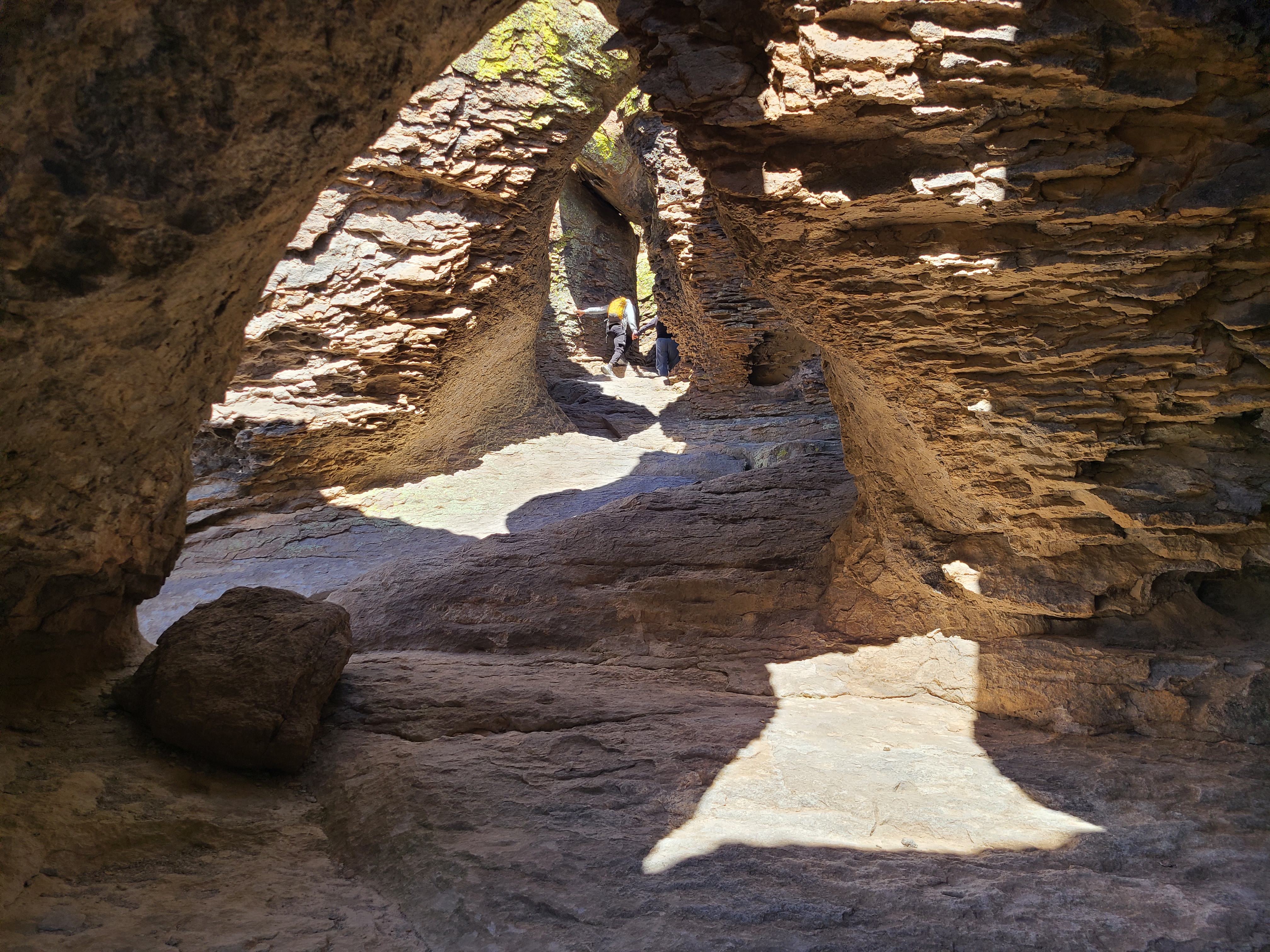
Echo Canyon Grottoes
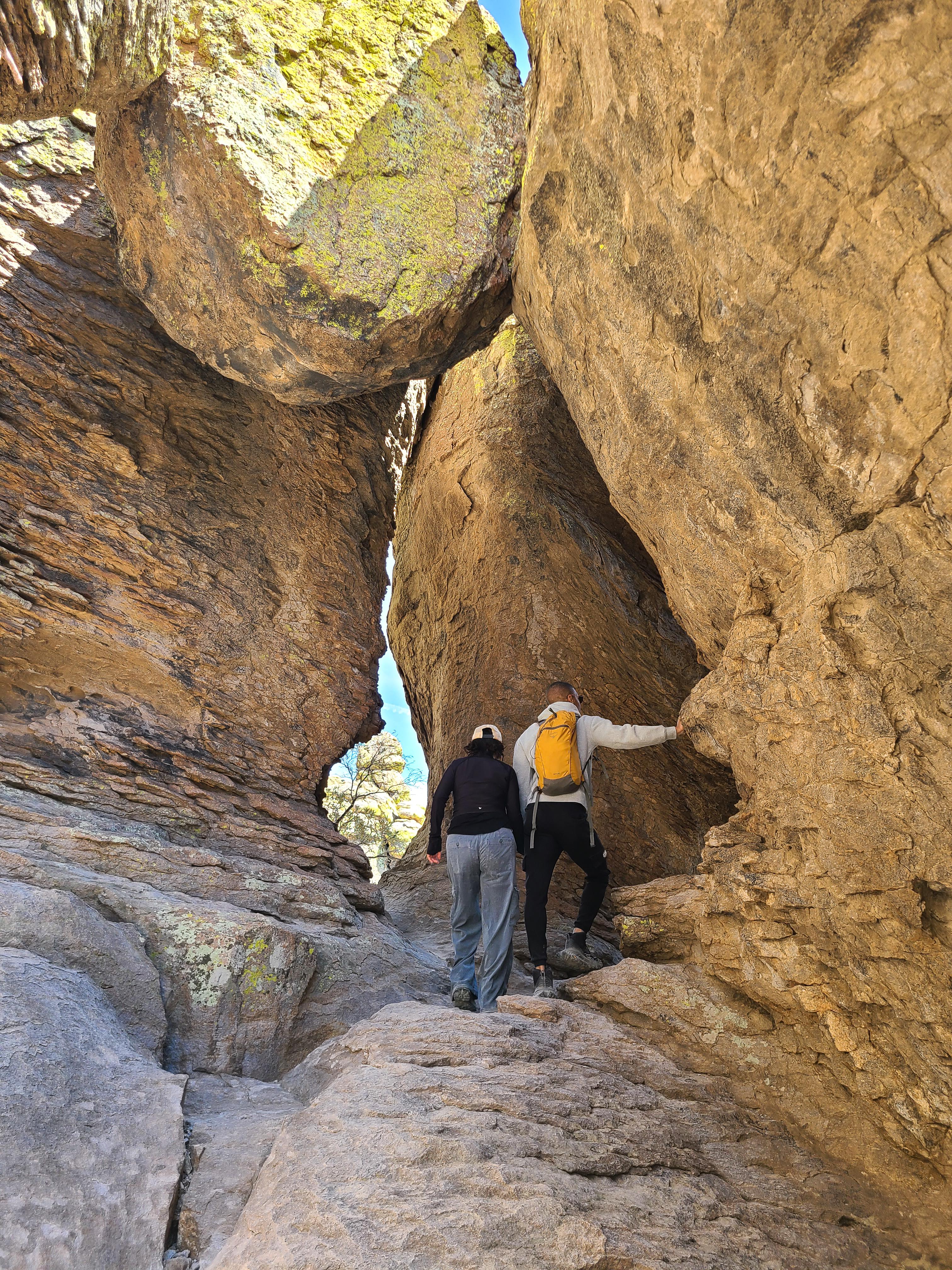
Just 1/2 mile from the parking area, on the Echo Canyon Trail, visitors can be amazed by the tunnel-like rock formations. The Echo Canyon Grottoes are a great option for those who want to experience the rocks but have limited time or mobility.
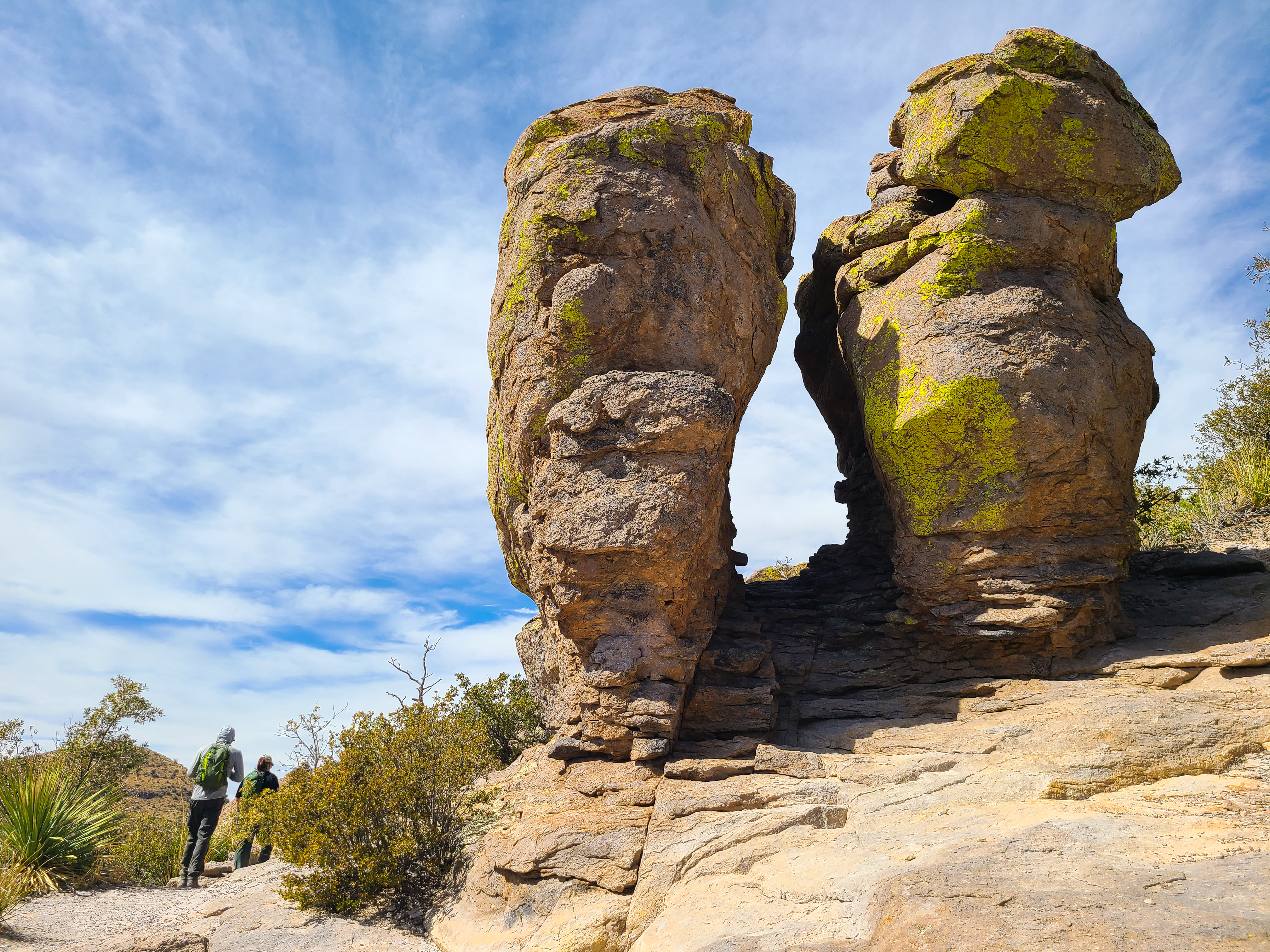
Massai Point Nature Trail
A half-mile loop trail through balanced rocks starts at the top of the scenic drive, Massai Point parking area.
Available Activities
Weather
The park elevation goes from 5,124 feet at the entrance to 7,310 feet on Sugarloaf Mountain. The top of the park can be 5-10 degrees cooler and windier than the visitor center and entrance. The higher elevations generally have more sun exposure.
Clothing layers are always recommended here. The park is often cooler than cities in Arizona with summer highs in the 80s and 90s. Winter lows are often near or below freezing.
Getting There
Chiricahua National Monument is in the southeast corner of Arizona. Interstate I10 from LA or Tucson to El Paso or Lordsburg runs about 40 miles north of the park. Exits in Willcox to Hwy 186 are the most direct paved access to the park from the north.
(Exits 336, 340, and 344). Note: Exit 366 to Bowie will require driving 10 miles of dirt road. This route is recommended only if stopping at Fort Bowie National Historic Site.
Plan Your Visit
Let Roamze help you plan the perfect trip to Chiricahua National Monument with AI-powered itineraries.
Hours
Chiricahua National Monument Facilities and Scenic Drive
The road, campground, and facilities in the park are open overnight. Gates on the road will not be closed during overnight hours unless an emergency occurs. The park prohibits overnight parking, sleeping in vehicles, and camping outside the campground. The trails stay open for sunrise, sunset, and night sky viewing. Be aware of wildlife and use extreme caution.
