Buffalo National River
AR
Park Alerts (1)
About Buffalo National River
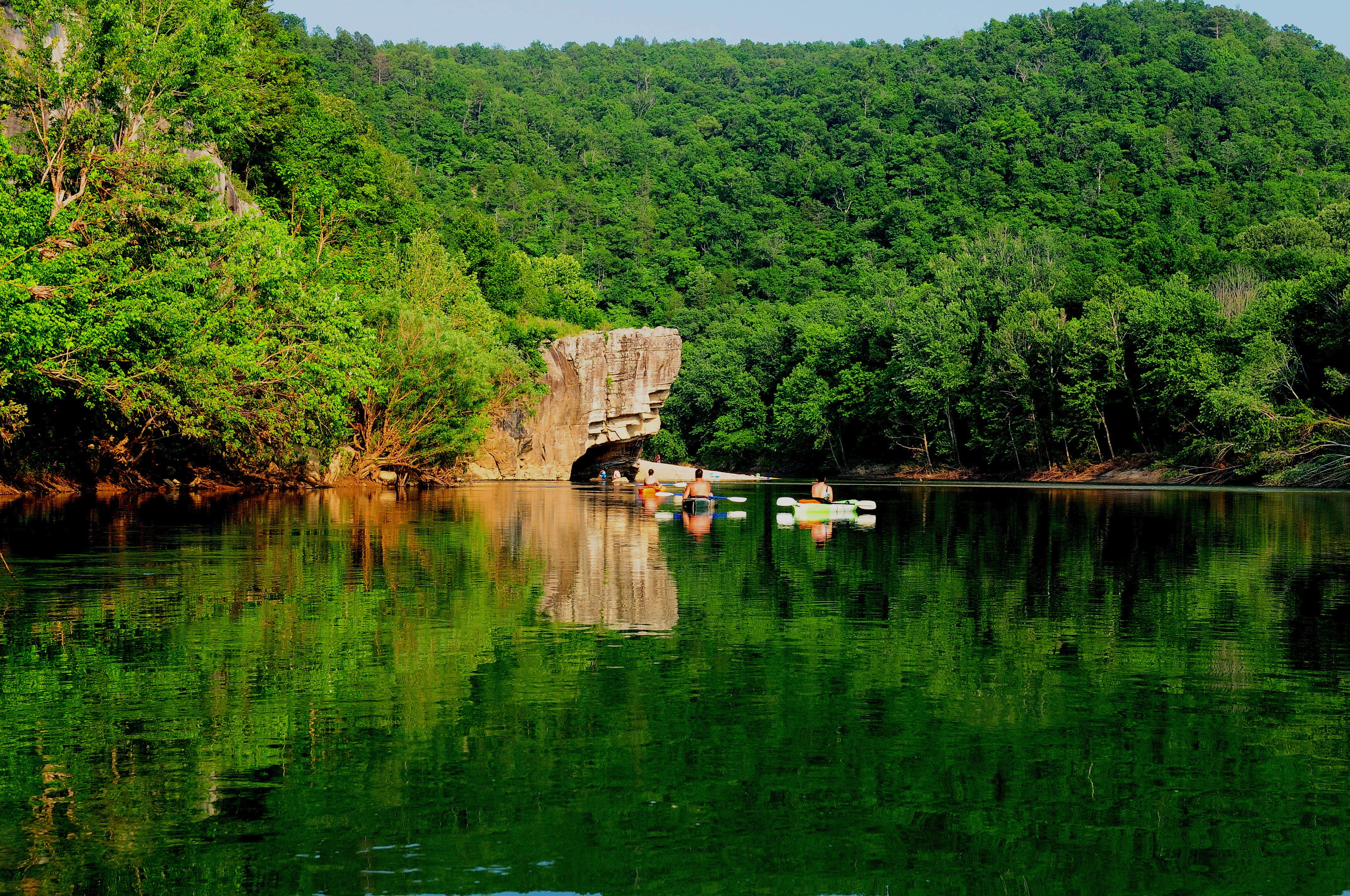
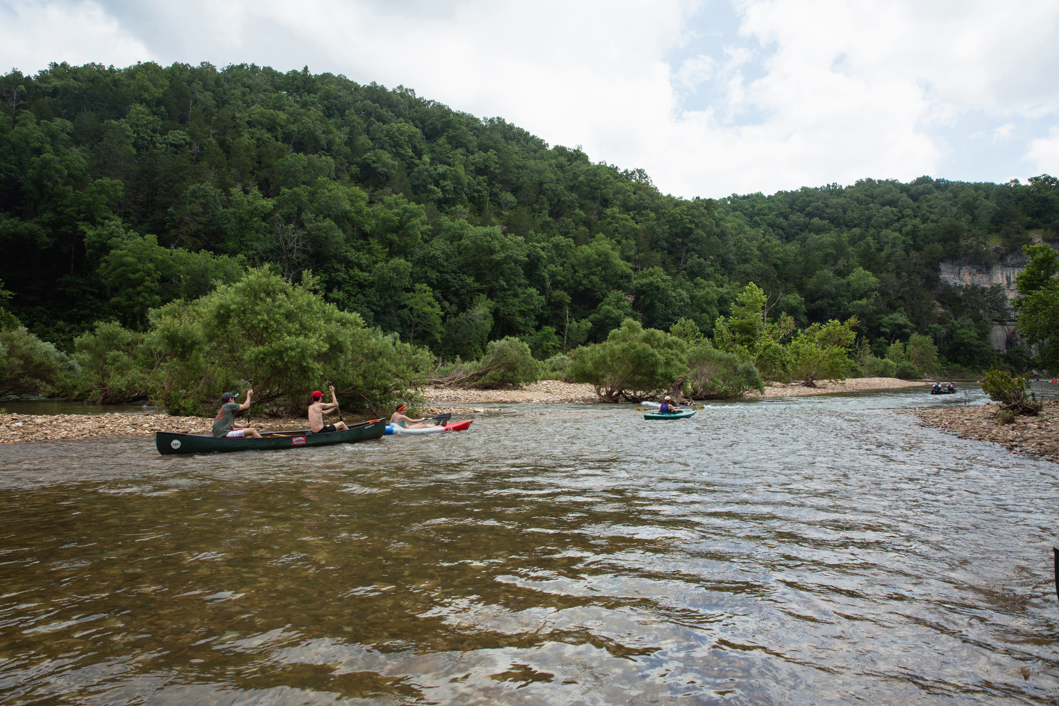
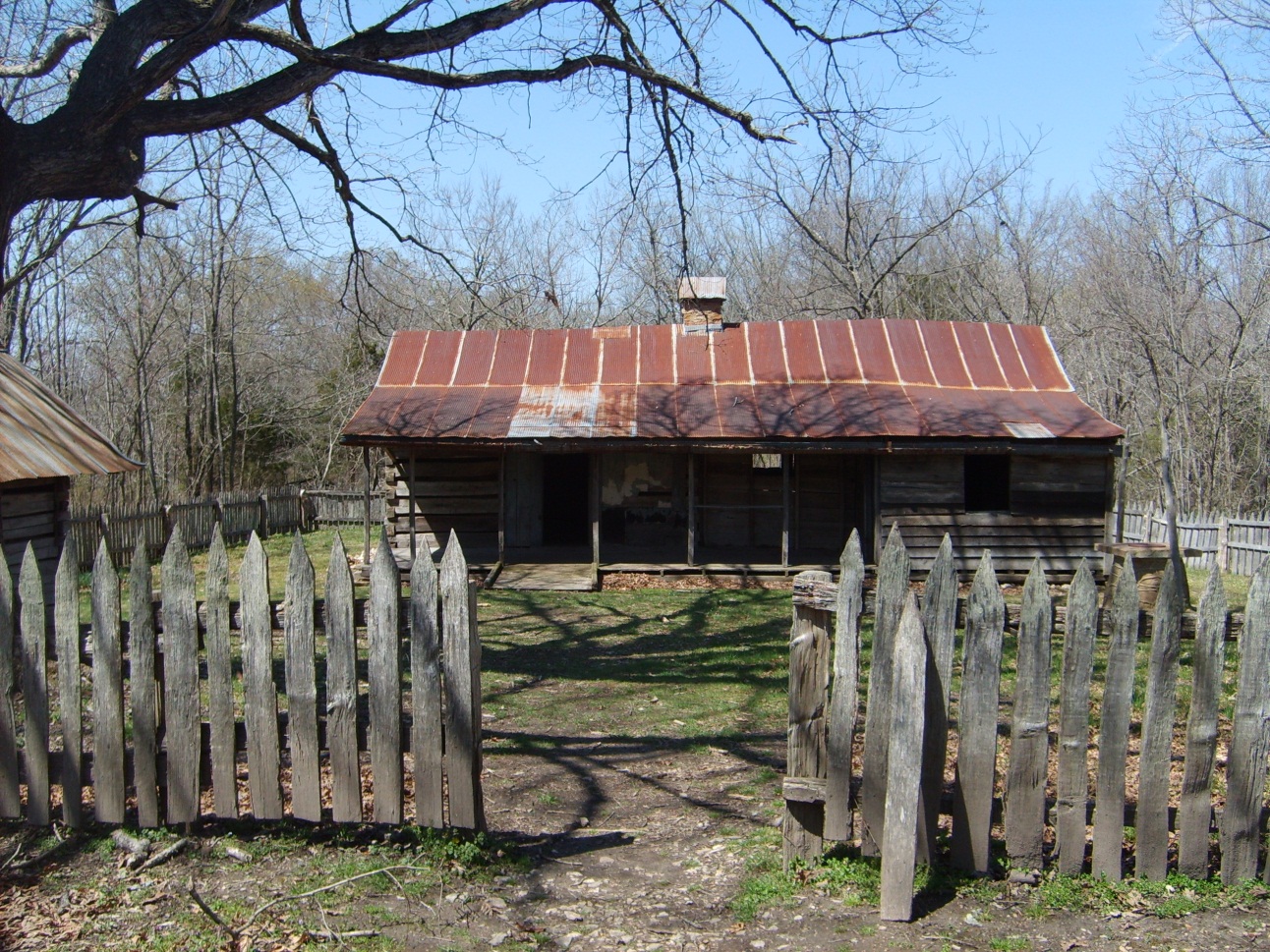
Established in 1972, Buffalo National River flows freely for 135 miles and is one of the few remaining undammed rivers in the lower 48 states. Once you arrive, prepare to journey from running rapids to quiet pools while surrounded by massive bluffs as you cruise through the Ozark Mountains down to the White River.
Things To Do
Showing 6 of 20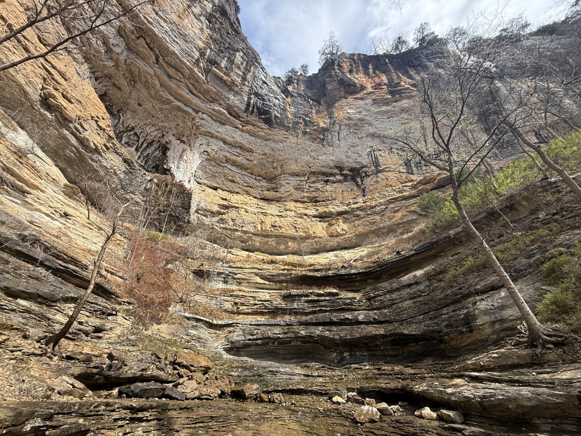
Hike to Hemmed-in Hollow
The picturesque Hemmed-in Hollow Falls cascades nearly 210 feet over rugged Ozark bluffs, making it the highest waterfall between the Rockies and the Appalachians. This waterfall only flows after a considerable amount of rain, so please be mindful of recent precipitation before you attempt this difficult hike. The Hemmed-in Hollow Trail is an extremely steep and strenuous trail that will humble even the most experienced hiker.

Paddling Gilbert to South Maumee
This reach is about 12 miles which makes it one of the less crowded sections of the river.
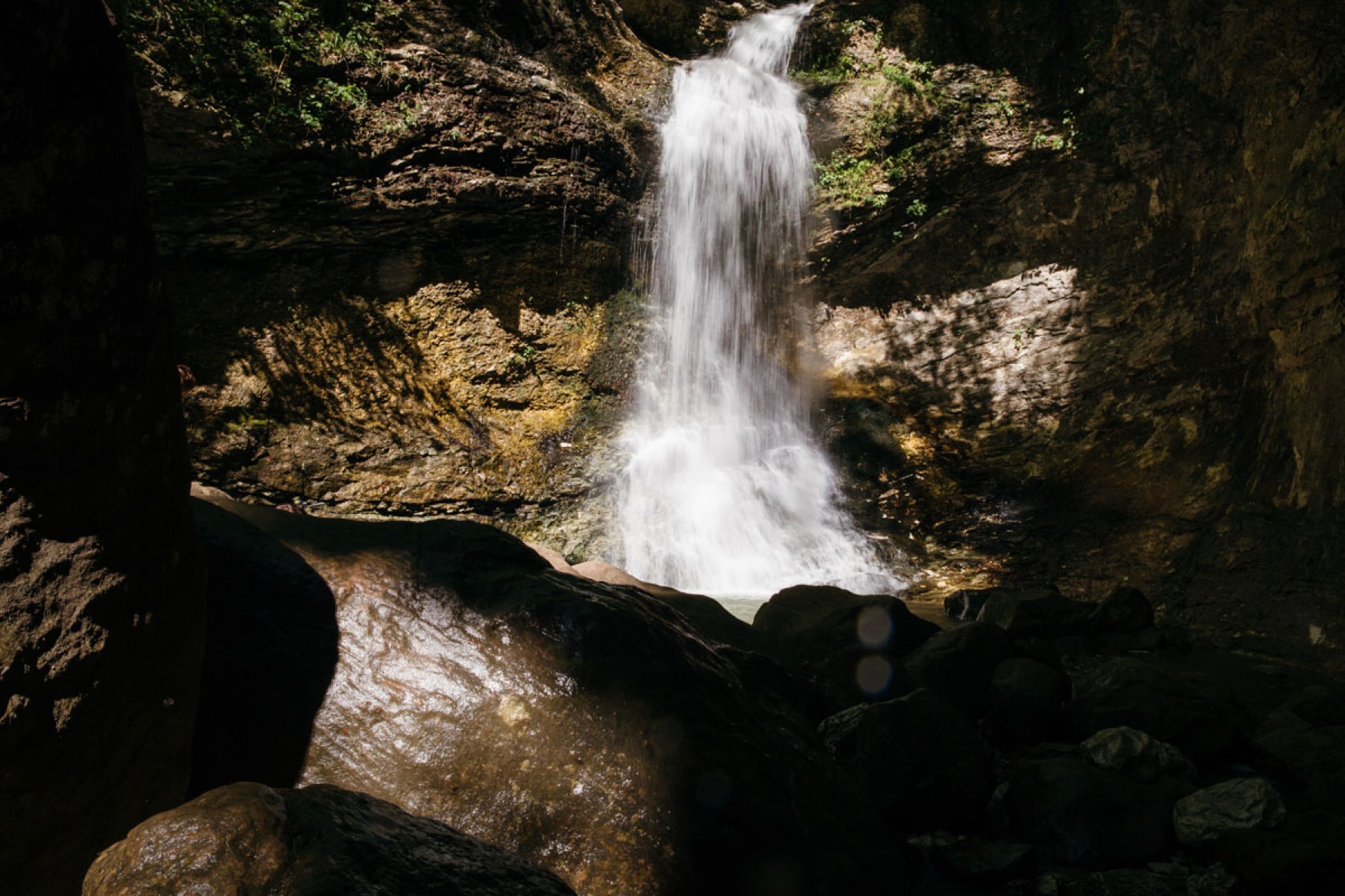
Hike the Lost Valley Trail
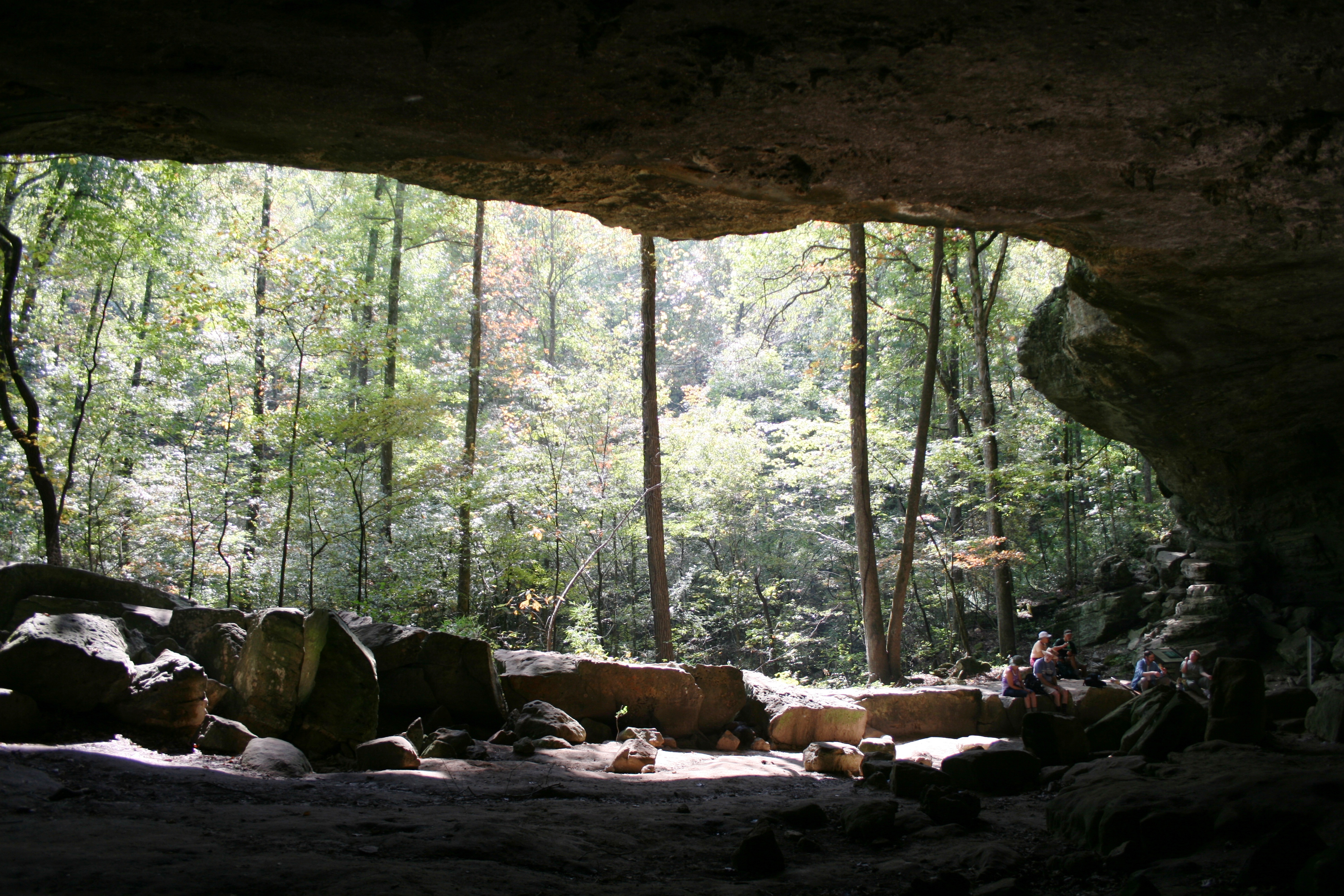
The Lost Valley Trail is an easy to moderate hike through a box canyon sculpted by Clark Creek. At 2.4 miles round-trip, this trail features caves, waterfalls, a Native American bluff shelter, and breathtaking groves of American beech trees.
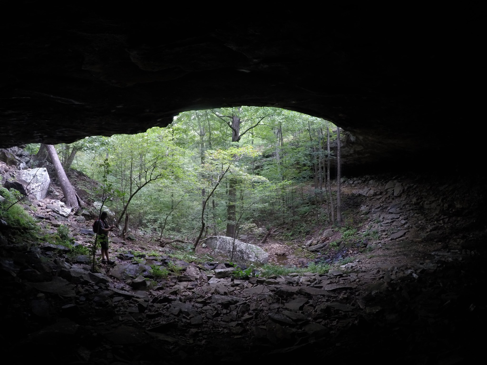
Hike to Hideout Hollow
The Hideout Hollow Trail leads to a rock shelter that was once inhabited by a group of World War I draft dodgers called The Slacker Gang. The Slacker Gang was made up of 9 young men from the Cecil Cove area who refused to join the army and decided to go into hiding in the wilderness. The 9 young men remained in hiding for months before surrendering to the draft in 1918.
Hike to Big Bluff
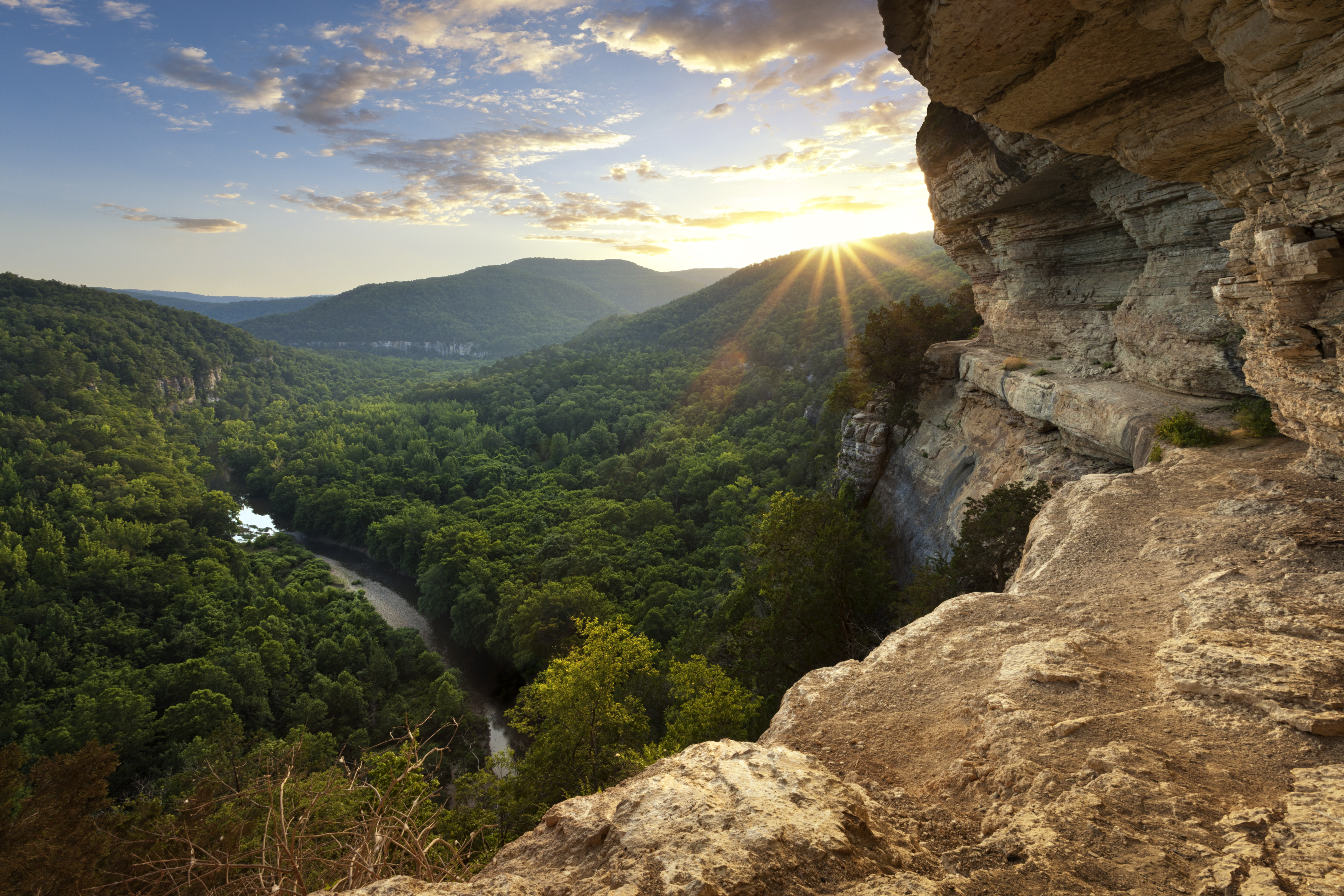
The Centerpoint Trail is a strenuous hike that traverses the Ponca Wilderness, winding down an old wagon road descending nearly 1,300 ft. to the Buffalo River. The "Goat Trail" spurs off of Centerpoint and leads to iconic Big Bluff, which offers outstanding panoramic views of the Buffalo River and the rugged Ozark Mountains that surround it.
Hike the Buffalo Point Campground Trails
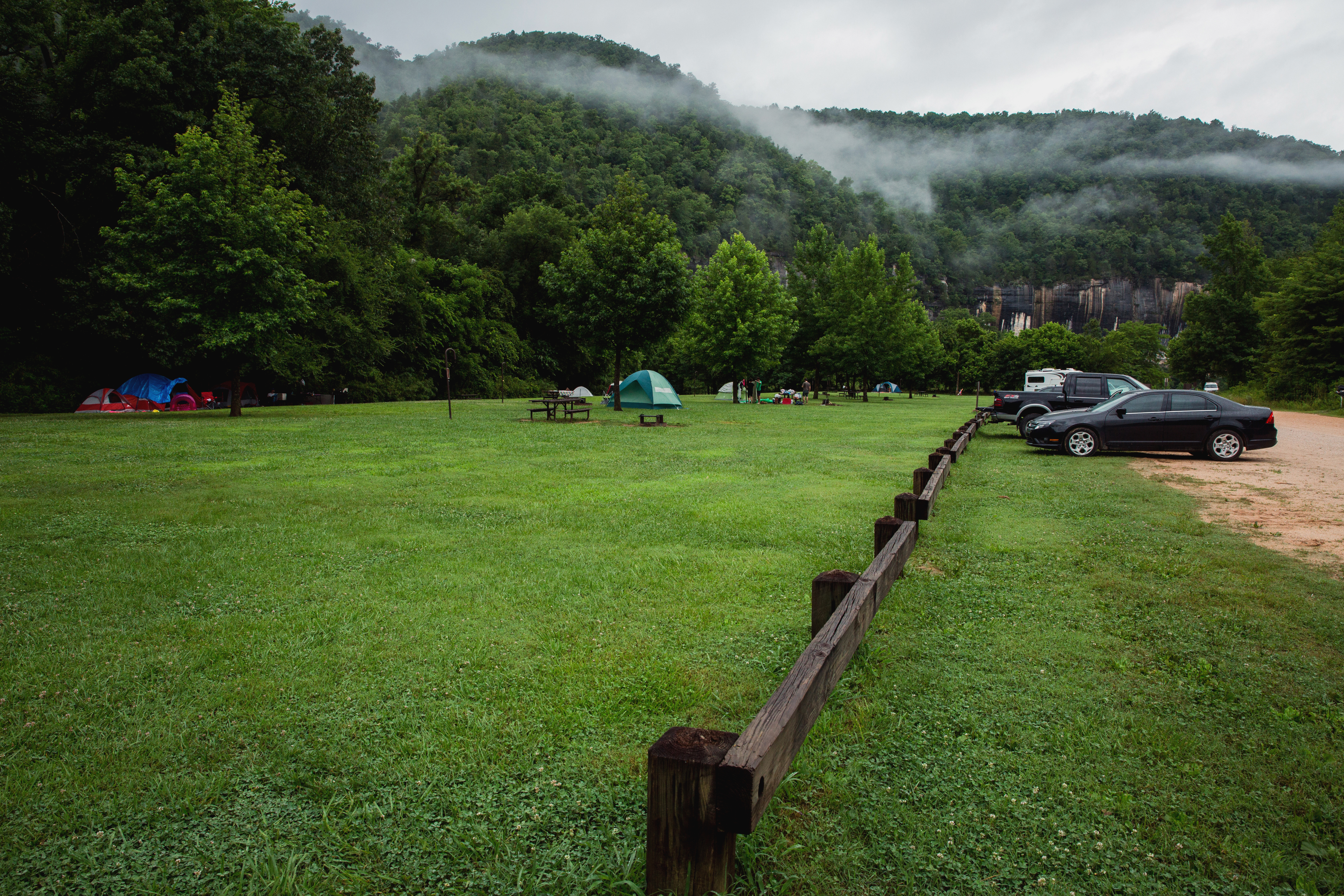
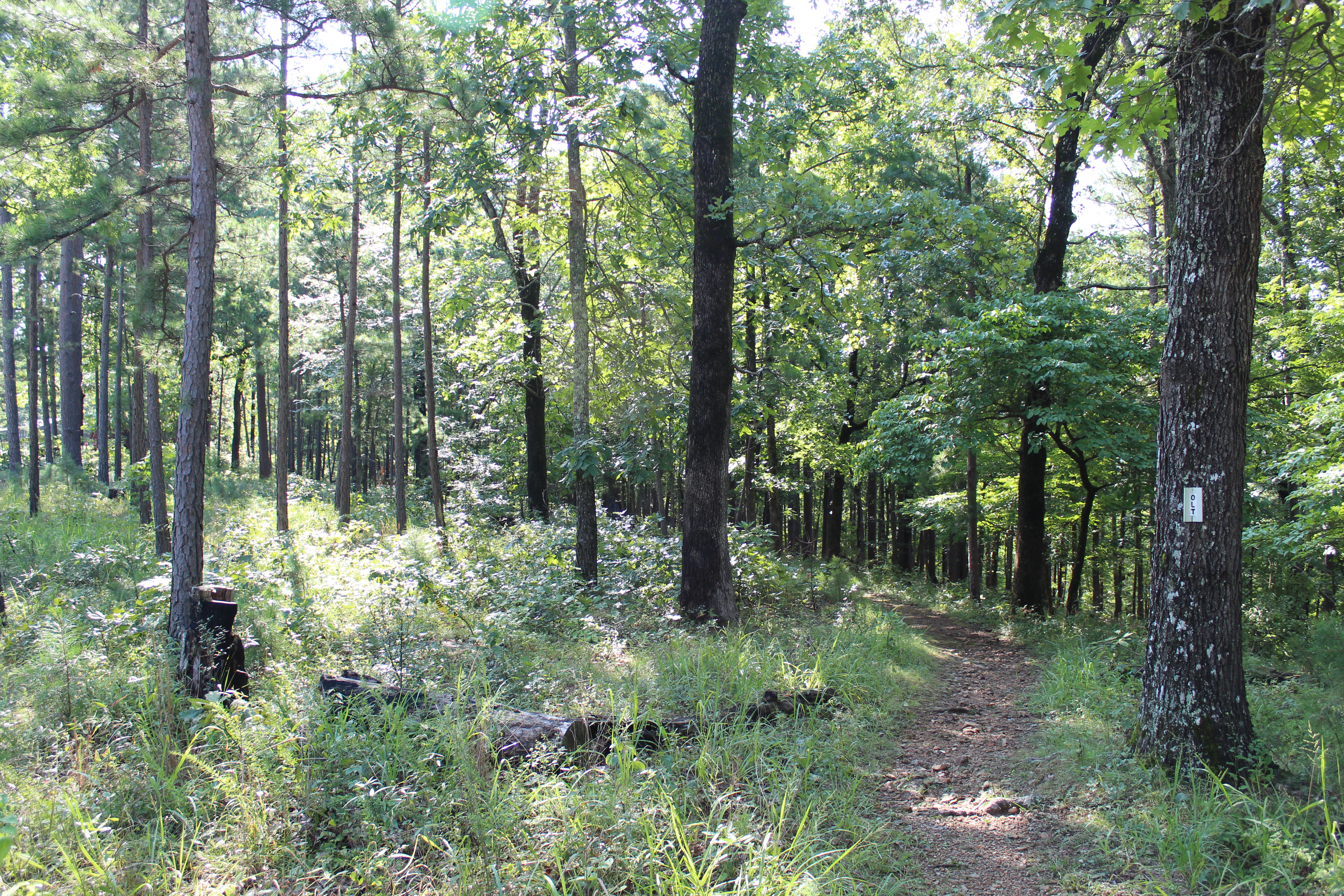
The Buffalo Point Campground Trails give campers, day hikers, and leashed dogs a chance to stretch their legs between the campground and the historic cabin area at Buffalo Point. Hike through a mix of a pine and oak trees, a cedar glade, and past a sinkhole as you explore. Wildflowers dot the trail system throughout the spring and summer. Finally, the view from the Overlook Trail is one that you do not want to miss!
Available Activities
Weather
Summer in the Ozarks can be very hot and humid. Please check the weather forecast prior to your arrival and plan accordingly. The weather the rest of the year has the potential to be wet and cool or dry and warm.
Please pay special attention to river levels and the rain forecast when planning a trip on the river. River levels can rise dramatically in a short period of time so please be aware of conditions.
Getting There
Buffalo National River is a long, narrow park that is crossed by three main highways. Highways 7, 43, and 62/65 are the main roads out of Harrison, Arkansas that will take you to the Buffalo River, depending on which part of the park you wish to visit. GPS systems are not reliable in this area so please call ahead for directions or pick up a map of the area beforehand.
Plan Your Visit
Let Roamze help you plan the perfect trip to Buffalo National River with AI-powered itineraries.
Hours
Buffalo National River
Buffalo National River is 135 miles long. The park is open 24 hours.
